<img height="1" width="1" style="display:none" src="https://www.facebook.com/tr?id=192888919167017&amp;ev=PageView&amp;noscript=1">
Thursday,  April 25 , 2024

Linkedin Pinterest

White Thanksgiving?

Cold snap coming next week

By Craig Brown, Columbian Editor
Published: November 17, 2010, 12:00am

The National Weather Service in Portland says incoming cold weather predicted to begin at the end of this week could culminate in temperatures in the 20s next week.

And, if any moisture is around, that could bring some snow to the metro area, according to a Special Weather Statement issued today.

Here is the text of the statement:

The coldest weather of the season is expected late this week into early next week in the interior valleys of Southwest Washington and northwest Oregon and in the western Columbia River Gorge.

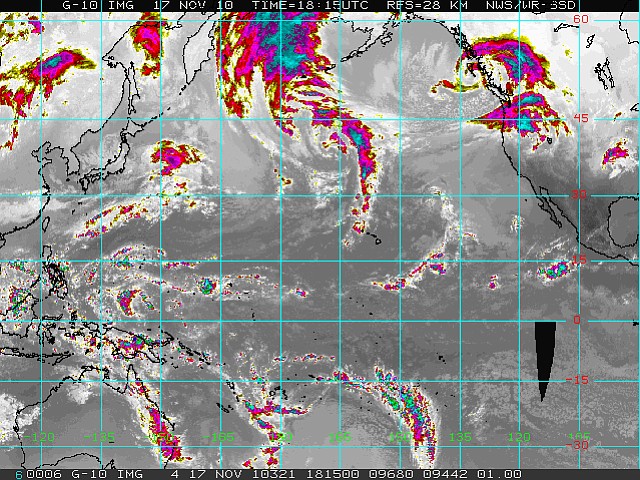
A complex cold low pressure system that will move into Southwest Washington and northwest Oregon today and linger near the coast into the weekend will likely bring the coldest air of the season to the interior valleys and the western Columbia River Gorge.

Rain could mix with snow near Hood River in the Columbia River Gorge as early as Thursday night and Friday morning. But the more significant cold air is expected to filter into Southwest Washington and northwest Oregon over the weekend with a second surge possible early next week.

If this cold arctic air materializes, it will bring the coldest air of the season to the area.

With low temperatures possibly falling into at least the 20s in the valleys. If any moisture is available, this could also bring snow to the valley floors by early next week.

While a lot of details are still up in the air, now would be a good time to make preparations for a significant cold snap by protecting tender plants, wrapping outdoor faucets and covering foundation vents.

Loading...