March brings substantial snowpack
Though clouds obscured Mount Hood most of March, a view from a PDX-bound jet reveals their moisture has boosted the snowpack to above normal.
Friday, April 1, 2011
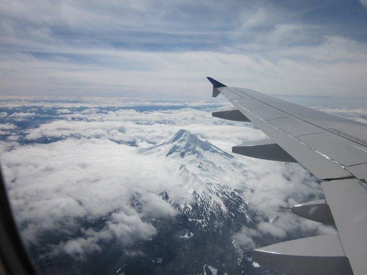
All that nasty March weather brought much-needed snow to the Cascades.
A steady influx of Pacific storms boosted the snowpack at Mount Hood to 112 percent of average as of the end of March, which is typically the peak of the winter snowpack.
That’s good news for the region as a whole, according to Jon Lea, hydrologist with the U.S. Natural Resource Conservation Service in Portland.
Snowpack throughout the Columbia River basin stood at 118 percent of average as of the first of April. Most of the water that drives hydroelectric turbines first clings to the mountains as snow.
A healthy snowpack means more water for irrigators growing crops, ocean-bound juvenile salmon and a surplus of electricity when it melts off during the late spring and summer.
Rate this
You must be logged in to rate this.
Current Rating :
Search Alerts
Receive updates from us on people or topics that interest you. (What's this?)
Sign up to receive email and/or text alerts from us whenever someone or something of interest appears on columbian.com. For example, if you follow the Blazers, you could enter LaMarcus Aldridge and we'd send you a link to our stories whenever he is mentioned in them. You just enter the person's name or other search terms, i.e., light rail or Vancouver crime, and then click Submit to sign up to receive updates. Note: Keep in mind that carrier charges may apply for SMS updates.
Choose a term below or enter in your own for you to automatically receive alerts when we post something new.


