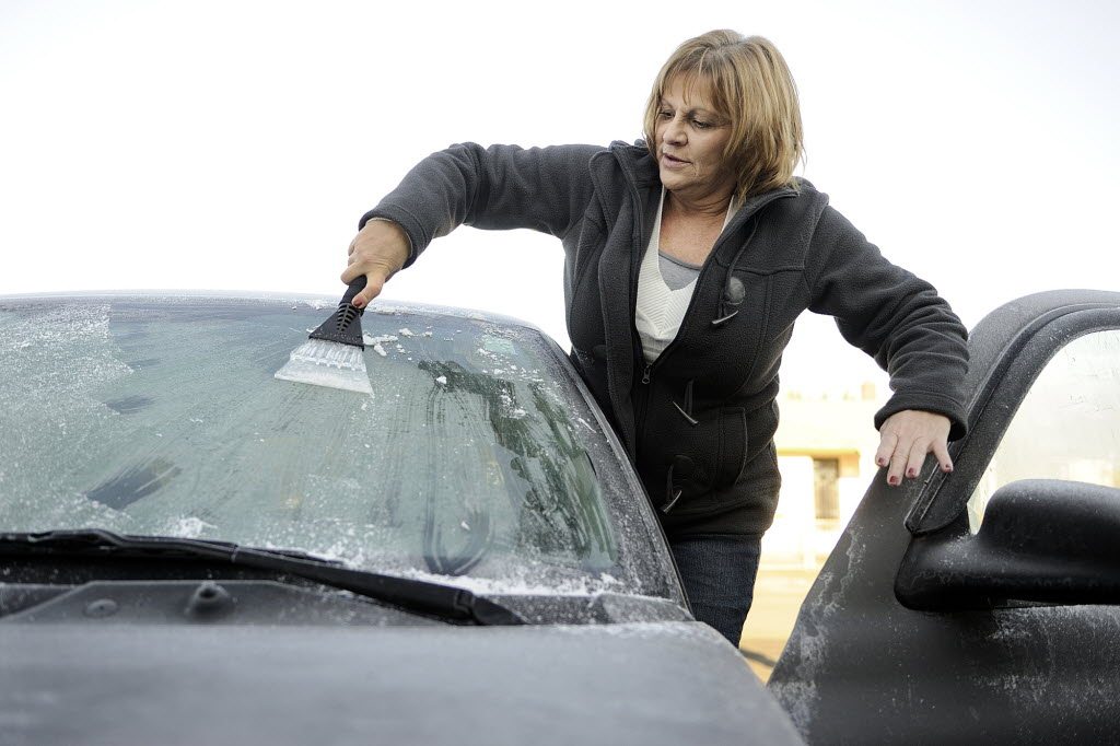
Cold and dry. That about sums it up so far this month and we can expect more of the same this week. OK, one small asterisk in that statement. It appears we may have a weather system later on Wednesday that may bring the greatest amount of rainfall so far this month. Maybe between a tenth and a quarter-inch of rain if it holds together. And maybe some light snow in the Columbia River Gorge and east county. The weak weather system that moved through over the weekend brought just a few hundredths of an inch along with a few flurries.
Phil Delany above Dole Valley had about a quarter-inch of snow late Sunday evening as snow showers wandered westward from the Gorge. And speaking of the Gorge, blustery east winds were present near the west end of the Gorge and should be Tuesday, somewhat promising another dry day.
Officially, Vancouver has recorded only 0.04 of an inch of rain this month, about two-and-a-third inches below normal. The average mean temperature is nearly six degrees below average, making this one of the coldest Decembers in the record books. And all of this without any arctic air settled in over us. Maybe things will change next week to a more typical December pattern, with rain and mountain snows like we are thinking; but some forecast models say wait a minute, a bout of rain or two then back to the same old thing. Time will tell so stay tuned.
With the clear skies at sunset Monday evening and light winds in much of Clark County, I would think by early Tuesday morning many areas would dip to 20 degrees, maybe even some teens in the outlying locations. The dew point was only 20 degrees at 5 p.m. Monday which is an indicator of just how dry the air is. An old predictor of the overnight low says that if you take the dew point reading at 9 p.m. that will pretty much be the overnight low. Of course this applies only on clear nights and locations out of the wind.


