GRAND COULEE DAM — The giant concrete dams of the Pacific Northwest are overflowing with water. Wyoming has deployed National Guard troops to pile up sandbags. A federal official compares the impending situation to a bucking bull ready to storm out of his chute.
States across the West are bracing for major flooding in the coming weeks once a record mountain snowpack starts melting and sending water gushing into rivers, streams and low-lying communities. The catalyst will be warmer temperatures forecast for the next week that could set off a rapid thaw.
Randy Julander, a supervisor with the U.S. Department of Agriculture’s Natural Resources Conservation Service, says flooding this year could be worse than anyone has ever seen. Julander said in a typical year the weather warms gradually, allowing snow in the mountains to melt slowly and ease into rivers and streams over time. That’s not the case this year after a cool, rainy spring.
“It’s all just sitting there, sitting there, sitting there. Everyone knows it’s going to come down, it’s just when and how quick that we’re all waiting for,” he said. “The bull is basically sitting in the chute and the gates are already open. He’s just not coming out to play yet, but when he does I anticipate he’s really going to be ticked off and bucking hard.”
At Grand Coulee Dam, gigantic cascades of water are being released to make room for spring snowmelt that is expected to fill the reservoir. A constant roar emanates from the structure as surging water churns the Columbia River below the dam into a white froth.
The dam is 500 feet tall, a mile across, and one of the largest concrete structures on Earth. It is the centerpiece of a network of dams built across the Pacific Northwest during the New Deal era that essentially act as a giant plumbing system for the region — and these days the pipes are overflowing.
The dam is releasing so much water that millions of fish have been put in jeopardy. The heavy flows through dam spillways capture dangerous levels of nitrogen from the air, and the gas bubbles give fish the equivalent of the bends. A fish farm near the Grand Coulee Dam says an estimated 100,000 fish are dying every day, and has gone to court to slow down the flows.
The massive amounts of water coursing through the dams have also created a surplus of hydroelectric power. It’s such a huge glut that the main provider of electricity in the Northwest ordered a shutdown of wind farms in the region because the grid can’t handle all the extra power.
‘Perfect storm’ looms
Early signs of flooding have been seen in other states. Utah has had dozens of mudslides ahead of what the governor calls a “perfect storm” for disastrous flooding in the northern part of the state. Small towns in Montana have been swamped with floodwaters in the past week. The U.S. Army Corps of Engineers has been carrying out big increases in the flow from the state’s Fort Peck Dam, causing flooding in South Dakota and North Dakota.
Federal officials have determined that Sacramento, Calif., with a population of about 470,000, has the highest flood risk of any U.S. city outside New Orleans, with some neighborhoods under 10 to 20 feet of water after a catastrophic levee failure. Last month, state and federal officials participated in an emergency drill to prepare for just such a disaster.
The National Weather Service predicts this will be one of the top five water years in history in the Pacific Northwest, and the biggest since 1997, the last year of significant flooding, said Gina Baltrush said of the U.S. Army Corps of Engineers.
Jon Lea, a hydrologist with the U.S. Natural Resources Conservation Service in Portland, said snowpack in the Western states is a combined 220 percent of average for this time of year.
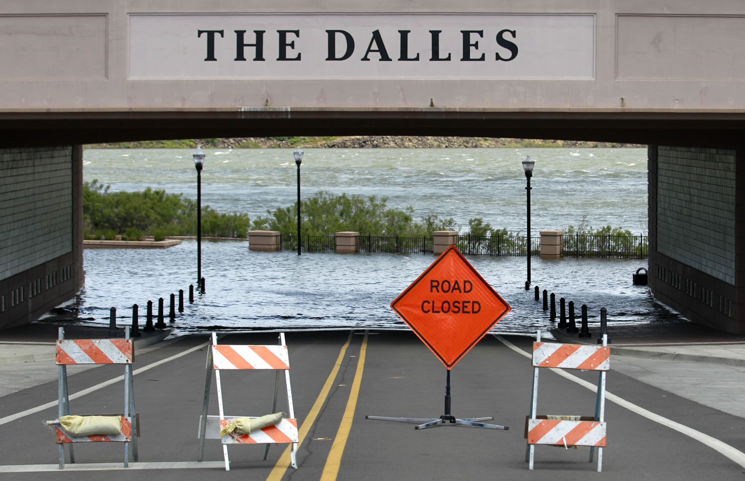
The Columbia River has been hovering right at flood stage for days in Portland, a low-lying area along the Columbia River. Steve Barton, the Army Corps’ reservoir control chief in Portland, said the Columbia should stay below 17 feet, but if the river reaches 18 feet, flooding could occur in lowlands, pastures and farmlands in an area that has a long history with floods.