The Columbia River is expected to keep flowing mightily — but controlled — over the next several days, as plenty of melting snow runs into the system east of the Cascades, as Bonneville Dam operators manage their releases to minimize problems, and as the tides change.
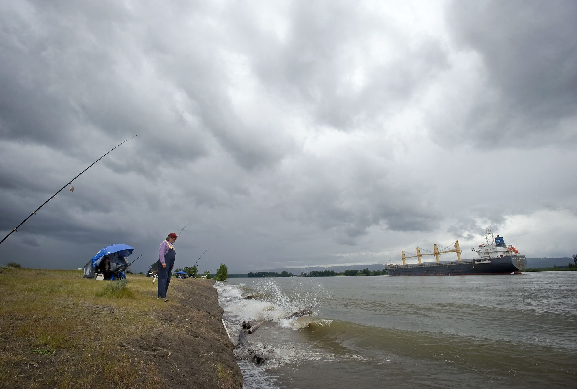
Only minor flooding in low-lying areas is forecast for the next several days, officials say. But they warn that the high-running river has especially strong currents and the water is very cold.
As of late Thursday night, no major problems due to flooding had been reported, a 911 dispatcher said.
The waves lapping at Clark County shores are expected to fluctuate around the official flood stage of 16 feet, according to a bulletin issued Thursday afternoon by Clark Regional Emergency Services Agency.
At 9 p.m. Thursday, the level was 15.7 feet, said an official with the National Weather Service in Portland.
Tonight, the river could rise to as much as one-quarter foot above flood stage, according to revised predictions. Levels below 16.5 feet are expected through Monday.
As has been the case for several days, only areas of very low elevation are expected to take on significant water, CRESA said in the bulletin.
Those areas include:
• In Washougal, Captain William Clark Regional Park at Cottonwood Beach is flooded, and park officials have had to cancel reservations for shelters there. Access to Steamboat Landing dock is inundated. Out in the river where boaters like to camp, Government Island’s banks also are flooded.
• The end of Tidewater Cove, between Wintler and Marine parks, has taken on water.
• One part of Vancouver’s Waterfront Renaissance Trail has become a pond for ducks and proud-swimming geese. That section is barricaded and off-limits for walkers and bicyclers.
• Low areas of the Salmon Creek Greenway Trail are flooded, and hikers are advised to choose higher and drier paths.
• Vancouver Lake has swollen and parts of the park are inundated.
However, no roadways have flooded, CRESA, which operates the Clark County 911 system, in said the bulletin.
“The lowest elevation road is the section of Columbia Way that is under the I-5 Bridge,” the bulletin added. “It’s still a couple of feet above the water level, and we currently don’t expect that to flood.”
Emergency officials also are stressing that the river’s currents are especially strong with such a great mass of water rolling through.
The fast-moving water is very cold and folks in boats and along the shore are asked to be especially careful.
John Branton: 360-735-4513 or john.branton@columbian.com.