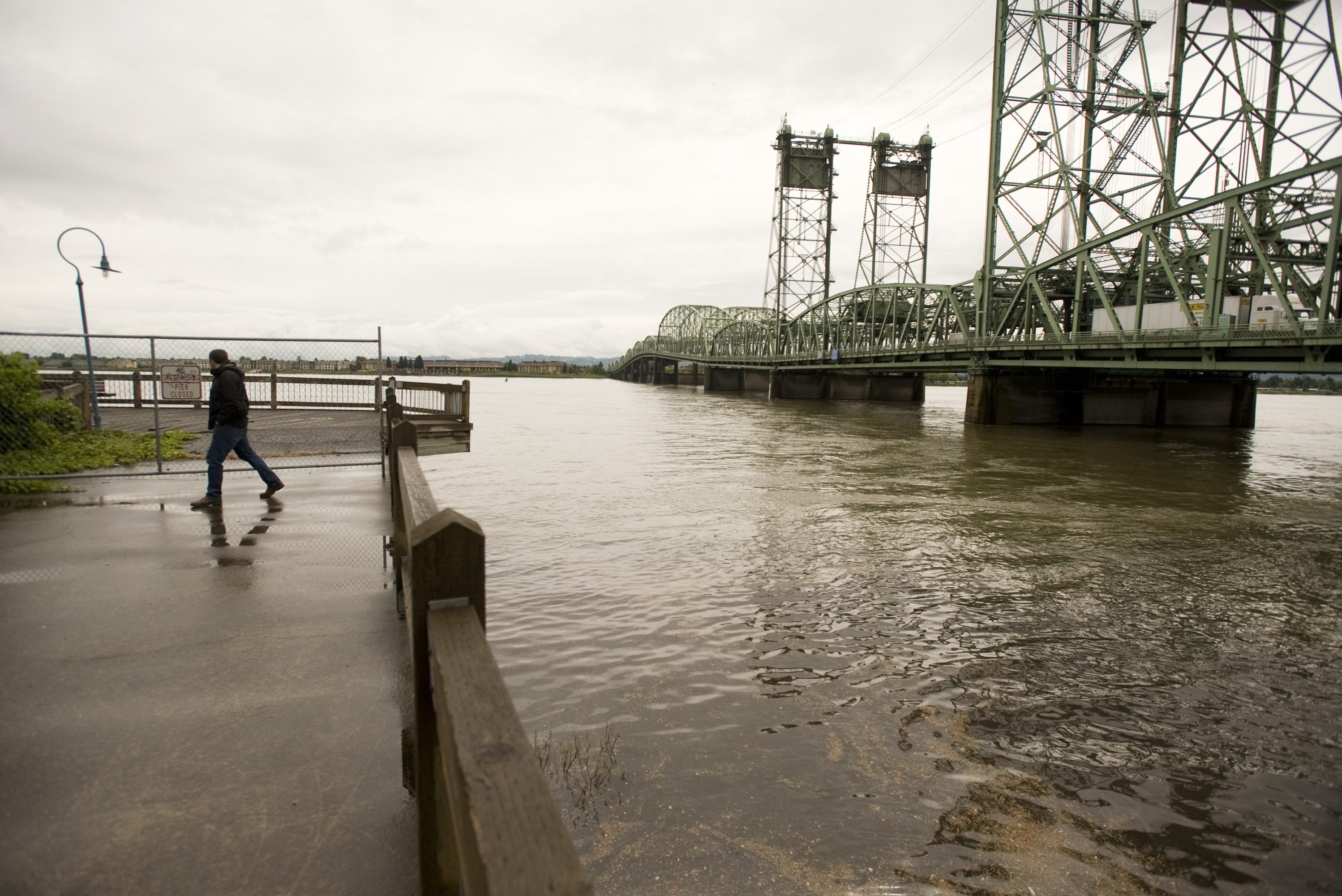
The Columbia River has risen above flood stage in Vancouver, though the impact should be limited, according to the National Weather Service.
As of 4:36 p.m. Saturday, the Columbia had risen to 16.55 feet at a gauge located near the Port of Vancouver. Flood stage is 16 feet.
Forecasts predict the river will remain above flood stage for days, climbing up to 16.9 feet by Monday.
River levels are expected to fluctuate by as much as 6 inches depending on tidal actions and the release of water from Bonneville Dam as water managers regulate water flows swollen by snowmelt.
At this level, the Columbia will cause flooding of the Renaissance Trail along the river just east of the Interstate 5 Bridge, along the lower Salmon Creek Greenway Trail and low-lying camping areas including Cottonwood Beach near Washougal and on Government Island.
The high water is also likely to result in a lager-than-usual number of bridge lifts on the Interstate 5 Bridge due to reduced clearance under the bridge’s midspan “hump” caused by the higher river levels.
Federal law gives maritime traffic the right of way, which means bridge operators must comply with all requests for bridge lifts from vessels outside of weekday rush hour periods.
Vessel operators are not charged a toll for requesting the lift, and Oregon Department of Transportation spokesman Don Hamilton said no serious discussion has ever been raised about imposing them.
“I guess the general presumption was that the river was here first,” Hamilton said.