The jewel remains hidden to many. “We feel somehow we are behind Portland — it’s progressive and we’re not,” said Gary Bock, a veteran of much Clark County wetlands restoration work. “When I introduce people from Portland to the trail, they are stunned and amazed. ‘You can ride all the way from Vancouver Lake to east Vancouver with just a half-dozen street crossings?’ They’re absolutely aghast.”
Occasionally aghast during initial creation of the trail were the Washington Department of Transportation, which required persuading to let the trail come
alongside and underneath state Highway 500, and the Bonneville Power Administration, which resisted the idea of pedestrians below its power lines. Complications and cost meant the project took 30 years to complete, from the late 1960s until the late 1990s, according to Kelly Punteney, a former city Parks and Recreation planner.
But the city and some influential citizens — such as Dorothy Langsdorf and Bill Firstenburg (son of late banker Ed) — never stopped pushing. Former city manager Victor Erlich made a “visionary” contribution, Punteney said, in matching stormwater money with recreation money to make the eastern stretch of the Burnt Bridge Creek basin double as a pedestrian greenway.
The trail is paved end to end and considered a multi-use facility — available to pedestrians and wheelchairs as well as cyclists — and many, but not all, street crossings feature pedestrian-activated signals. Traffic can get heavy in places, so don’t take risks — just wait for go.
Stewart Glen
Let’s start at the westernmost trailhead, Fruit Valley Road at Bernie Drive. It’s the oldest paved trail in Vancouver, built in 1985, and it grew notorious among cyclists for a bumpy ride until 2008, when a $1.5 million renovation widened and improved the surface and the trailhead. Remember that gravel minefield of a parking lot? Today there’s just steep onstreet parking; don’t forget to set your emergency brake.
Enjoy lush slopes of forest and fern to the south and views of the ridge to the north. This section of creek more or less demarcates the boundary between Vancouver and west Hazel Dell. As you head east, there are wide-open bottomlands and views of private pastureland. Pass over two pedestrian bridges, observe stop signs at dead-end Alki Road and Second Avenue, and notice the undeveloped city park to the south.
Leverich Park
A hop down and across Hazel Dell Avenue keeps you on the trail; take in glamorous rear views of downscale rentals and commercial storage. Climb the slope and coast the I-5 overpass. Enjoy the downhill glide and veer right; the trail bottoms out in a cul-de-sac — watch out for cars — and rises into Leverich Park, which used to be dominated by transients but lately has been seized by flying discs. You’re approaching the tee-off for hole No. 10, so be careful of disc golfers and their airborne projectiles.
Stay straight until you must turn right and over a little bridge. Push up into the thick of the disc golf course — anything slicing through the air will be coming from your right — and bear left. A steep rise here doesn’t last long. Cross 15th Street and head straight down 41st Circle. You’ll have to choose a side and squeeze past a traffic island. There’s a horse barn on your left.
Arnold Park
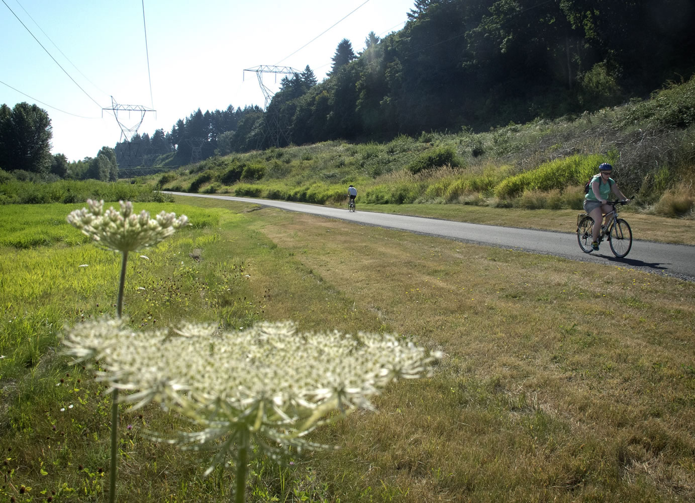
Here’s a Vancouver park that most folks don’t know about, named for H.W. Arnold, ancestor of the late mapmaking legend Phil. The trail plunges through thick vegetation and then out across a wide-open landscape ruled by Bonneville Power Administration towers and cables. There’s a spur to your right that will become a picturesque stopping-off spot with a bench, according to Washington State Dept. of Transportation project manager Lori Figone.
Here comes trouble: your first huge hill. Struggle up to St. Johns Road — we won’t tattle if you get off your bike and walk — and catch your breath while admiring the majestic rear view.
This street crossing is still temporary, while road construction finishes up, so be extra careful here, especially with that wicked right turn; this is yards from the spot where Hudson’s Bay High School teacher Gordon Patterson was hit on his bike and killed by a driver paying attention to texting, not the road, in 2009.
The new crossing will be a little to the south, eliminating that nasty turn, and feature what’s called a HAWK beacon — the latest word in highly visible pedestrian-activated crossing signals. “It’s going to be a much safer crossing than it used to be,” Figone said.
Walls of stone
Glide downhill again, taking advantage of altitude to gaze upon the thicket to your left. Then study the unusual construction of state Highway 500 here: a wall of stones held in place by heavy mesh.
“That’s called a welded wire wall,” Figone said. Most highway walls were built this way and then closed up with concrete panels, Figone said, but tight funding led to this insight: leaving the panels off creates an interesting look, saves money and also discourages graffiti in what has historically been a high-vandalism area.
The trail winds south below the highway. No additional pillars were built into Burnt Bridge Creek to support the new on- and offramps, Figone said. Gentle slopes pass through shady woods and behind Creekside Apartments. There’s a smattering of graffiti and one disturbingly butchered park bench here that’s long overdue for replacement.
Fight your way up the final winding rise, and keep following those power lines. Careful crossing busy Fourth Plain. These soccer fields are known as BPA Park, and you may have to avoid players and parents crowding the trail. Stuck to the bottom of BPA Park is diminutive Meadow Homes Park. Cross 18th Street — and brace yourself for the bumpiest bit of the whole trail.
Wide open, hidden
Jostle the half-mile from 18th to Devine Road (note to city: any money for repaving this?). Here at the Devine trailhead, there’s a restroom, a water fountain and a map. There’s also a parking lot, in case you want to call for motorized rescue. But don’t — you’re entering the wide-open-spaces section of the trail, where views are grand and your way is straight and flat.
“It’s a crazy wide floodplain,” Bock said. “Way too wide for a creek that size. It never got developed because it’s so goopy down there.”
Don’t skip the (poorly signed) sightseeing detour to the north, which loops around a wetland teeming with wildlife. It’s probably the prettiest spot on the entire trail, and it’s generally bypassed.
“It filters the water before it heads for the Columbia River,” Bock said. “It also happens to be a beautiful, charming waterfowl habitat. How cool is that?”
More miles, years?
The Andresen crossing boasts one of those rapidly responsive HAWK beacons; barely a moment after you’ve requested the green, it’s time to move along. Note the greenhouse on your right, where the city grows native plants that the Greenway/Sensitive Lands Team and its many volunteers use to replace invasive species.
Pass under 86th Avenue and you’re nearly done. Here comes a cinderblock wall and a bench where you can rest after your odyssey. A spur leads north through Meadowbrook Marsh to Burton Road, but the only parking available here is the cul-de-sac at 19th Circle. Check the map: Yup, you did it!
Ready for the return trip?
“I hope we put it back together as good as it was,” said Figone. “Typically we’re doing highways and freeways; we don’t have to design for bikes and pedestrians. There was a lot of coordination.”
“I hope people don’t get the impression the trail is done,” Punteney said. “We still have the rest of an 18-foot corridor that’s ripe for a trail that goes all the way to Pacific Park.”
That would add something like four more miles to this beautiful trail. We hope it doesn’t take 30 more years.
More awesome rides
Burnt Bridge Creek may be the best paved bike trail Clark County has to offer, but it’s not the only one. Here are other terrific paths for pedal pushers.
o Salmon Creek Greenway Trail. Just as picturesque as Burnt Bridge Creek, but at three miles it’s shorter and easier, with no street crossings. Klineline Pond, where you must pay for parking during summer months, is at the east end, and the 36th Avenue bridge is at the west. Enjoy big views of wetlands and restored wildlife habitat, or take in a game at the girls’ softball fields.
o Capt. William Clark Park. An easy three-mile trail runs along a dike paralleling the Columbia River. Park at South Index Street, just south of the Port of Camas-Washougal.
o Lacamas Heritage Trail. Gravel but worth it: a 3.5-mile straightaway that runs from Goodwin Road along Lacamas Lake to Round Lake, and connects with more trails there.
o Padden Parkway Trail. Not much to look at since it hugs the south side of the crosstown freeway, but it’s 11 miles of flat, easy riding.
o Vancouver Lake to Frenchman’s Bar. A roadside path covers the 2.5-mile distance, with gorgeous views of farm fields and lots of waterfowl. Plus, try the dead-end Rieger Memorial Highway along the west side of Vancouver Lake for the same views from an even more remote location.
Scott Hewitt: 360-735-4525; scott.hewitt@columbian.com; facebook.com/reporterhewitt.