Cold air mass brings snowflakes to lower elevations
Weather blogger says more may be coming Tuesday
The Columbian
Published: February 24, 2012, 4:00pm
Share:
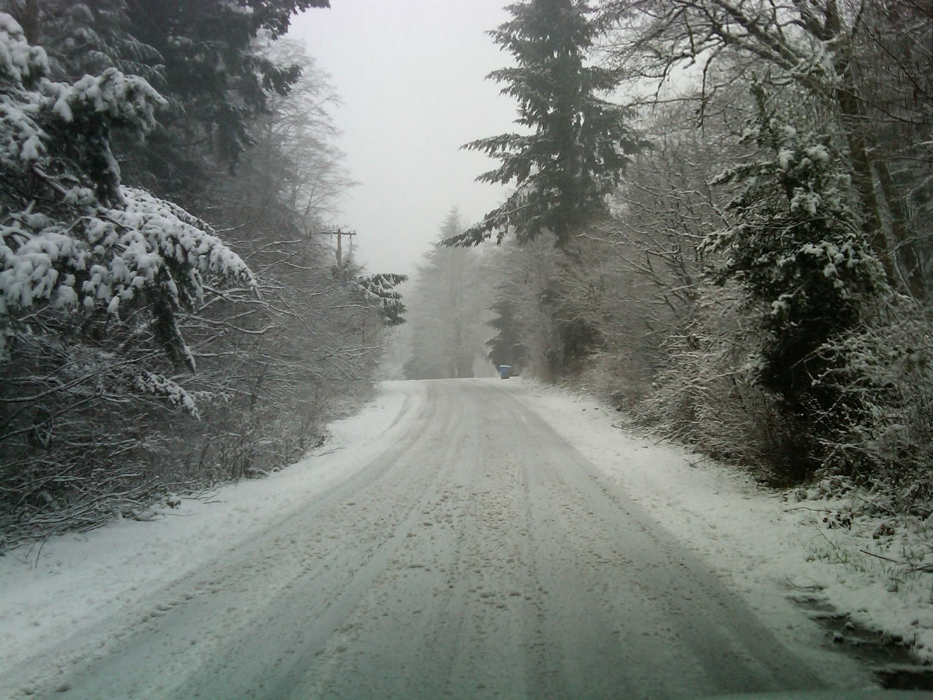
Snow covers the ground at the 900-foot elevation level of Livingston Mountain east of Vancouver early Saturday afternoon. Snow could fall as low as valley floor this weekend but is only expected to stick at higher elevations.
A cold air mass moved over the region overnight and snow levels have lowered to around 1,000 feet. Satellite imagery shows abundant showers moving across the region with more upstream.
Some of these showers have been bringing snow below 1,000 feet, with a few spotter reports of light snow accumulation between 500 and 600 feet as well as a few snow flakes mixed with rain at the valley floor.
As of about 1 p.m. Saturday, about 2 inches of snow had fallen at about the 1,300-1,500 elevation level in far eastern Clark County. Snow was also accumulating at the 900-foot level on Livingston Mountain.
Here is the latest forecast for Vancouver from the National Weather Service for the rest of the weekend:
Tonight: Rain showers before 4am, then scattered rain and snow showers. Snow level 700 feet. Low around 36. West wind between 7 and 11 mph. Chance of precipitation is 90%. Little or no snow accumulation expected.
Sunday: Scattered rain and snow showers before 10am, then rain showers likely between 10am and 4pm, then a chance of rain and snow showers after 4pm. Snow level 700 feet. Mostly cloudy, with a high near 45. Southwest wind between 3 and 6 mph. Chance of precipitation is 60%. Little or no snow accumulation expected.
Sunday Night: A chance of rain and snow showers before 10pm. Mostly cloudy, with a low around 30. Calm wind becoming north northeast around 5 mph. Chance of precipitation is 40%. Little or no snow accumulation expected.
Morning Briefing Newsletter
Get a rundown of the latest local and regional news every Mon-Fri morning.