Originally published at 5:25 a.m.
Clark County commuters braced for a slushy slog to work
Power outages are a strong possibility for Wednesday as the country recovers from an overnight dumping of wet, heavy snow and strong winds are forecasted to move into the region later in the day.
By 9 a.m. around 4,400 Clark County residents were without power. The utility’s power outage map looked like a 6-year-old with a case of the measles, with dozens of outages reported across the utility’s service area.
Wednesday as a wintry system that had flirted with the region for days finally showed its intentions, dumping snow throughout the metro area.
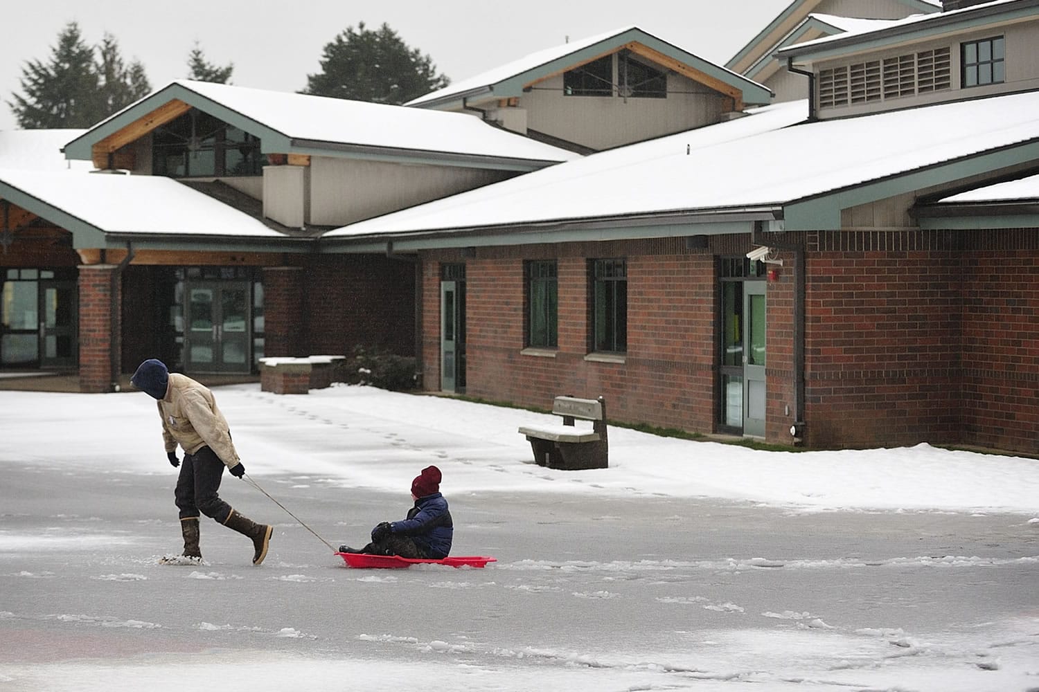
With metro area temperatures above freezing, the approximately two inches of snow that fell overnight Tuesday was well on the way to melting by 5 a.m., but virtually all local schools were closed for the day anyway, including Evergeen, Vancouver and Battle Ground.
It was 37 degrees at Vancouver’s Pearson Field at 7:38 a.m. according to the National Weather Service.
Main highways in the area were in decent condition for the morning commute with the exception of standing water, said Trooper Ryan Tanner, local spokesman for Washington State Patrol. Troopers were dealing with cars in ditches on state Highway 500 east of Vancouver and treacherous conditions on state Highway 14 east of milepost 27, near Salmon Falls Road, he said.
Clark County Public Works had crews out at 4 a.m. plowing roads and spraying deicer on hills, curves and intersections, spokesman Jeff Mize said in a release. By 5 a.m. the county had 25 trucks working the streets. Mize didn’t hear of any particular problem spots, but said the higher elevations were still getting some snow in the early morning hours.
Time, warmer temperatures and rain will probably do more than snowplows at this point, he said.
Vancouver public works crews modified shifts to work last night and were able to plow roads until 7:30 a.m., said Loretta Callahan, spokeswoman for Vancouver Public Works.
The bigger issue in the morning were downed trees. One tree fell on Andresen Road south of Mill Plain Boulevard and was blocking at least one southbound lane, she said.
As the cold weather that started last weekend was replaced by a warmer system, the National Weather Service issued a wind advisory for the metro area beginning at noon Wednesday. It forecasts south winds of 20 to 30 mph with gusts as high as 45 mph. The wind should die down a little bit by 6 p.m.
Police and firefighters responded to several reports of down trees, non-injury crashes and down wires through the night and into the morning, according to CRESA logs and emergency radio traffic monitored at The Columbian.
C-Tran had several buses on snow routes and modified routes because of road conditions, but returned to normal schedules by 7:45 a.m.
Classes, events and meetings at Legacy Health scheduled before 10 a.m. have been canceled and will be rescheduled, spokeswoman Maegan Vidal said in a release.
At Portland International Airport, more than a dozen flights to Pacific Northwest destinations were canceled, and other flights were delayed. The airport anticipates most flights will operate normally. Complete information is at http://www.flypdx.com.
The forecast:
Today: Snow before 7am, then rain. Snow level rising to 3900 feet in the afternoon. High near 42. East wind 7 to 16 mph becoming south. Winds could gust as high as 22 mph. Chance of precipitation is 100%. Little or no snow accumulation expected.
Tonight: Rain. Low around 36. South wind between 6 and 13 mph. Chance of precipitation is 90%. New rainfall amounts between a quarter and half of an inch possible.
Thursday: Rain. High near 41. South southeast wind 5 to 7 mph becoming east northeast. Chance of precipitation is 90%. New rainfall amounts between a half and three quarters of an inch possible.