Connector street near City Hall named after Phil Arnold
By Tom Vogt, Columbian
Science, Military & History Reporter
Published: March 7, 2012, 4:00pm
Share:
2 Photos
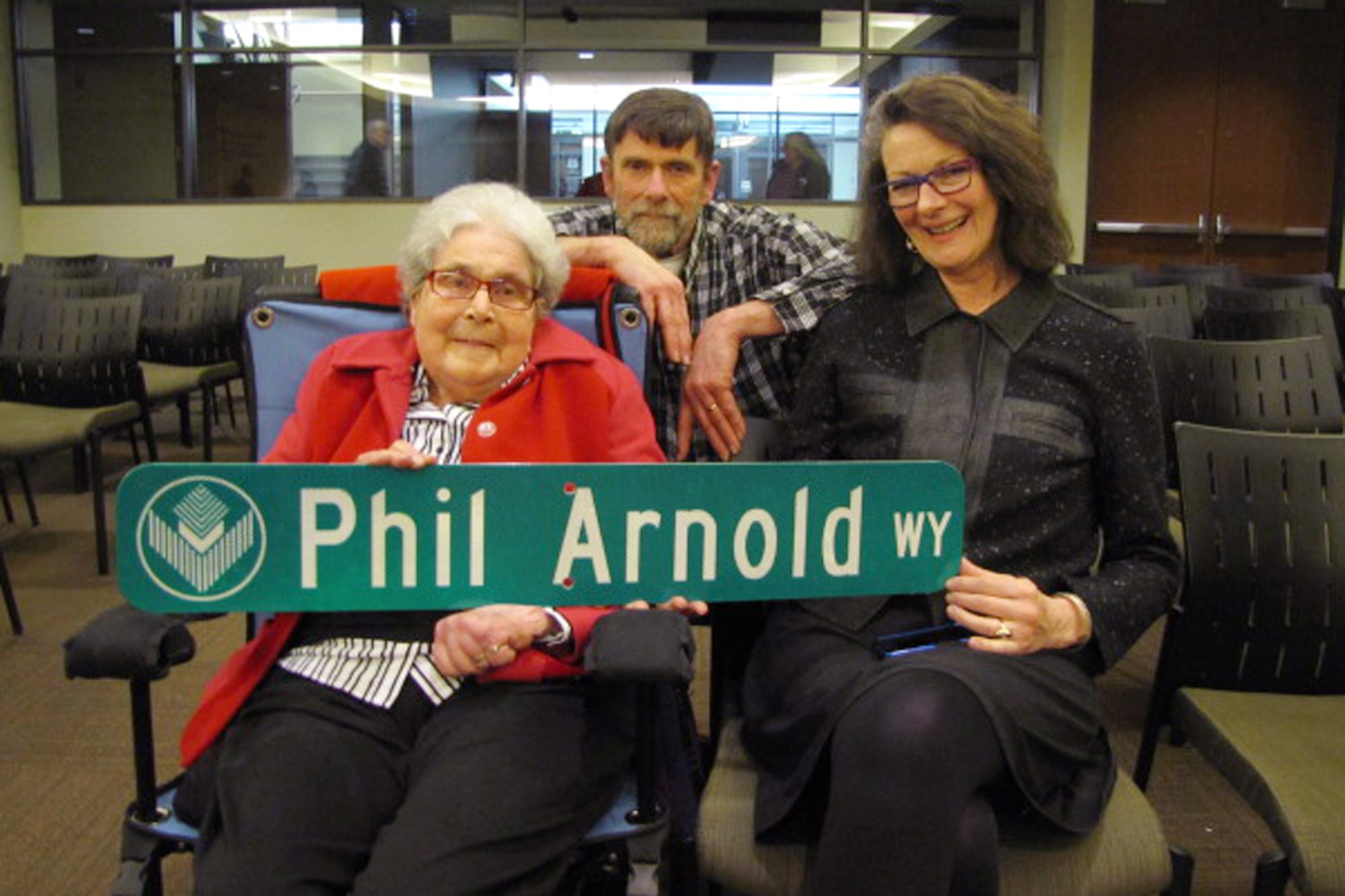
Helen Arnold, Phil Arnold Jr. and Janice Arnold display a street sign honoring Phil Arnold on Monday at City Hall.Photo Gallery
What: A public memorial service for Phil Arnold
Where: First United Methodist Church, 401 E. 33rd St.
When: 3 p.m. Sunday, April 1 (Yes, April Fool’s Day).
Cost: Free
When Phil Arnold died, he was planning to update his map of downtown Vancouver to show recent changes on Fourth Street.
Janice Arnold and Phil Arnold Jr. had agreed to revise the Vancouver map drawn by their dad, and now they have something else to update. The two-block stretch of pavement isn’t Fourth Street any more; it’s Phil Arnold Way.
The city has renamed the street to honor Arnold’s long career as a mapmaker. Phil Arnold Way is just south of City Hall, linking Esther and Columbia streets.
It’s a suitable location for the honor, Janice Arnold said.
“It’s what dad called a connector street. It’s so very poignant, because he was an incredible connector,” she said. “He connected the dots for all of us so we could see the bigger picture.”
The area is part of Vancouver’s historic core, as well as a piece of an eventual riverfront makeover.
“It’s a place looking to the future, as well as the past,” she said.
City Councilor Jack Burkman, who brought the idea to city officials, has a practical appreciation for Phil Arnold’s skills.
“I like a good map,” Burkman said. “I moved here in the mid-’80s as an engineer, and was looking for a map to learn the area. I couldn’t find one until I found Phil’s.”
Arnold, who died on Jan. 14 at age 96, made maps for more than 60 years. He created them by hand, using old-world pen-and-ink techniques rather than computer technology.
“That’s hard,” Burkman said.
Emergency service personnel need good maps, Janice Arnold said, and her father made sure they could find their way around this rapidly growing county.
“Since 1947, he was a resource for fire and police departments,” she said.
When new developments filled in parts of the county, “He would glue updates on the wall maps of
emergency service agencies,” she said at Monday’s City Council meeting.
Filling in the blanks
A spot near City Hall is an appropriate place to honor Arnold, Mayor Tim Leavitt noted as he read the resolution. After World War II, Arnold worked for the city as an engineer, designing streets and water lines.
What: A public memorial service for Phil Arnold
Where: First United Methodist Church, 401 E. 33rd St.
When: 3 p.m. Sunday, April 1 (Yes, April Fool's Day).
Cost: Free
The name change cost the city $350 to produce and install new street signs at three spots. Most of the property adjacent to the street is owned by the city. There are no businesses along the street that would have to change an address.
Older maps show Fourth as a straight-line, east-west street. When the building that’s now City Hall was built, Fourth Street pivoted slightly to follow the railroad berm, with a gentle curve.
The new route was drawn in on Arnold’s last map with a red pencil, with the notation: “To be updated.”
Phil Jr. and Janice Arnold both have their own careers, and weren’t involved in the day-to-day map business. But they have some background in the craft.
Janice Arnold said she took a cartography class as a student at The Evergreen State College.
Phil Jr. said he learned a lot while helping his father.
“He taught me a lot of skills,” Phil Jr. said.
Still, he said, picking up their father’s assignment, “is a little bit scary.”