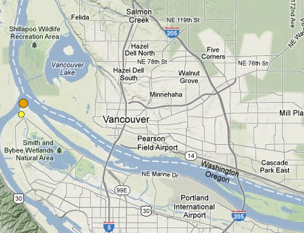
The tremor was centered about 12 miles below Kelley Point Park in north Portland. The park sits a few miles west of the Fruit Valley neighborhood in west Vancouver. A 2.1 magnitude earthquake was reported in the same area around 5:30 a.m. Friday.
Tip: you can interact with this map using your
fingerscursor (or two fingers on touch screens)cursor.
Map
Similar-sized quakes have been reported in that area since at least 1972. The last one of the same size was reported there in 1999, said Tim Walsh, chief hazard geologist with the Washington Department of Natural Resources.
“The earthquake is a little too deep to confidently tie it to a fault,” Walsh said. “There has been a fair amount of seismicity in that area over the years.”
The recent severe weather in the area is not connected to the quake, he added.
The earthquake may be associated with the Portland Hills Fault, which geologists think may be tied to a ridge and other geologic activity in the area, but the quakes are too deep in the ground to know exactly where that fault is, he said.
“A lot of people would like to put it on the Portland Hills Fault, except nobody can find the Portland Hills Fault (because it’s too deep),” Walsh said.
The temblor also was detected by a seismograph in The Columbian’s server room in downtown Vancouver. The magnitude was not immediately available, but the duration was 7.2 seconds, said Brian MacKay, a Columbian IT specialist. It was recorded beginning at 6:15:12.8, or 14:15:12.8 UTC, or Coordinated Universal Time, which is the time used by seismic instruments.
There may be some very small aftershocks in coming days, but they will probably be too small to feel, Walsh said.
“The earthquake that happened (Monday) morning is around the threshold of being able to feel it,” Walsh said, adding that aftershocks are usually smaller in magnitude.
Mount St. Helens generally has one or two magnitude 2 or slightly higher earthquakes per week, which are usually not noticeable to people who live in the area.
The largest quake in the Mount St. Helens fault was a 5.5 on Feb. 14, 1981.
There’s no evidence that the Monday earthquake is connected to the Mount St. Helens Fault.
“Mount St. Helens is persistent,” Walsh said. “You get earthquakes there every day.”
Generally those living near the river or other areas with sandy soil will feel shaking from an earthquake farther away than those who live on bedrock or more compact ground, Walsh said.
It’s also unlikely that the fault is connected to the larger Cascadia fault system, which scientists have connected to a 9.0 earthquake in 1700, he said.
“At that location, the Cascadia interface would be 7, 8, maybe even 10 miles deeper,” Walsh said. “This almost certainly isn’t on Cascadia.”
Cheryl Bledsoe, emergency management division manager for the Clark Regional Emergency Services Agency, said 911 dispatchers received one call about the earthquake from someone in the Salmon Creek area. A few others said they felt the quake on the CRESA Facebook page, she said.
Did you feel the quake? Let us know in the comments or by sending an e-mail to metrodesk@columbian.com.
Morning Briefing Newsletter
Get a rundown of the latest local and regional news every Mon-Fri morning.