Precipitation totals in Vancouver this summer:
July 0.24 inch
August 0.00 inch
September 0.04 inch
TOTAL 0.28 inch
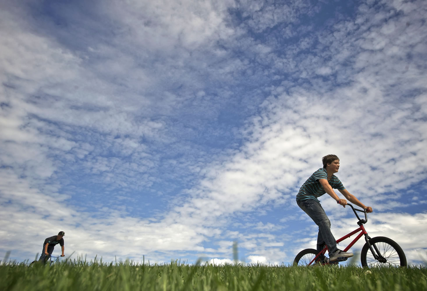
A stubborn dry spell has turned into a record-setting three months for Vancouver and a handful of local cities — and the trend shows no end in sight.
From July 1 to Sept. 30, Vancouver saw just 0.28 inch of rain, according to the National Weather Service in Portland. That’s the driest stretch ever recorded for Vancouver, according to the weather service, easily beating the old record set in 1952. That year, 0.57 inch of rain fell during the same three-month stretch. Vancouver records date back to 1896.
The parched conditions come after a damp spring left many people wondering when summer would finally begin. Now, it seems Mother Nature has again hit the pause button.
“We had the cool, wet spring. That stuck with us for a long time,” said David Elson, a meteorologist with the weather service. “Now we’re in this dry pattern.”
Vancouver wasn’t the only place that rewrote the record books from July through September. In Oregon, Portland International Airport, Hillsboro and Salem all set precipitation marks of their own. Salem has registered only 0.11 inch in the rain gauge since July 1, according to the weather service.
The extremely dry conditions have caused havoc for firefighters across the region. The weather service on Tuesday issued a “red flag warning” for fire
danger across Southwest Washington and northwest Oregon. Several local agencies, including the city of Vancouver, have recreational burn bans still in effect.
Of course, prolonged warm, dry weather isn’t all bad. This year’s conditions have amounted to an extended growing season for many local farmers, said Taylor Murray, who leads a local branch of the Farm Service Agency. The “extended summer” gave plenty of crops good yields this year, he said, and will allow farmers to get extra work done in their fields before the rains return.
“I think everyone’s probably happy to have gotten this extra month,” Murray said. That’s particularly true after a difficult start to the year for many growers, he said.
It’s unclear how long the prolonged run of dry weather will last. Elson said it would have to stretch into November and December to take a significant bite out of mountain snowpacks and water supplies. But the winter of 2012-13 is shaping up to be a weak El Niño year, Elson said, which can mean below-average precipitation for the Northwest.
For now, a persistent high-pressure ridge will deflect any chance of raindrops over Southwest Washington. Temperatures will drop — overnight lows are expected to land in the low 40s this week — but forecasters still see no precipitation in sight, according to the weather service.
“In the next week or so,” Elson said, “it doesn’t really look like we’re going to break out of it.”
Eric Florip: 360-735-4541; http://twitter.com/col_enviro; eric.florip@columbian.com.


