The two-pronged wallop of snow and cold air should slowly make its way out of the area tonight, as temperatures are expected to climb above freezing for the first time in several days on Sunday.
Snow resumed falling in Clark County about 2 p.m. Friday, bringing another inch or two of powdery snow on top of Thursday’s accumulation. Updated storm totals were not available from many reporting stations Friday evening, but the snowy weather has continued to frustrate drivers.
And more is coming.
“Right now, the forecast has 1 to 3 inches, probably on the lower end of that,” Jeremiah Pyle, a meteorologist with the National Weather Service, predicted for today. “Overnight Saturday, it will switch from snow to sleet and rain. The timing is fairly uncertain, but until it switches over to rain it’s going to be pretty bad.”
Slick road conditions are likely to continue into Sunday morning, he said.
By Friday morning, the Washington State Department of Transportation had responded to 12 collisions and 10 disabled vehicles in the hardest-hit areas of Clark and Cowlitz counties. The department has 20 maintenance personnel working in the two counties.
Although roadways continue to be plowed and treated, WSDOT advises drivers to avoid travel if possible until the roads clear.
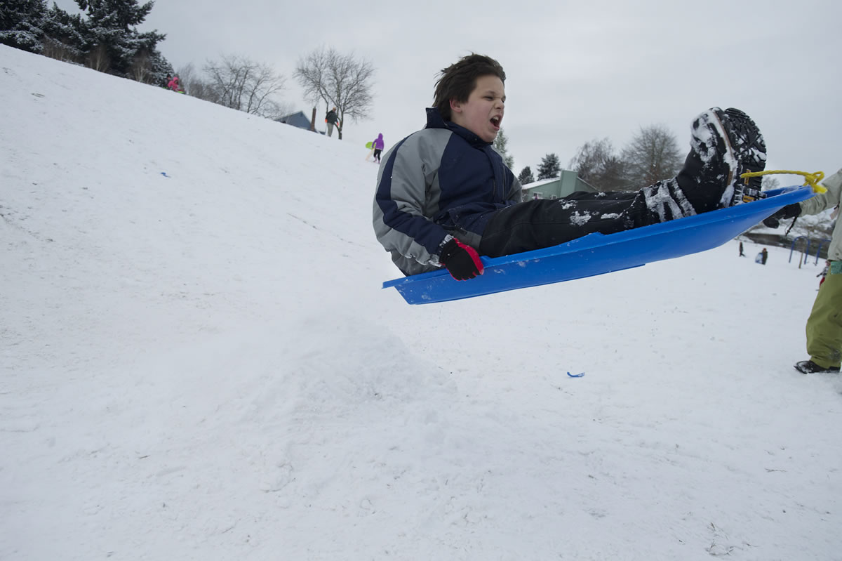
Many weekend activities have been canceled because of the snow.
All school and college weekend activities are also canceled. However, the ACT test at Mountain View High School is still planned.
Firstenburg, Marshall and Vancouver Tennis Center will be closed all day today, and a decision on Sunday activities will be announced today on the Parks and Recreation website at http://www.cityofvancouver.us/parksrec.
In the storm that hit Thursday, the National Weather Service reported total accumulation levels of 9.5 inches in Ridgefield, 7.5 inches in Salmon Creek, 7 inches in Woodland, 7 inches in Battle Ground, 3.3 inches in Vancouver, 3 inches in Orchards and 2 inches in Hockinson. Thursday’s high of 23 degrees also broke the record lowest high temperature of 32 degrees, set in 1899.
Snowfall levels on Friday were greater in Oregon’s Willamette Valley, with up to 9 inches reported in Corvallis, bringing it’s two-day total to 18 inches.
Clark County can expect more snowfall and cold temperatures today, with wind gusts of 35-45 mph near the Columbia River Gorge and at least one more freezing night ahead.
Forecasters predict a high of 31 degrees today, and a high of 32 and a low of 31 on Sunday.
The city of Vancouver reported its crews have been working around the clock with deicers and snow plows to maintain arterial streets. Clark County reports 25 pieces of equipment are deployed for snow removal.
The week’s wintry weather may have caused havoc in Clark County, but the storms bring good news for the state’s mountain snowpack.
A month ago, snowpack in the Lower Columbia basin of Southwest Washington stood at just 33 percent of normal. As of Friday morning, that number was up to 50 percent — still far below normal, but catching up. Other parts of the state have made similar gains in recent weeks, according to data from the Natural Resources Conservation Service.
Mountain snowpack helps drive the region’s water supply and reservoir levels in the spring and summer. The resulting ripple effect impacts agriculture, ecology and power generation in the Northwest.
Next week’s forecast calls for a return to more seasonable, mild weather, with highs in the low to mid 40s early in the week and periods of heavy rainfall, Pyle said.
“Sometime early next week, the snow should all be melted,” Pyle said. “And by later in the week we should get highs in the upper 40s.”
A concern, however, is that water levels will rise from the rain and melted snow, resulting in potential flooding.
Columbian staffers Eric Florip and Craig Brown contributed to this report.