Recent snow and rain in the Northwest has greatly increased the region’s mountain snowpack.
But as spring approaches, hydrologists say it’s likely too late to fully make up the precipitation deficit caused by an unusually dry December and January.
“The best-case scenario is a mediocre snowpack,” said Melissa Webb, a hydrologist with the Natural Resources Conservation Service in Portland. “That’s what we’re hoping for.”
As of Friday, snowpack in the Lower Columbia basin of Southwest Washington stood at 59 percent of normal for this time of year. That’s not great, but it’s far better than the 33 percent number hydrologists were staring at in early January.
The region’s weather turned to a more active, wet pattern about two weeks ago. As a strong winter storm blanketed Clark County with snow, even more of it piled up in the mountains.
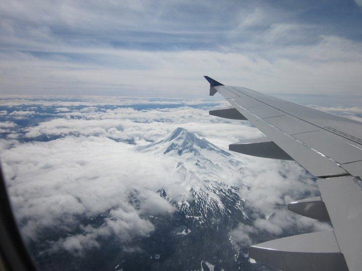
Mountain snow kept falling in many places even after precipitation switched to rain in lower elevations. Whether that continues long term remains to be seen, but the snowpack — a major driver of regional stream flows, reservoirs and water supply during the dry season — could use all the help it can get, Webb said.
“It’s still well behind normal,” Webb said. “We really only have the next month and a half as far as true snow accumulation months.”
The wet pattern should continue and help develop the snowpack at least through next week, according to the National Weather Service in Portland. That could include a significant drop in the snow level by the middle of next week, said weather service meteorologist Paul Tolleson.
The metro area will see a lot of rain in the coming days, Tolleson said. The downside: Rising streams could create minor flooding in places, he said.
Despite the deficit, Southwest Washington’s snowpack is actually in better shape than many other parts of the Northwest. Areas of western and southern Oregon are still below half or even a third of their normal snowpack for this time of year. Conditions prompted Oregon Gov. John Kitzhaber to declare a drought emergency for a handful of counties on Friday.
It’s unlikely that Southwest Washington will see any kind of severe water restrictions next summer, Webb said. But a lower-than-usual supply can have a ripple effect on regional agriculture, ecology and power generation.
The area in the best shape appears to be the Lower Snake basin of Southeast Washington, which had a snowpack measuring 95 percent of normal as of Friday, according to the Natural Resources Conservation Service.
In this part of the state, snowpack generally peaks in April, Webb said. Then the melt begins.
“We’re coming down the home stretch,” Webb said.