
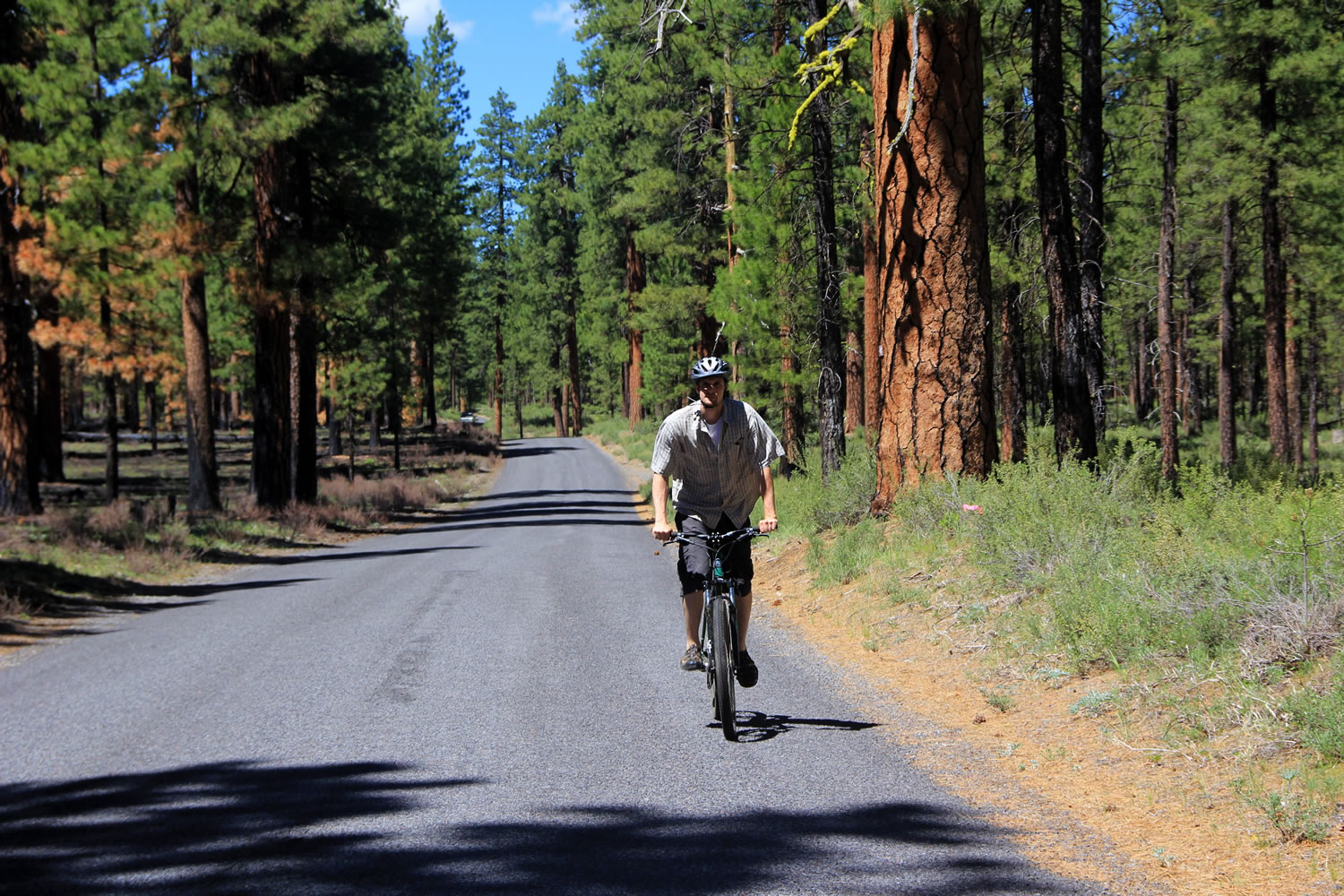
Metolius Loops Scenic Bikeway
General area: Camp Sherman (near Sisters, Ore., just across the Santiam Pass and about two hours and 15 minutes from Salem).
Fees: None.
Trail distances: 29.5 total miles on the Allingham Loop (3.3 miles), Camp Sherman Loop (4.9), River Loop (6.7) and Lower Bridge Spur (14.6).
Base camp: All rides begin and end at Camp Sherman Store.
Difficulty: Easy to moderately difficult.
Small car access: Yes.
Seasons: Spring to fall.
Place to stay: There are numerous campsites along the Metolius River, along with lodges and cabins for rent (metoliusriverlodges.com).
Kid friendly? Yes, but make sure they wear helmets.
Maps: Maps are highly recommended because the roads are not yet marked with the bike routes.
