MITCHELL, Ore. — A mile into a canoe trip on the John Day River a couple weeks ago, a wave from a Class I rapids filled our boat and made us abort the trip.
What to do as a backup plan? See the beauty of the countryside from the safety of a car, with forays to Blue Basin in John Day Fossil Beds National Monument, the Painted Hills and Sutton Mountain.
Our test float on the John Day River ended easily: Get to shore, grab the unused toilet bucket, bail the boat, then continue to a launch site where a BLM employee happened to be waiting to give a ride back to the car.
Our river sampler had been planned where a road followed the river, above the Service Creek start of a 50-mile-wild section where it would not have been easy to cancel a trip.
The obvious lesson was to have planned better, learning in advance that the river flow of 3,300 cubic feet per second was twice what most canoe paddlers are comfortable with. Short of that knowledge, deciding to get off the river in the name of safety was a no-brainer choice.
There’s not much worse than having your gear-laden canoe float to Clarno when you’re stuck on the bank at Twickenham.
The John Day River flows 281 miles from its headwaters in the Strawberry Mountains of east-central Oregon, to where it joins the Columbia River near Rufus. That makes it the second-longest river entirely in Oregon, behind the 300 miles of the Willamette.
The John Day carries added cachet, however, by being one of the longest undammed rivers in the West, though its final few miles back up behind the John Day Dam on the Columbia River.
The free-flowing nature, with much of its flow dependent on spring snow melt, combines with an intense summer irrigation season to give the John Day a short river running season. Wait too long and the water becomes so low you can walk across parts of the river in August, barely getting wet.
The spring river running season comes at the showiest time of year, when canyon hillsides along the river’s middle stretch, in Grant, Wheeler, Jefferson and Wasco counties, carry a verdant carpet of green and accented by blooming wildflowers, before hillsides brown out with summer’s heat.
After retreating for a night at River Bend Motel in Spray to dry out, we set out exploring the John Day River country by car, instead of canoe, the next day.
According to an on-going promotion by Travel Oregon, the state’s official tourism agency, this part of the state is one of the 7 Wonders of Oregon. The Painted Hills are listed as that wonder, but those dazzling hillsides near Mitchell are relatively small, take but only a couple hours to visit and leave you hungry for more.
Three good options
Human improvements on the land have had a light impact. And what’s there adds to the Western ranch scenery that makes this another of Oregon’s many visually pleasing settings. The lack of public land does make it more difficult, however, if the goal is camping or hiking, thus the popularity of boating the river to reach BLM parcels not accessible by vehicles.
Car-based explorations mainly focus on the Sheep Rock and Painted Hills Units of the John Day Fossil Beds National Monument. Sutton Mountain, the eastern backdrop of the Painted Hills, is another public land option, though an absence of trails and protection as a wilderness study area keeps casual explorers at bay. Those three destinations, along with a drive-by visit of Steins Pillar in the Ochoco National Forest, occupied our time after we learned a lesson on the river.
Here are highlights:
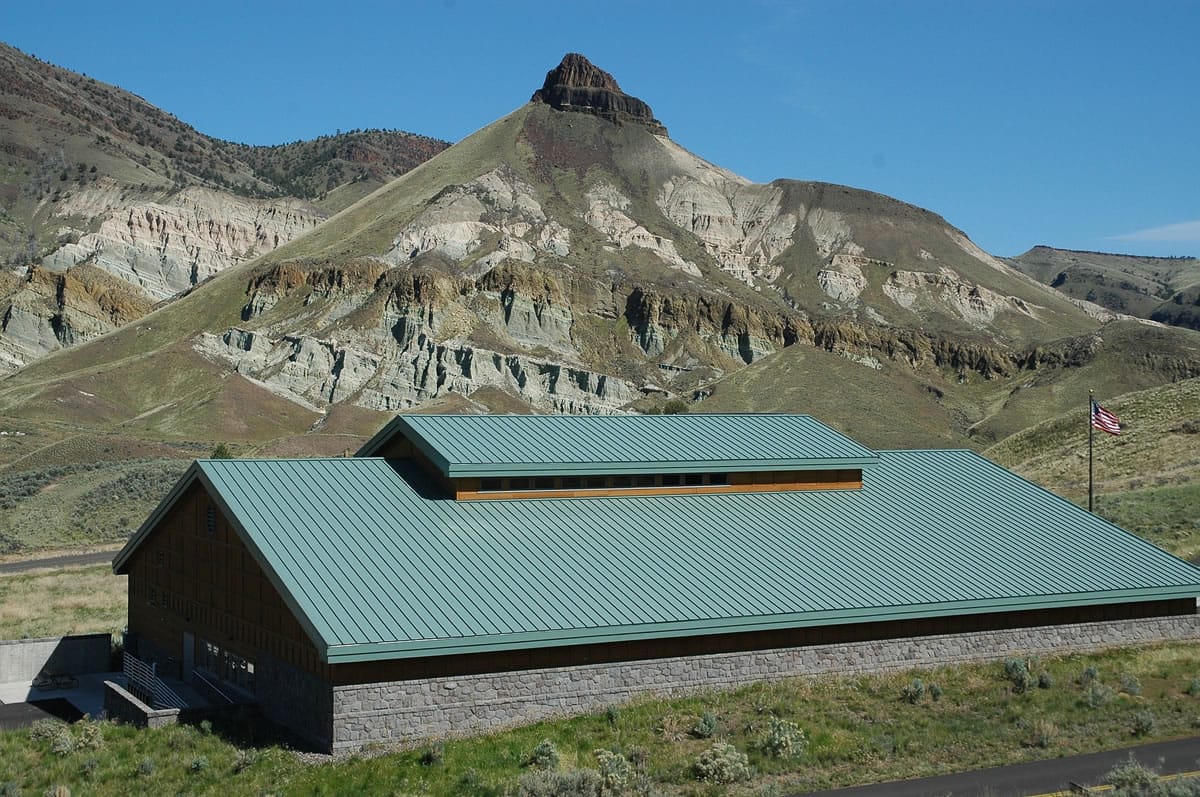
Sheep Rock: Plan for a full day to hike the short trails and to visit the Thomas Condon Paleontology Center at the headquarters unit of the John Day Fossil Beds National Monument, located on Oregon 19 about 40 miles west of John Day. A 3.25-mile hiking loop of Blue Basin is the longest trail, but short paths at Foree and Cant Ranch are also worth exploring. The visitor center has several outstanding dioramas of what the flora and fauna may have looked like 40 million years ago during the age of mammals, whose fossilized remains led to creation of the monument after their discovery in the 1870s.
Painted Hills: This unit, six miles northwest of Mitchell on a county road, has about two miles of trail total in five visitor areas. The main attraction is simply looking at the beauty of the colors of clay in the hillsides. Colors are at their best with some moisture in the soil (say, after a thunderstorm) and in late afternoon/early evening light.
Sutton Mountain: With nearly 30,000 acres of undeveloped public land, this 4,300-foot uplift just east of the Painted Hills invites wandering. The easiest route to the top is to follow an old Jeep road for three miles. Find the beginning along Oregon 207, just north of mile marker 15 on the road’s west side. A sign marks the entry to public land.
Steins Pillar: This 350-foot high stone pillar rises above Mill Creek, nine miles east of Prineville on U.S. 26, then eight miles north on a county road. The U.S. Forest Service marks a viewpoint along Mill Creek Road and also the route to a trailhead for a two-mile one-way hike to the pillar.
Camping and lodging opportunities in this part of Oregon are few and far between, so having all the gear you would use on a river trip can come in handy along the road. The National Park Service has updated its “John Day Regional Map, camping, services,” with 29 places listed, though they cover hundreds of square miles between Ukiah, Prairie City, Prineville and Fossil.
Actually, that’s what many visitors enjoy most about the John Day River country, that wide-open space and light human footprint on a visually appealing landscape.