SEATTLE — Seismic signals showed there were two major slides about four minutes apart during Saturday’s disaster in Washington state, and afterward smaller slides continued for days, University of Washington researchers said.
A report on the landslide readings was sent to the U.S. Geological Survey and posted Wednesday on the Pacific Northwest Seismic Network blog by Kate Allstadt, a university researcher.
The “very rapid and energetic” event was detected on 17 seismic stations ranging from 7 to 170 miles away.
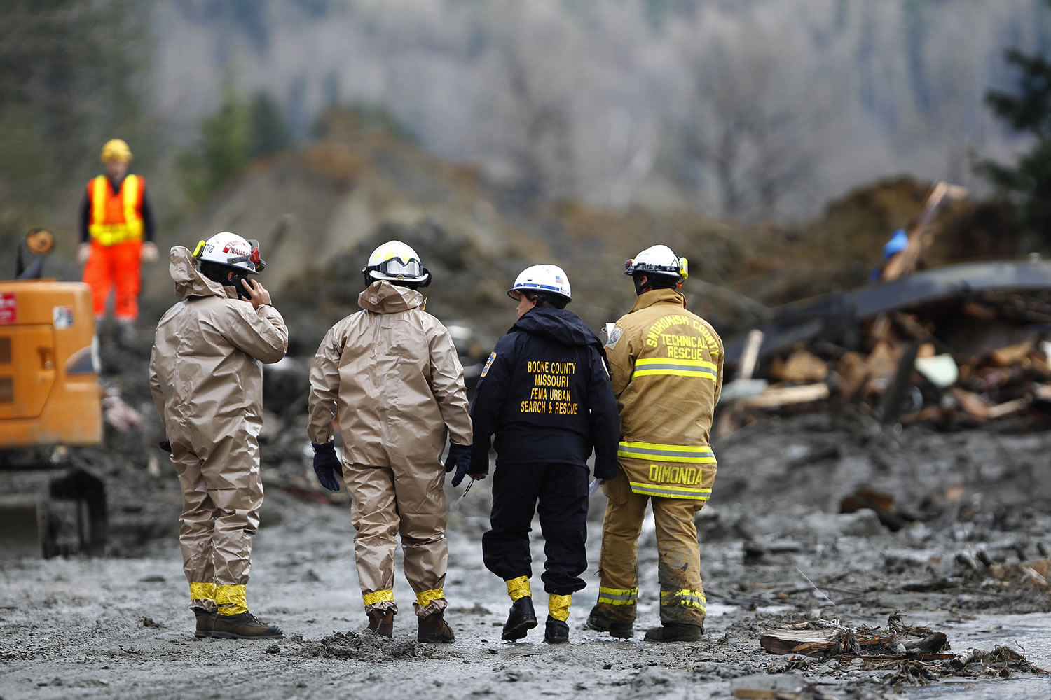
They showed the biggest slide started at 10:37 a.m. and lasted more than two minutes. This is the slide that crossed the North Fork Stillaguamish River and hit the community of Oso, killing at least 25 people
“The big pulse was the main volume of material that broke down from the slope and tumbled down toward that valley,” said Bill Steele, the seismology lab coordinator and spokesman for the seismic network.
“Another big pulse followed that, breaking loose another section of unstable slope,” he said.
The second slide at 10:41 a.m. was material breaking off the steep cliff created by the first slide, Allstadt said Thursday. Smaller slides continued for an hour and occasionally for days later, similar to earthquake aftershocks.
The landslide moved with surprising speed, said Ralph Haugerud, a USGS research geologist at the University of Washington.
“Not very many move this fast,” he said Thursday. Typical landslides in the Stillaguamish Valley “crept down the hill.”
The vibration of falling can cause a landslide to turn into a debris flow that moves like water.
“My hunch is the slide may have dropped farther than many, and as it did it liquefied,” Haugerud said.
The study of seismic signals showed no earthquake triggered the slide, Allstadt said.
The closest quake was a magnitude 1.1 on March 10. That would have been too weak to lead to a slide, Allstadt said. There have been eight such quakes in the Oso area in the past year.
The tiny tremor was insignificant to the forces of the river and gravity working on the unstable hillside, Steele said. Layers of clay in the hillside collect rainwater, creating a lubricated surface that easily gives way.
“This area is glacial moraine and sandy outwash — very unstable soil being cut by a very active river moving around in the channel,” Steele said.
However, it’s possible the 1.1 tremor was related to some movement in the hillside.
“It could have been an indication of something moving within that slope,” Steele said.
That points to the new area of research called landslide seismology that Allstadt is pursuing.
Landslides are harder to study than earthquakes because the signals are less clear and don’t travel as far, said Allstadt, who used seismology tools to research landslides for her doctorate.
She plans more research that eventually could lead to monitoring that will indicate when slopes are becoming unstable.