Mount St. Helens-Upper North Lewis River
Ape Cave — The longest lava tube in the continental United States is always good for visit. Follow Gifford Pinchot road No. 83 for 1.7 miles then take a left on road No. 8303 for 1 mile to the parking lot.
Most visitors hike from the main entrance down the lower cave to a dead end and then return. It takes about an hour to go the 1.5 miles down and back. The cave is cold inside, so be prepared. Also, bring two sources of dependable light. This is a Northwest Forest Pass site. A day pass can be purchased on site for $5. (Easy)
Lava Canyon — Lava Canyon is the destination at the end of Gifford Pinchot road No. 83. A mudflow from the eruption in May 1980 scoured the canyon. The crystal-clear Muddy River twists and turns and plunges over waterfalls here, the best location on the south side of the peak.
Lava Canyon trail No. 184 starts here at elevation 2,778 feet and drops 3 miles and 1,044 feet to the lower trailhead. It’s a great hike full of waterfalls, a suspension bridge, an odd rock formation and a 31-rung steel ladder.
By using trails No. 184 and No. 184A, there’s a 1.3-mile loop.
This is a Northwest Forest Pass site. A day pass can be purchased on site for $5. (Moderate to strenuous)
Lewis River trail No. 31 — This is one of the better hikes in the Gifford Pinchot National Forest. There’s a 9.85-mile stretch between road No. 9039 and road No. 90 that winds along the gorgeous upper North Fork of the Lewis River for 7 miles, then climbs to viewpoint before dropping back to the river and trailhead. (Strenuous)
More popular are the 3 miles heading upstream from Lower Falls Recreation Area, where a hiker can enjoy Lower, Middle, Upper and Taidanapam falls. (Moderate)
Cedar Flats Natural Area — An easy 1-mile stroll through huge western red cedars, western hemlocks and Douglas firs is available along the Cedar Flats trail. The 112-acre research natural area was set aside in 1946. To find the trailhead, drive on road No. 25 for 3.9 miles beyond the junction with road No. 90 at Pine Creek Work Center.
The loop is best hiked counterclockwise for a bit more views of Muddy River. (Easy)
Lower Falls Recreation Area — This is the place to camp if planning an overnight stay in the upper North Fork of the Lewis River drainage.
The campground has 43 standard site suitable for tents and RVs up to 60 feet in length. The sites have tables and fire rings. There is potable water.
A site costs $15 per night, with double sites costing $30. No reservations are taken, this is a first-come spot. The roar from Lower Falls reverberates through the campground and Lewis River trail No. 31 heads both upstream and down.
Wind River valley
Falls Creek Falls — The 1.7 miles up Falls Creek Falls trail No. 152A is the most popular day hike in the Wind River valley. It’s little wonder. The three-tiered, 250-foot cataract is brimming with snowmelt at this time of year.
To get there, take Wind River road No. 30 north just beyond Carson National Fish Hatchery to the junction with Forest Service road No. 3062. Turn on road No. 3062 and go 2.1 miles to the junction with road No. 057. Go right on road No. 057 to the trailhead. (Moderate)
Whistle Punk loop — Whistle Punk trail No. 59 wanders through a long-ago railroad logging site, passing remnants of timber-harvesting equipment and cables from the 1920s.
Take the 1.55-mile, loop, which includes a boardwalk through a wetland. It’s flat, pleasant little walk that largely follows a 1913 railroad grade.
To find the trailhead, go the junction of the Wind River Highway and Hemlock Road at the community of Stabler. Turn west on to Hemlock Road and go 1.3 miles just beyond the Wind River Work Center. Turn right on road No. 43 at Hemlock Recreation Site and go 0.6 miles to the junction with road No. 4300417.
Turn right on to No. 417 and follow it 0.4 miles to the trailhead, which includes a restroom and picnic table.
This is a Northwest Forest Pass site. (Easy)
Panther Creek Falls — It only takes a few minutes to enjoy Panther Creek Falls. But it’s not the easy spot to find, even though the falls are very close to Pinchot road No. 65.
To find the falls, drive up Wind River Highway 6 miles to the upper junction with Old State Road, then turn right and make a quick left on Panther Creek road. Drive up Panther Creek road for 7.4 miles to a wide spot on the right and park. Walk down the road 30 yards to a short Panther Creek Falls trial No. 137 that drops to a viewing platform. (Easy)
Beaver-Panther Creek-Paradise Creek campgrounds — All three are open this weekend. All three are at low elevations in forested settings.
Beaver is along Wind River. A single site is $20 per night. About 60 percent of the 24 sites are reservable by calling 1-877-444-6777 or online at www.recreation.gov. Beaver has a swing set, an open play area and is 12 miles north of Carson.
Panther Creek camp is along Panther Creek. It costs $18 per night for a single site. It is 8 miles north of Carson. Thirty-three of the sites were enlarged and improved in a 2010 makeover.
Paradise Creek is farther up road No. 30. It has 42 sites with 60 percent reservable. The cost $18 for a single site and $34 for a multi-site. Being a little deeper in the woods, this camp offers more solitude. About 60 percent of the sites are reservable.
Mount Adams
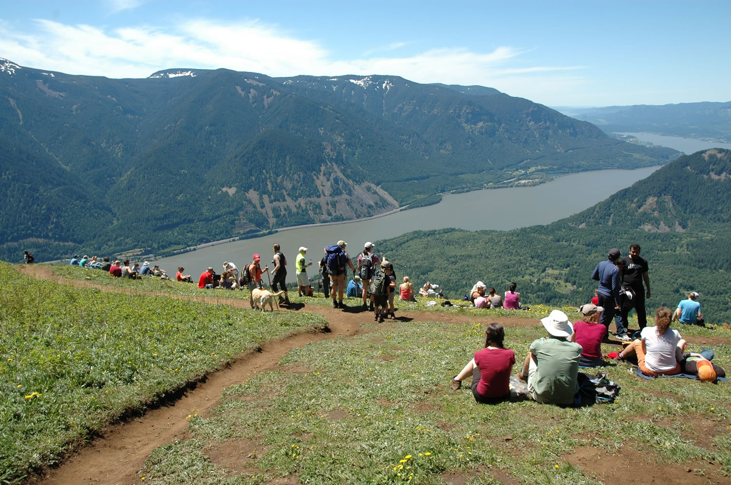
Dog Mountain — The climb to the wildflower-studded summit of Dog Mountain is the quintessential Memorial Day hike in the Columbia River Gorge.
The trailhead is at milepost 53 on state Highway 14. Expect a crowd on Dog Mountain and Augspurger Mountain trails, which can be combined to make a loop trip.
The display of arrowleaf balsam root, lupine and other wildflowers normally peaks between about Memorial Day and mid-June. The trails will be very crowded, as will parking. (Strenuous)
This is a Northwest Forest Pass site ($5 day or $30 season).
South Prairie — On Pinchot road No. 66 north of Willard, South Prairie is a lake in late winter and spring, then drains quickly to form a large dry meadow in summer and fall.
It is believed that ice dams form in the lava beneath and adjacent to South Prairie and when the ice melts the lake drains.
For more about South Prairie, watch this Oregon Public Broadcasting program: http://www.opb.org/television/programs/ofg/segment/disappearing-lake/. (Easy)
Ice Cave — The Ice Cave is 6 miles from Trout Lake. Follow Highway 141 and Gifford Pinchot road No. 24 from Trout Lake to road No. 2400031, then turn left and drive to the picnic area.
A stairwell lead down into the cave. Interpretative signs explain the history and geology of the cave. A Northwest Forest Pass is needed here. (Easy)