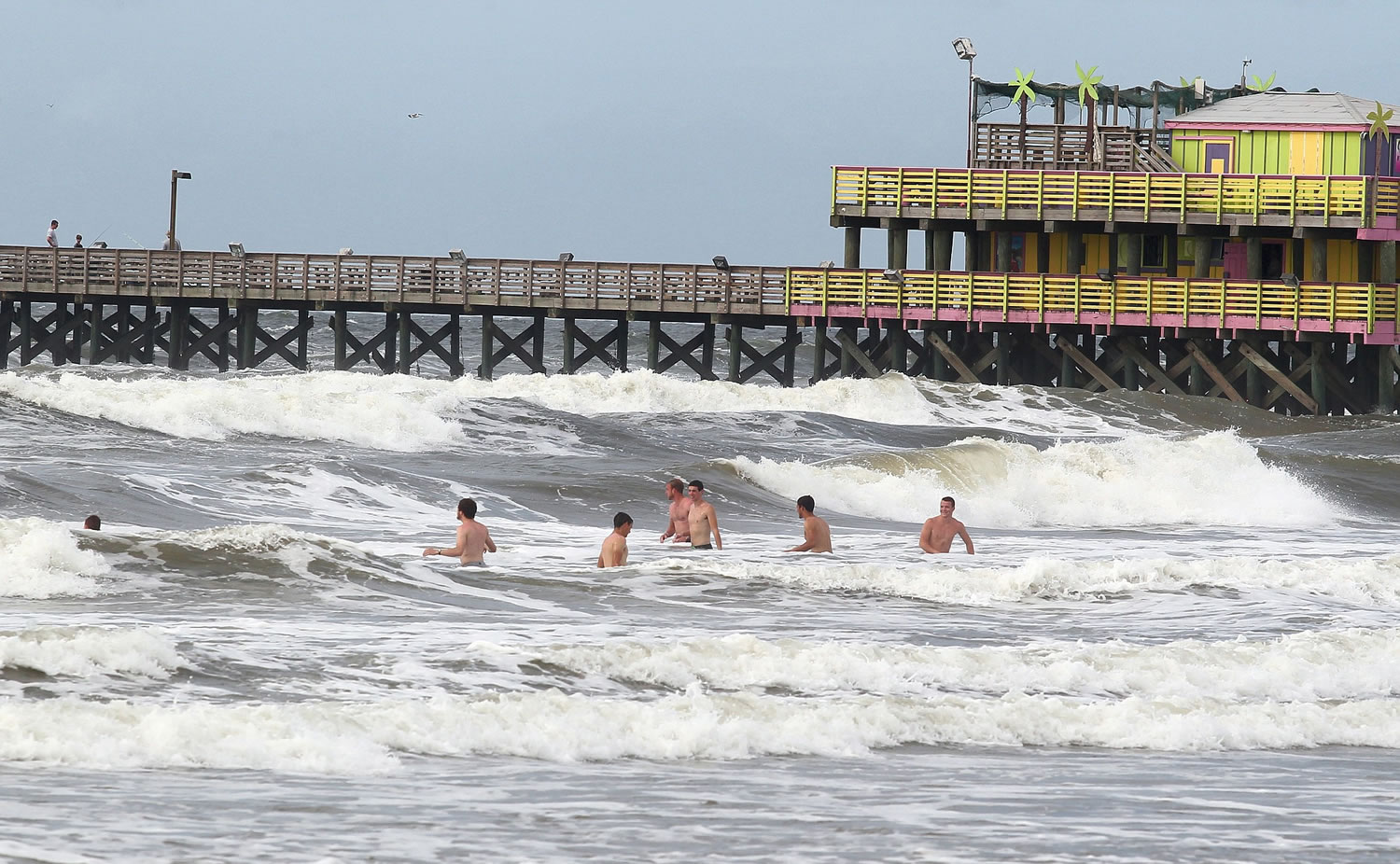
DALLAS — The historic rainfall that inundated Texas in May continues to leave the soil saturated and rivers engorged, but a scientist involved in a NASA-funded research project says it also could strengthen a storm moving inland from the Gulf of Mexico.
A broad area of low pressure that developed near the Yucatan Peninsula could brew nasty weather along the Texas and Louisiana coasts and inland. These low-pressure systems can become tropical storms that gather power from the warm waters of the ocean, and then weaken once they move over land.
But the research has found some storms can actually strengthen over land by drawing from the evaporation of abundant soil moisture, a phenomenon known as the “brown ocean” effect, according to Marshall Shepherd, director of atmospheric sciences at the University of Georgia.
“All the things a hurricane likes over the ocean is what we have over land right now,” said Shepherd, one of the principals who conducted the research.
Memorial Day weekend storms brought widespread flooding to Oklahoma and Texas, killing more than 30 people. At one point last month, 11 inches of rain fell in some parts of the Houston area, resulting in flooding that damaged thousands of homes and other structures and forced motorists to abandon at least 2,500 vehicles across Houston.
More than 10 inches of rain fell over a 30-day period across nearly the entire central and eastern portions of Texas — from the Panhandle south to the Mexico border. Isolated areas received 15 to more than 20 inches.
But the storm system in the Gulf starting Tuesday could bring five-day rainfall totals of nearly 9 inches in North Texas, up to 9 inches in Arkansas and Oklahoma, and more than 7 in Missouri, according to projections by the National Weather Service.
Meteorologist Kurt Van Speybroeck, meteorologist for the weather service in Fort Worth, said some parts of East Texas and Oklahoma could receive 10 to 15 inches. Flash flood warnings were issued for many areas.
“If we get that much rain in that time there’s probably going to be a resurgence of flooding along these rivers,” he said.
On Monday, portions of the Red River were near or above flood stage as it runs between Oklahoma and Texas and then extends into Louisiana. Meanwhile, the Trinity River was above flood stage in many areas of East Texas.
NWS meteorologist Pete Snyder in Tulsa, Oklahoma, said flash and river flooding are both concerns but that it’s too early to tell what parts of Oklahoma could be hardest hit. Lake levels across Oklahoma remain high from May rainfall, which has forecasters watching rivers in Arkansas ahead of the tropical system.
“We have had time to recover but not a whole lot,” said NWS hydrologist Tabitha Clarke in North Little Rock, Arkansas. “(The tropical system) is going over areas that are already sensitive, and 6 inches is a lot of rain anyway. It’s kind of a perfect storm — there are a lot of things lining up.”
Emergency management officials in Galveston County, Texas, weren’t waiting to see if the Gulf storm would grow to become Tropical Storm Bill and on Monday issued a voluntary evacuation of the Bolivar Peninsula. Most structures on Bolivar were wiped out in Hurricane Ike in 2008.
Shepherd said it won’t be immediately known if the brown ocean effect holds true for this storm — but an indicator will be whether it forms an eye while well inland. The NASA-sponsored research showed that of 227 inland tropical storms from 1979 to 2008 that were reviewed, 182 weakened and died but 45 either maintained or gained strength. He cautioned that often it’s not the larger category storms that produce the most rainfall, but instead smaller tropical storms.
Francisco Sanchez, spokesman for the Harris County homeland security and emergency management office, said crews were continuing to work Monday to remove debris from bayous so that water could flow more freely and not build up when heavy rains return. And the county’s emergency operations center was activated, he said.
“We have faced a significant amount of activations, more than we usually do in such a condensed time frame,” he said.


