Efforts to revamp more than a dozen routes in C-Tran’s bus system continued with a public meeting Tuesday on the sweeping changes, and much of the comment revolved around ensuring continued access for the elderly and disabled.
C-Tran’s staff has worked on the changes for months, held multiple public meetings and fielded hundreds of comments on the changes.
“It’s been about 10 years, close to 10 years, since C-Tran has taken this comprehensive of a look and made anything that would come close to this level of a service change,” said Scott Patterson, C-Tran’s director of planning and development.
Some of the largest proposed changes would affect the Fruit Valley area. Agency senior planner Roger Hanson said staff is trying to connect the area directly with grocery shopping and address scheduling and connection problems with the current Route 25.
“What we came up with was a Route 6 that would connect Fruit Valley along Fourth Plain all the way, making a stop at the VA, and continuing until it turned down Grand to go down to the Grand Central Fred Meyer,” Hanson said. “What this allows us to do is operate this route in an hourly fashion, and we can run it every 30 minutes when demand warrants.”
The new Route 6 would loop through Fruit Valley and head east on Fourth Plain Boulevard, south on Grand Boulevard to the Washington State Department of Transportation Park & Ride stop on Columbia House Boulevard.
Route 6, along with others, would replace Route 3, which rings the city center and which Hanson said is largely inefficient.
Route 25 would circle the county buildings downtown at its easternmost end, then go along St. Johns and St. James roads up to 99th Street and the 99th Street Transit Center.
Under the proposal, Routes 30, 32, 37 and 38 would have altered loops through downtown via Washington Street. At its eastern end, Route 38 would follow Southeast 192nd Avenue and Southeast 34th Street to the Fisher’s Landing Transit Center, losing a loop around Costco.
Route 2, which runs south from the 99th Street Transit Center — past Columbia River High School, Eisenhower Elementary School and Jason Lee Middle School — to a loop in downtown Vancouver would narrow and shift west to operate on Kauffman Street.
It’s all still a proposal, and C-Tran is still accepting public feedback. The board will meet again May 10 to, barring any more changes, approve the plan.
No changes would be implemented until Sept. 4, save Route 73, which will start service once the planned new transit center at the Vancouver Mall opens.
Other proposed route changes include:
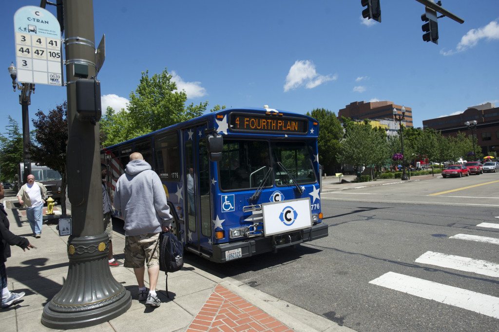
• Route 4 on Fourth Plain Boulevard from the mall through downtown Vancouver would go as far south as downtown until the Vine opens. The route currently continues from downtown through Jantzen Beach to the Delta Park MAX stop.
• Route 7 from Battle Ground would no longer serve Five Corners, but stay on Highway 503/117th Avenue to Fourth Plain Boulevard and the mall. Route 72 would be altered to serve Five Corners, but no longer operate on Fourth Plain.
• Changes to Route 19 in Salmon Creek would extend the route on Saturday, either to Washington State University Vancouver or along the west side of campus and near medical offices on 20th Avenue. Sunday service would be added to the route.
• C-Tran’s plans shift Route 39 west and into a loop in downtown via 33rd Street (passing PeaceHealth Southwest’s Memorial campus) and south on Columbia Street. At its eastern end, the route’s service south of Fourth Plain toward PeaceHealth Southwest Medical Center will end. Routes 37 and 38, which run on Mill Plain Boulevard, would still pass the hospital.
• Route 44, a limited-stop route from Delta Park along Fourth Plain out to Northeast 137th Avenue and Wade Road, would be replaced entirely. Route 74 will serve areas between Vancouver Mall and Northeast 164th Avenue. Route 4 and The Vine will pick up service westbound.
• Route 60, a new route, would connect downtown Vancouver with Jantzen Beach and Delta Park.
• Another new route, the Van Mall Loop, would circle the Vancouver Mall to provide service from the north side of the mall to the planned transit center on the mall’s south side.