JOHN DAY, Ore. — On a recent wintry evening, members of the Grant County Public Forest Commission walked into the warmth of a rustic diner and took seats at their customary table for their bimonthly meeting.
They voiced anger and frustration. At this meeting, they were officially a non-entity.
A judge this fall dissolved the commission at the behest of a former county supervisor who worried it was becoming a risk, citing the takeover of a federal wildlife refuge in a neighboring county.
While the armed occupation of the Malheur National Wildlife Refuge grabbed the world’s attention, a quieter struggle over federal lands is being waged by those trying to use elections and the levers of government. Their grandparents and great-grandparents wrested a living from the West’s rugged landscape.
But now, the forest commissioners said, the government is tightening access to the same natural resources by closing roads and curtailing logging and other industries that allowed previous generations to be self-sufficient.
The commissioners feel they lost, by the stroke of a judge’s pen, a tool voters gave them to fight back.
Kim McKrola, a local, voiced the concern of many: “I would think we should have more say, because what does the federal government know about what’s going on around here?”
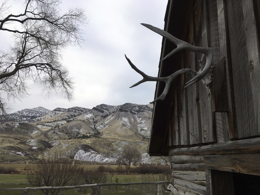
With 1,700 residents, John Day is Grant County’s biggest town, named for a fur trapper who in the early 1800s survived being robbed of everything by Native Americans but trekked with a compatriot to safety. The second longest free-flowing river in the continental United States also bears Day’s name.
Created by voters in a ballot measure 14 years ago, the forest commission was tasked with determining the fate of public lands, which comprise 66 percent of the county’s 4,529 square miles.
Hours before the meeting at the Squeeze-In Restaurant & Deck, forest commissioner Jim Sproul drove his pickup up a canyon and into the Malheur National Forest.
“My great-grandfather came here in the 1870s. He started the Humboldt Mine,” the 64-year-old said. A pin on his cap proclaimed support for Sheriff Glenn Palmer, a sympathizer of the refuge occupiers’ cause.
Sproul looked at skeletal trees killed by a 2015 fire that burned 43 homes and more than 172 square miles. He blamed the U.S. Forest Service, saying it let the forest grow too thick, allowing the blaze to crown and become a “huge fireball.” Sproul wants the agency to open more burned areas for loggers to salvage trees.
At the diner, commission members voiced more complaints.
“You’re missing the point,” growled Commissioner Mike Smith from beneath the brim of his cowboy hat. “The point is, they want to make it so you can’t make a living in rural Oregon, so you have to leave.”
Others nodded assent.
Commissioner Dave Traylor said he suspects the government and environmentalists want to create a 200-mile-wide corridor from Canada to Mexico, with only animals present and no humans. Federal officials said no such plots exist.
District Ranger Dave Halemeier noted the Forest Service has increased its transparency.
“We meet with the public before we even have an idea of what we want to do in an area,” Halemeier said in an interview. “Historically, we’d come up with a plan and then present that plan, and now the public’s involved in developing that plan.”
Malheur National Forest Supervisor Steve Beverlin said he had productive talks with a forest commissioner about modifying rules for gathering firewood, but faced hostility at commission meetings.
“It was difficult to engage because they wouldn’t share information,” Beverlin said
Mark Webb, whose petition for judicial review led to the commission’s dissolution, said he felt it was growing too close to Palmer and his “increasing belligerence toward federal government.”
Judge W.D. Cramer ruled Sept. 14 that the ballot measure that created the commission violated the U.S. and state constitutions and federal statutes.