<img height="1" width="1" style="display:none" src="https://www.facebook.com/tr?id=192888919167017&amp;ev=PageView&amp;noscript=1">
Monday, March 18, 2024
March 18, 2024

Linkedin Pinterest

Lower Columbia River Trail shifts the waters toward recreation

By , Columbian staff writer
Published:
3 Photos
On Monday, Deputy Director of the Lower Columbia Estuary Partnership Chris Hathaway, left, and Columbian reporter Dameon Pesanti kayak at the Port of Camas-Washougal, a stop on the Lower Columbia River Water Trail.
On Monday, Deputy Director of the Lower Columbia Estuary Partnership Chris Hathaway, left, and Columbian reporter Dameon Pesanti kayak at the Port of Camas-Washougal, a stop on the Lower Columbia River Water Trail. (Photos by Natalie Behring/The Columbian) Photo Gallery

When Meriwether Lewis stood near what is now Stevenson on Oct. 31, 1805, he gazed out at the Columbia River and described it in his journal as “passing with great velocity forming and boiling in a most horriable manner.” (sic)

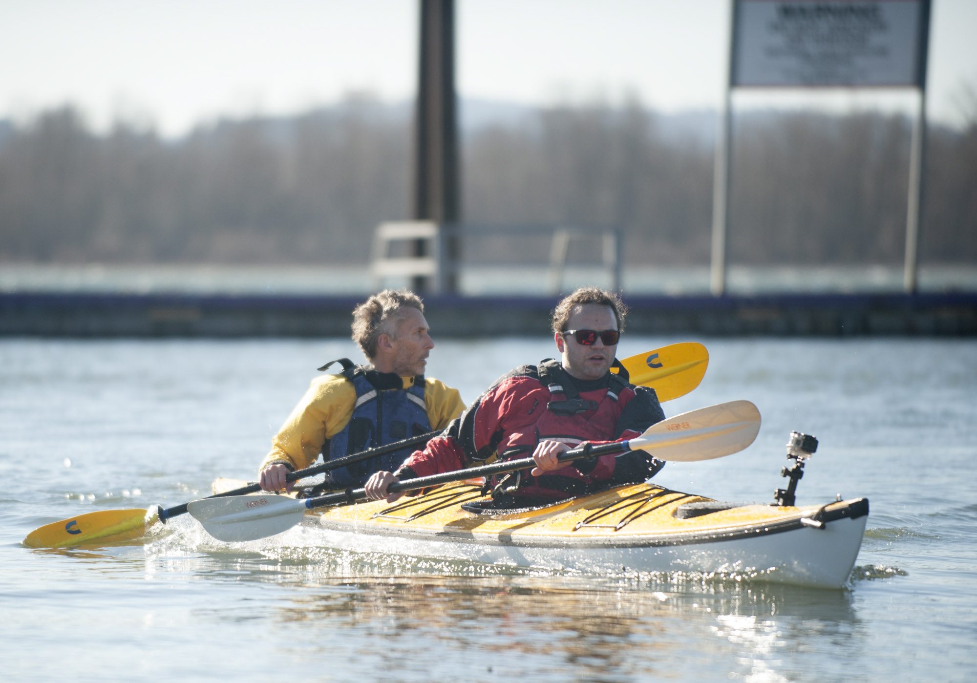
The Columbia’s wildest tendencies have long been reined in with dynamite and concrete, and humanity’s interactions with the river have changed significantly since the Lewis and Clark Expedition. Today, most residents of Clark County recognize the river for its migratory fish, power generation and shipping traffic. But, for those who share in the adventurous spirit that spurred American Expansion, the Lower Columbia River Water Trail offers an uncommon interaction with the Pacific Northwest landscape.

Over the last several years, the Lower Columbia Estuary Partnership worked with stakeholders from the Bonneville Dam to Astoria, Ore. to change the way people think about the Columbia. One way they’ve done it is by promoting and encouraging non-motorized recreation on the Columbia. Another is designing and distributing mile-marker signs for specific places along the river. Like those commonly seen along a hiking trail, they’re meant to inform recreationalists of the amenities at each location.

Estuary Partnership Deputy Director Chris Hathaway was instrumental in establishing the trail. He said the signage project evolved significantly since the concept was first proposed about four years ago, but he anticipates the final 40 signs will be placed this year.

“Even though it’s been a trail for thousands of years, people don’t think of it that way,” Hathaway said. “We’ve been trying to get people to think of it that way and see it as a recreational resource and to get people to go out there.”

The river itself is part of the Lewis and Clark National Historic Trail, but the lower Columbia River Trail was created with paddlers and non-motorized recreationalists in mind. It runs for 146 miles starting at Beacon Rock State Park and ending at Cape Disappointment.

Last Monday, Hathaway and I took advantage of the sunshine and paddled a short stretch of river from Steamboat Landing Park in Washougal to the Port of Camas-Washougal marina. It was a warm, sunny mid-morning, but wind whipped the water into rolling whitecaps. The breeze pushed us quickly downstream, but we had to fight to keep our kayak pointed straight.

“One thing about the Columbia, it’s kind of like being up on a mountain. It can go from clear and calm to stormy pretty quickly,” Hathaway said.

The Port’s marina is a popular hub for motorboats, but all that traffic can be intimidating to paddlers. As a solution, the port is installing a non-motorized access point at the Washougal Waterfront Park and Trail. Construction on the facilities began a couple weeks ago.

“We wanted to take away the danger for paddleboarders and kayakers and get them away from the marina, and make it safer for beginner and intermediate boaters,” said Angelina Aiello, community relations specialist for the port.

Seattle-based travel writer Charlotte Austin and a group of four other paddlers completed the trail in a week in October 2014. The lower Columbia, she said, could almost be broken into neighborhoods — the rocky and dramatic area below the dam, the concrete and noisy Portland-Vancouver corridor, the pastoral landscapes out west and, finally, the broad, scenic delta.

Their trip wasn’t without struggle. It rained the entire time they were out, and they had to be on constant alert for shipping traffic and other crafts. Still, they found the journey so inspiring, Austin and a few of her friends decided to spend the next few years paddling the length of the river, more than 1,200 miles.

“That was a particularly memorable trip, because you’re right there in your own backyard — a couple hundred miles as the crow flies from my own bed,” she said. “One day, my mom came down and we parked our kayaks and went to Red Lobster.”

Loading...
Columbian staff writer