In this era of hyper-partisan national politics and strained international relationships, scientists from the United State Geological Survey and their multinational colleagues are steadily building relationships through understanding the world’s volcanoes.
“We call it science diplomacy,” said John Pallister, chief of the Volcano Disaster Assistance Program at the Cascades Volcano Observatory in Vancouver.
This week, a group of about 70 researchers from more than 20 volcanically active nations are meeting with their USGS counterparts in Vancouver for the first Volcano Observatory Best Practices workshop ever held in the United States.
The workshop, all of which were previously held in Italy, will focus on the imperative of creating long-term hazard assessments for the world’s 1,550 active volcanoes. Scientists also will discuss how they’ve created hazard maps and what they’ve done to communicate the risks to people and governments living in the shadows of eruptive volcanoes.
Several of the scientists attending the workshop are members of the Volcano Disaster Assistance Program, which USGS and the U.S. Agency for International Development’s Office of U.S. Foreign Disaster Assistance established to help developing nations reduce the risk of volcanic eruptions from becoming catastrophes.
“(The assistance program) combines hard science of volcanoes with the social aspect of people,” to prevent future eruptions from resulting in a dramatic loss of life, Pallister said.
The program was created shortly after concrete-like slurries of earthen material, called a lahar, killed more than 23,000 people when the Colombian Nevado del Ruiz erupted in 1985.
Recently Pallister and his team were nominated for a Samuel J. Heyman Service to America Medal, an award called the Oscars of government service, for their work in helping developing nations build early warning systems.
Much of the research done around volcanoes started by USGS scientists began in Vancouver after the 1980 eruption of Mount St. Helens. In subsequent years, researchers have traveled the globe, sharing methods and tools for monitoring and understanding volcanoes with colleagues all over the world.
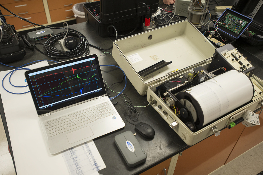
By partnering with USGS researchers, host nations with active volcanoes gain access to monitoring equipment that helps them anticipate eruptions and to plan evacuations accordingly. USGS scientists also benefit by earning behavioral patterns possibly shared by other volcanoes, both abroad and here in the Pacific Northwest. They also get to field test equipment on active sites, equipment that they can further refine at the lab in Vancouver.
“There’s a big training ground out there in the world,” said Martin LaFevers, a geophysicist and member of the assistance program.
Now a new generation of research technology, first developed in Vancouver, field tested on volcanoes around the world and then refined in labs in the Pacific Northwest will soon make its debut on the slopes of Mount Rainier, one of the tallest peaks in the continental U.S. It is considered by USGS to be one of the country’s most dangerous volcanoes because of its proximity to dense population areas.
In Vancouver, Geologist Heather Wright is working with Peruvian geologist Jessica Vela Valdez to examine the ash of the Ubinas volcano of Peru. By grinding down the ash’s surface and viewing it with an electron microscope, the duo can see what kind of activity and material was sitting below the earth’s surface.
“One ash grain provides a window to a system we can’t see at all,” Wright said.