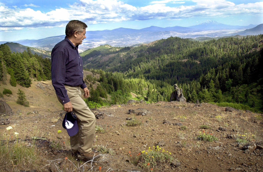
ASHLAND — A group of scientists, local leaders and Oregon’s two U.S. senators are calling for an expansion of the Cascade-Siskiyou National Monument, saying the borders drawn during its creation 16 years ago fail to protect its unique biological diversity — particularly in the face of climate change.
The current borders around the monument don’t take into account full watersheds, fail to protect the headwaters of Jenny Creek and other streams and don’t include high-elevation public lands needed for the monument’s unique flora and fauna as they react to climate change, the group said.
Supporters claim that not doing so threatens the “spectacular biological diversity” and the rare plants, animals and other “objects of interest” cited in the presidential proclamation that created the now-66,000-acre monument in 2000.
“The borders now don’t do the job that the proclamation intends,” said Dave Willis, chairman of the Soda Mountain Wilderness Council and one of the original leaders of the effort to establish the monument.
“It’s to protect the biological diversity and connectivity and make it more resilient to climate change,” Willis said.
The group has offered no specific recommended boundaries, but they said it should grow in most directions, including into California. Willis said an expansion could increase the monument by as little as 50 percent or double its size.
They cite a 2011 study by several local scientists since endorsed by dozens of others as outlining the reasons and general locations for possible expansion.
Democratic Sens. Ron Wyden and Jeff Merkley this past week formally requested that U.S. Interior Secretary Sally Jewell come to Southern Oregon and hold a public meeting to gather input on potential expansion.
Willis said the monument needed expansion for these same reasons after it was created, “so it would be good to do it sooner than later.”
“The boundaries may have looked good in 2000,” Willis said. “In 2011, (supporting scientists) said that doesn’t do the job.”
Supporters also believe they like their chances under the soon-to-be-ending Obama administration, which has supported public lands protections.
“This could be one of his last, best acts,” said Pam Marsh, an Ashland City Council member and expansion supporter.
The monument’s outer boundaries have not changed since President Bill Clinton exercised powers under the Antiquities Act to designate the monument in 2000. Originally it was about 53,000 acres within a roughly 85,000-acre footprint, with the remaining lands islands of private holdings.
Since then, willing sellers paid largely through the federal Land and Water Conservation Fund have sold about 13,000 more acres within that same footprint.
Scientists consider the monument area to be one of the most biologically diverse locations in North America, in part because it is a land bridge where four distinct ecoregions meet.
The 2011 study looked at three areas for expansion: The Rogue Valley Foothills to Plateau, which would extend north in the Cascades to include Grizzly Peak and portions of the Dead Indian Plateau; the Klamath River Ridges to the south; and the Johnson Prairie-Fall Creek expansion extending east in the Klamath Mountains.
Expansion in these areas would protect habitats such as headwaters that contribute water to the monument as well as habitat used by wintering black-tailed deer and water supporting rare foothill yellow-legged frogs.
“Complete watersheds were not protected,” said Rogue Valley Audubon ornithologist Pepper Trail, who took part in the 2011 study. “It abruptly stops at the Oregon/California border.”
One example is Jenny Creek, which meanders in and out of the monument on the Oregon side while the falls that isolates the creek’s population of redband trout is outside the monument.
Expansion into these areas would “better recognize the ecological systems” supporting what’s already in the monument, said Jack Williams, a Medford resident and senior scientist for Trout Unlimited.
“The more of the watershed that could be included in the monument boundary would benefit these fish in the long run,” Williams said.
While no exact boundaries are in the recommendation, Willis said any expansion likely would include the same ratio of public and private lands within its new footprint. As with current rules, private lands within the monument’s boarders are not subject to rules governing federally designated monuments, Willis said.
Monument lands are open to hikers, hunters, anglers and others for exploration and recreation, Willis said.
The proposal also has the formal support of the Ashland and Talent city councils as well as their chambers of commerce.
Marsh said the Ashland City Council endorsed the concept last year as a way of helping grow its tourism-based economy.


