The rain is back, in a pretty big way, and will probably continue through the week, according to forecasters at the National Weather Service in Portland.
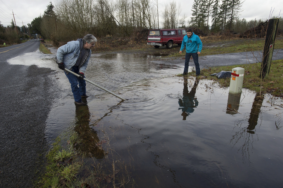
Record-setting rain fell Sunday over multiple parts of Oregon and Washington, including Vancouver. The weather service said 2.15 inches of rain fell at Pearson Field, breaking that day’s record of 1.42 inches, set in 1968.
Sunday was the fifth-wettest February day in Vancouver on record, according to the weather service.
In Oregon, rainfall records were also broken Sunday in Newport, Hillsboro, Troutdale, McMinnville, Salem, Eugene and downtown Portland, and at the Portland International Airport.
The rain eased some Monday: The 24-hour rainfall total at Pearson Field, as of 8 p.m. Monday, was 0.40 inch.
The weather service says a warm air front will approach the region from the southwest Tuesday. Although the brunt of it appears to be heading to California, part of it will spread north, bringing precipitation locally and regionally.
Tuesday’s Vancouver forecast has a 40 percent chance of rain, mainly after 10 a.m., and the day’s high temperature will be around 39 degrees. Tuesday night’s low will be around 34 degrees, with a good chance of rain before 10 p.m. and a mix of freezing rain possible for some areas.
Little to no ice accumulation is expected. Forecasters say some computer models show a slim chance for light snow Tuesday morning around and south of Portland, but probably not enough to cause significant problems. The Columbia River Gorge will likely see snow, however.
A stronger and wetter weather system is expected to impact the area Wednesday through Thursday night, and cold air in the Gorge could mean wintry weather into the western reaches of the Portland-Vancouver metro area Wednesday morning.
For Vancouver, forecasters call for 0.50 to 0.75 inch of rain Wednesday. A chance of freezing rain will threaten the Gorge through at least Wednesday night. The day’s high and nighttime low will be near 38 degrees.
It’ll rain again Thursday, the weather service said, with a high of 51 degrees. As for Thursday night, Friday and the weekend: more rain and cold.