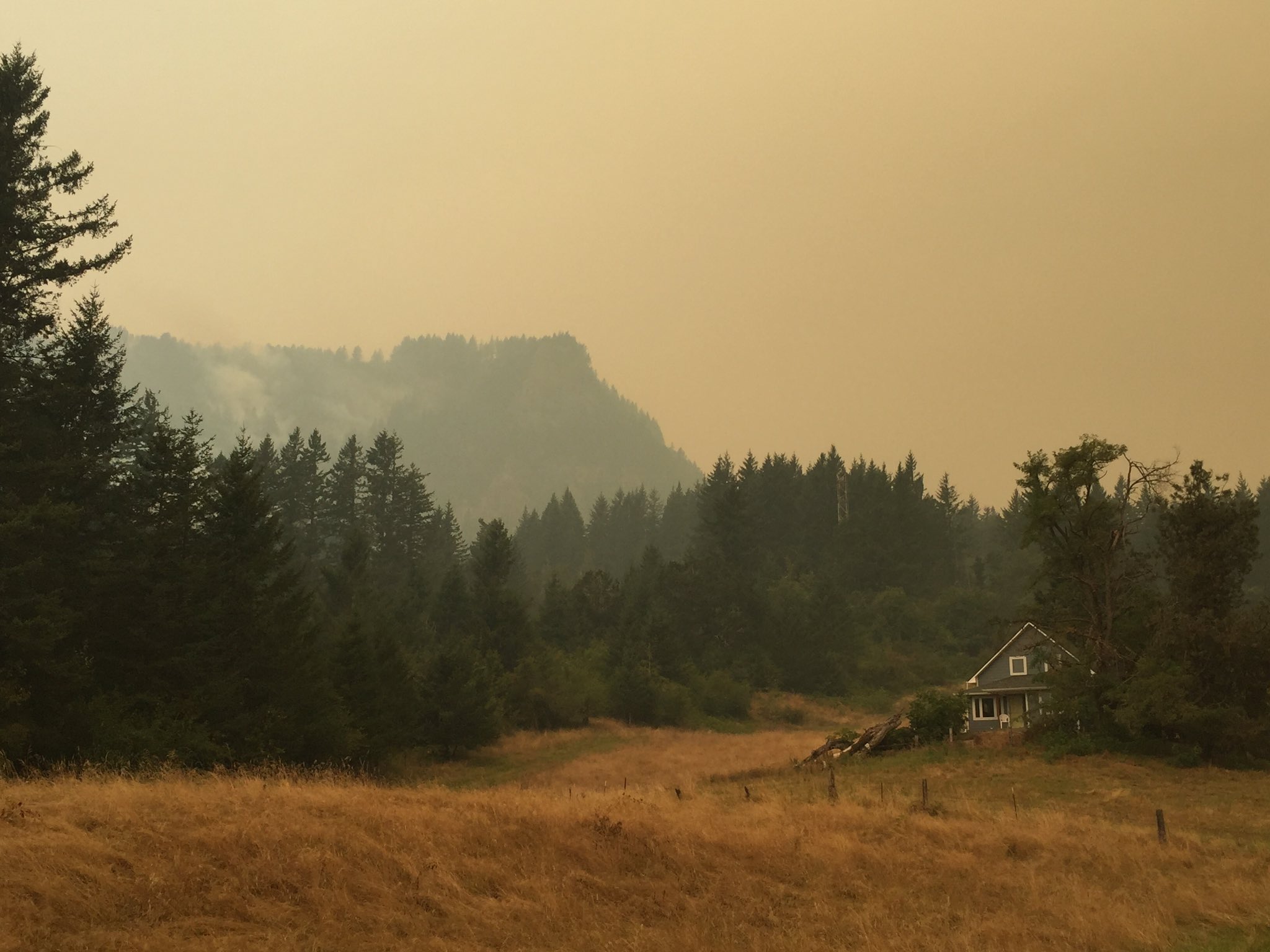
Smoke clouds the view in Skamania County off Franz Road. (Amanda Cowan/The Columbian)Photo Gallery
Forty homes were evacuated in Skamania County after the Eagle Creek Fire in Oregon apparently jumped the Columbia River and prompted evacuations.
The fire in Washington was reported about 2 a.m. Tuesday, and in a few hours had burned about 25 acres on the south side of Archer Mountain, west of Skamania and nearly directly across the Columbia River from Multnomah Falls.
The fire was zero percent contained as of early Tuesday.
In Washington, Level 3 (go now) evacuation notices were in place Tuesday night for: Archer Mountain Road, Franz Road, Smith Cripe Road, Kellet Road, Victoria Lane, McLosky Creek Road and Dimrill Dale Drive. Evacuating residents in need of a place to go may go to the Rock Creek Hegewald Center at 710 Rock Creek Drive in Stevenson.
Level 2 (be ready to go) evacuation notifications are in effect around the west end of the fire area: What Road, Hills Berry Road, Columbia Ridge Road, Mabee Mines Road, Foggy Ridge Road and Patrick Lane.
Level 1 (be aware/get ready) notices are in place for Bear Creek, Borden, Old State, Deville and Wakina roads.
The fire is burning slowly, in steep, rocky terrain and mature timber on slopes as steep as 70 to 100 percent, fire officials said.
Skamania County Undersheriff Pat Bond said Tuesday afternoon the county was waiting to see how the fire’s behavior might change to determine further evacuations west of the fire.
“We know, at least right now, it’s not coming back down toward populated areas at this point,” he said. “At this point, they think it’s staying up top, and if it goes farther north it’s going to run into some cliff faces” and other rocky terrain where it might slow down or stop.
There are no evacuation orders in place, or wildfire activity reported, in Clark County.
Between 50 and 60 firefighters from the Department of Natural Resources and local fire agencies, including three, 10-man crews from Larch Corrections Center, were fighting the fire Tuesday.
DNR spokeswoman Mary McDonald said more firefighters were on the way, but personnel are stretched thin around the region.
Morning Briefing Newsletter
Get a rundown of the latest local and regional news every Mon-Fri morning.
One helicopter worked for a time to quell the flames from the air before it was grounded for low visibility.
McDonald said thick, smoky haze has made aerial firefighting operations unsafe, which in turn has made it tough to even see the fire.
Firefighters on Tuesday were able to do some close control line building around one edge of the fire, and worked to build other, indirect lines on other sides, she said.
Evergreen Public Schools campuses will be open on Wednesday, and recesses will continue to be held indoors. Information about after-school events and activities will be announced Wednesday morning. Skamania School District 2 will be closed Wednesday. Nearly all of the scheduled outdoor sport events will be postponed. For a full list of sports postponements, click here.
The fire is north of state Highway 14 and has not closed the highway, Washington State Patrol Trooper Will Finn said. However, commercial vehicles are not allowed on the highway between Dallesport and Washougal.
McDonald said it appears the fire may have started as a spot fire, kicked up by falling, burning debris from the Eagle Creek Fire across the river, but that hasn’t been confirmed.
“Based on where it was — it was pretty high up (Archer Mountain) — that’s a likely assumption, but we haven’t been able to verify that,” she said.
A group of people playing with fireworks Saturday are thought to have sparked the Eagle Creek Fire, which trapped several dozen hikers overnight over the weekend, and has grown to more than 15 square miles, or 10,000 acres, in the Columbia River Gorge National Scenic Area.
The fire prompted the evacuations of hundreds of homes in Oregon’s Multnomah and Hood River counties.
The Oregon State Police interviewed a 15-year-old Vancouver boy who is suspected in the fire, but he had not been arrested or formally charged as of Tuesday night.
In Oregon Tuesday night, Level 3 (go now) notices were in place for Larch Mountain and the communities of Dodson, Warrendale, Latourell, Bridal Veil and East Corbett. A Level 3 notice is also in place for everything south of Interstate 84 in Cascade Locks. The Red Cross has a shelter at the Skamania County Fairgrounds, across the Columbia River in Stevenson.
Corbett and Springdale are under a Level 2 evacuation notice.A Level 1 (get ready) notice for parts of Cascade Locks — including all areas north of Wa Na Pa to the Columbia River, on the east end of town north of Interstate 84, and Forest Lane and intersecting roads east to Government Cove — was upgraded to a Level 2 notice.
An evacuation shelter was set up at Mt. Hood Community College, 3691 N.E. 17th Drive in Gresham, Ore.
Almost 460 people were working on the fire as of Tuesday night.
“It’s a fast-moving fire,” Lt. Damon Simmons of the Oregon State Fire Marshal’s office said Tuesday. “We saw fairly extreme fire behavior last night, today it’s moving along steadily.”
Rocks and rolling debris fell onto Interstate 84, prompting the highway’s closure in both directions from Troutdale to The Dalles. Eastbound traffic can take U.S. Highway 26 over Mount Hood to state Highway 35 north to I-84 at Hood River. Westbound traffic must leave the highway at Exit 62 in Hood River.
As a detour, traffic may cross the Columbia River into Washington and take Highway 14 west to I-205 and the Glenn Jackson Bridge south to Oregon. Go to TripCheck.com for the latest information.
The Coast Guard closed the Columbia River to boat traffic east of Vancouver as well, with the intention to re-assess the closure Wednesday morning.
Wednesday’s forecast for the Portland-Vancouver metro area calls for a high near 84 degrees and a 50 percent chance of showers and thunderstorms into the evening.
Winds in the Columbia River Gorge are forecast to start as heading upslope at 1 to 4 mph, becoming a westerly, 5 to 8 mph wind in the afternoon, with gusts up to 15 mph.
Tip: you can interact with this map using your
fingerscursor (or two fingers on touch screens)cursor.
Map
Two other fires are also burning in Skamania County, in the Gifford Pinchot National Forest: The East Crater Fire in the Indian Heaven Wilderness, which has burned about 1½ square miles, and the 20-acre Bear Creek Fire, burning about 8 miles north of Carson.
Neither has prompted evacuations, but officials have contacted nearby residents and closed affected areas.
The Department of Natural Resources, expanding on local restrictions, on Tuesday banned all outdoor burning on all land managed by the agency.
The DNR said agency firefighters responded to 21 new fire starts on Labor Day.
In Camas and Washougal, the fire chief prohibited all outdoor recreational burning. The ban will remain in place until a significant change in the weather. Outdoor gas and charcoal barbecues or fireplaces are not affected by this ban.