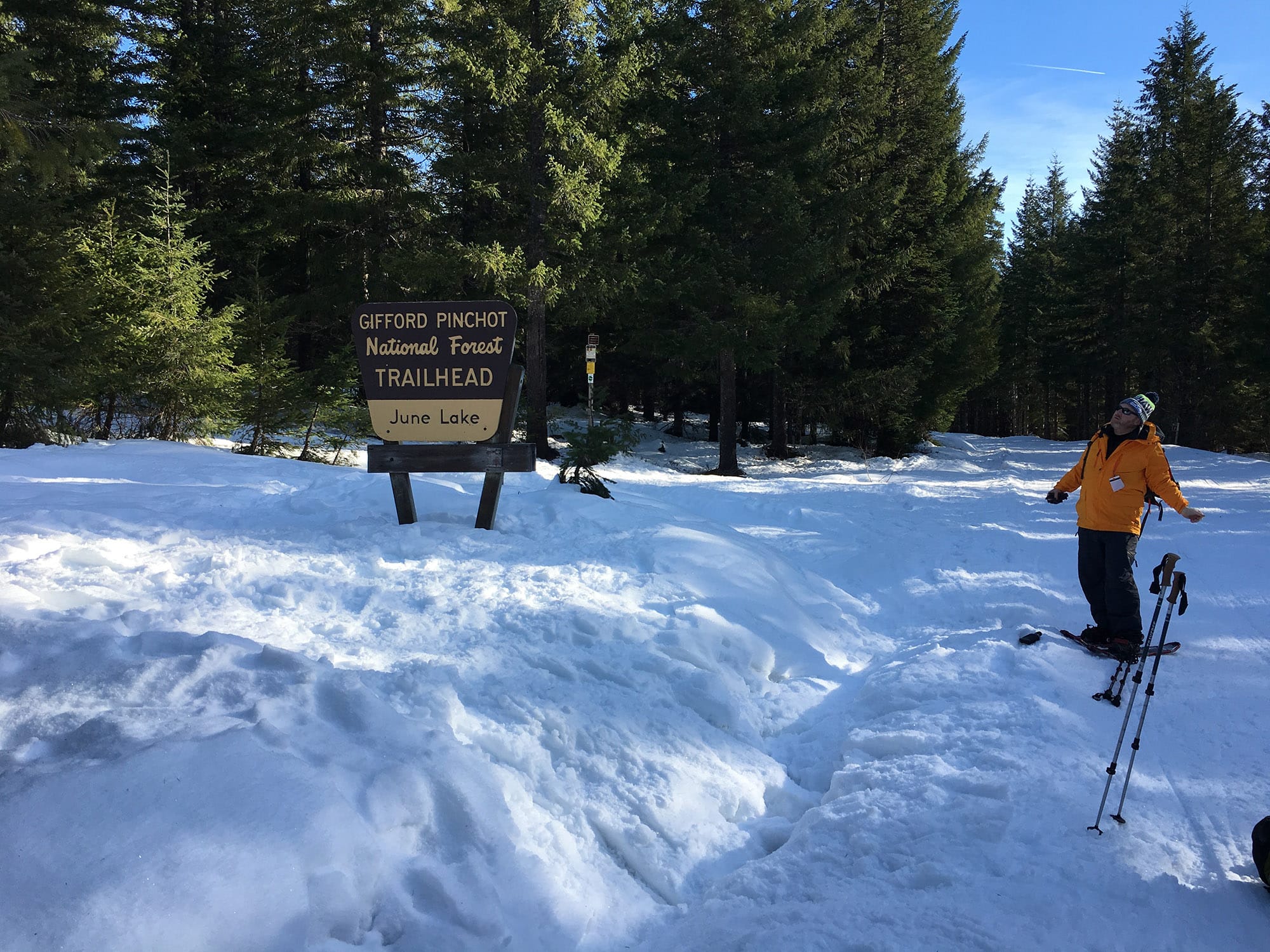
Winter recreationalists gear up for a snowshoeing trip into the woods near June Lake on the south side of Mount St. Helens in January. Snowpack levels in the Lower Columbia Basin were the lowest in the state at the time but are now at about the state average. (The Columbian files)
The Lower Columbia Basin’s snowpack is in good shape, and that means good news for the region’s spring and summer water supply.
The region has a snowpack 123 percent of normal for this time of year, according to the U.S. Department of Agriculture/National Resource Conservation Service National Water and Climate Center. That puts the local snowpack right along the state average of about 127 percent.
“The reason (for) that is because it just isn’t melting yet and we keep adding to the pack,” said Scott Pattee, a water supply specialist with the U.S. Department of Agriculture’s Natural Resources Conservation Service. “But the normal peak is April 7, I believe it was. We’re getting well past that, and we’re just starting to peak now — maybe starting to roll off the other side.”
The reason the snowpack is in such good shape is largely thanks to the “miracle March” we experienced last month, Pattee said.
Until then, La Niña kept the jet stream bent north this winter, which kept the majority of the winter storms focused on Northern Washington and Southern Canada or offshore. That’s clearly explained when looking at Washington’s regions with the greatest snowpacks: the Upper Columbia and Spokane, which have 157 percent and 140 percent of normal snowpack, respectively.
When La Niña, a cooling of water in the equatorial Pacific that affects global weather patterns, let up, that’s when the snow came to the rest of the state.
“That’s what allowed the storms from fronts to come onshore like they would, it was pushing the storms north while Northern Washington was getting all that snow and Oregon was so dismal,” Pattee said.
Judging by snow accumulation, winter came a little late to Southwest Washington. At the start of the year, the region’s snowpack was around 30 percent below normal for that time of year. In fact, January was one of the warmest on record in Vancouver. Those warm temperatures kept the snowline confined to the higher elevations of the Southwest Cascades. It wasn’t until the end of February, when Winter Storm Oliver clobbered the United States, that snow levels dropped and the flakes began to accumulate.
Washington water watchers, particularly farmers, fishery managers and municipal governments, were initially somewhat concerned with low snowpack levels in the Lower Yakima and Lower Snake River basins, but now the entire state is in good shape.
However, Oregon wasn’t so fortunate. The northern edge of the state is at or near normal snowpack levels, but the majority of the regions are in the 60 percent levels or less. The Owyhee region in the southeastern part of the state has only 34 percent of normal snow levels.
Morning Briefing Newsletter
Get a rundown of the latest local and regional news every Mon-Fri morning.