Wet but warm weather has resulted in a lower-than-average snowpack for Southwest Washington up to this point in winter, though forecasters say conditions could improve over the next few months.
The Portland office of the U.S. Department of Agriculture’s National Water and Climate Center reports the Lower Columbia River Basin has 70 percent of its normal snowpack, currently the lowest in Washington.
But most of the state is below normal. Only three basins in the state — Olympic, North Puget Sound and the Upper Columbia — are at least 90 percent of average.
“Blame it on La Niña,” said Scott Pattee, a water supply specialist with the Natural Resources Conservation Service.
Most of the Western United States’ storm surges come from the southwest. When the storm fronts crash into the jet stream the warm, wet air cools and the snow begins to fly. However, La Niña is a warm and wet weather pattern that typically pushes the jet stream to the north, with warm air following along. Pattee said that’s why the northern reaches of Washington currently have great snowpacks, but everywhere else is lagging.
Although January has been a little dry across the state, water year precipitation levels are at or above normal across the entire state. But that moisture has fallen as rain rather than snow.
“We’re hoping La Niña starts breaking down; most typically it does in January,” Pattee said. “The three-month forecast is wetter than normal, but cooler than normal.”
While Washington is dry, it’s in a better position than many of its neighbors.
States across the Western U.S. are seeing snowpack levels far below expectations. Oregon’s average is less than half of normal for this time of year. California has less than 50 percent of average. The state of Colorado is reporting snowpack levels are their lowest in at least 30 years.
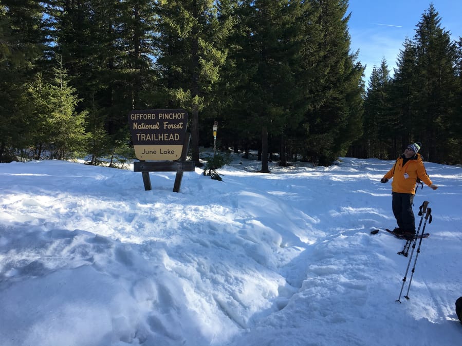
Mountain snowpacks are needed for winter recreation such as skiing and snowmobiling, but later in the year they’re critical for replenishing water supplies, keeping habitat cool for migratory fish and staving off wildfires.