
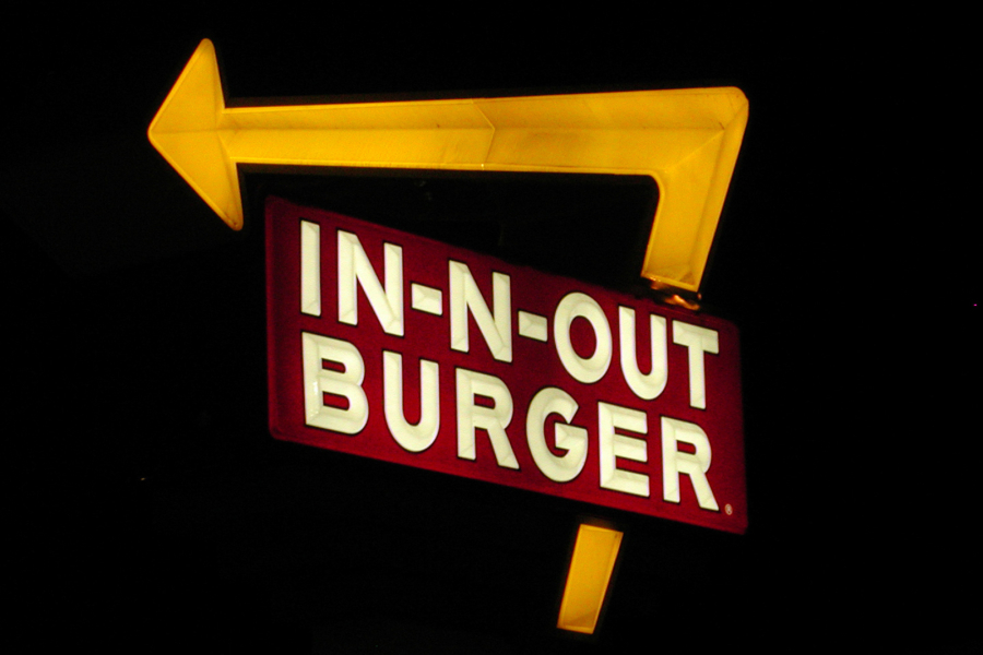
California fast-food chain In-N-Out has proposed a second restaurant in Clark County — this one at 13511 S.E. Third Way in east Vancouver, according to…
After a series of lower-paying jobs, Nicole Slemp finally landed one she loved. She was a secretary for Washington’s child services department, a job that…
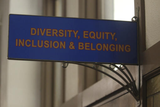
A conservative quest to limit diversity, equity and inclusion initiatives is gaining momentum in state capitals and college governing boards, with officials in about one-third…
As a Battle Ground native, James Ensley takes pride in returning to a place that impacted him not just in athletics, but why he became…

Conservative Supreme Court justices appeared skeptical Wednesday that state abortion bans taking effect after their sweeping ruling overturning Roe v. Wade violate federal healthcare law, though some…
Two more automobile dealerships, with a single owner, are in the works off Southeast Mill Plain Boulevard in east Vancouver. They are the third and…
Help make a difference. Get involved in the Clark County community.
The day’s top stories delivered right to your inbox!
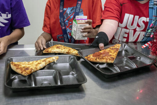
The nation’s school meals will get a makeover under new nutrition standards that limit added sugars for the first time, the U.S. Department of Agriculture…
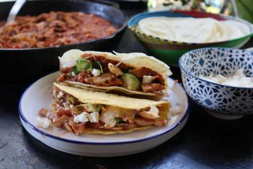
I love tacos when I’m cooking for a crowd because they’re usually so much easier to pull together than a sit-down dinner with multiple courses,…

About one-quarter of U.S. adults age 50 and older who are not yet retired say they expect to never retire and 70 percent are concerned…
We'll be in touch if we look into your question.
Thanks for submitting your Clark Asks question. If we're able to investigate it further, we'll get in touch with you. Feel free to encourage your friends to ask questions, too!