LONGVIEW — Scientists have released the first results of a pioneering, $3 million study of the plumbing below Mount St. Helens, and they shed light on how the volcano may have erupted in 1980.
The study has found three more magma chambers, or reservoirs, below and east of the peak. Scientists before had only been able to confirm one immediately below the crater, though they had suspected the existence of the others.
The findings, released Tuesday, show the volcano’s plumbing system is far more complex than geologists thought and that the molten rock that fueled the 1980 explosion may have come from much deeper underground. And it didn’t have a straight path to the surface.
Instead, as earthquakes cracked solid rocks, the magma may have twisted and turned between three different pools of magma.
So far, researchers think they’ve identified four magma chambers in the vicinity of the summit: the previously known small chamber right beneath the crater; two chambers 3 to 8 miles below sea level; and one larger chamber 9 to 25 miles below sea level that extends as far east as the Indian Heaven Wilderness. Researchers said there’s still no evidence yet that the big pool of molten rock fuels other volcanoes, such as Mount Adams or Mount Rainier.
Three of the chambers appear to be connected, though, because earthquakes that occurred before and during the 1980 eruption moved up along the edge of the biggest magma chamber and into the upper chamber below the mountain, Rice University geophysicist Alan Levander said. This understanding could help scientists better track rising magma the next time the volcano acts up.
“If the mountain ever wakes up again, we could put out more informative statements about why things are happening,” U.S. Geological Survey researcher Seth Moran, a collaborator on the project, told The Daily News on Thursday.
Results of the study were released by Levander in Baltimore at a meeting of the Geological Society of America.
He presented the first images of a study launched last fall to map the underground terrain under the volcano.
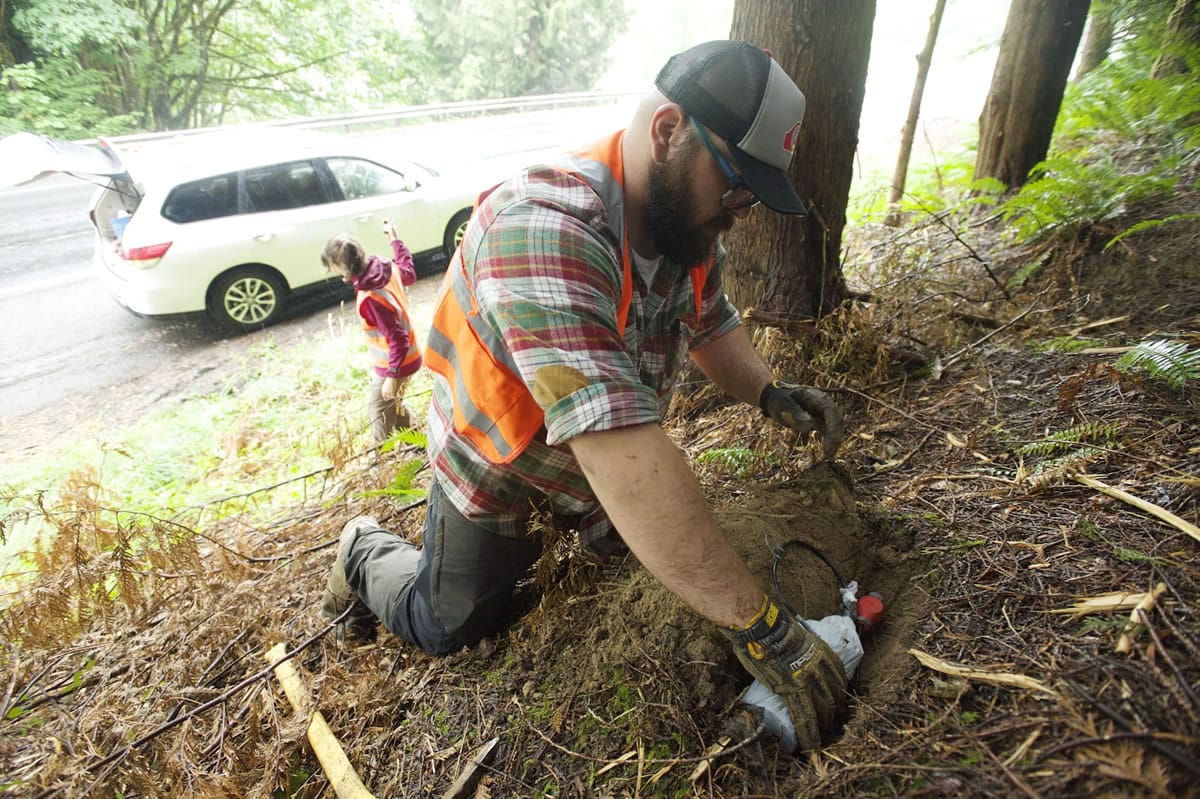
Part of the study involved detonating 23 explosive shots around the mountain, then tracking how the shock waves traveled through the earth. Because one type of seismic waves moves more slowly through liquid than solid rock, scientists could map the suspected pockets of molten rock.
The study, led by a team of government and university researchers, is known by its acronym, iMUSH, for “imaging magma under St. Helens.” Levander called iMUSH the first “really modern experiment in the Cascades.”
“A group of us were talking about (how) the internal plumbing of volcanic systems isn’t well known,” Levander said. “It has implications for all sorts of things because ultimately all of the Earth’s crust was made by this process.”
Moran said earlier imaging attempts could only “see” about 6 miles down.
“Those didn’t really find much evidence of a sizable magmatic system. … This kind of study … is pointing in a direction that, in fact, we (were) seeing the tip of the iceberg,” he said.
Lauren Kronebusch: 360-577-2532; lkronebusch@tdn.com