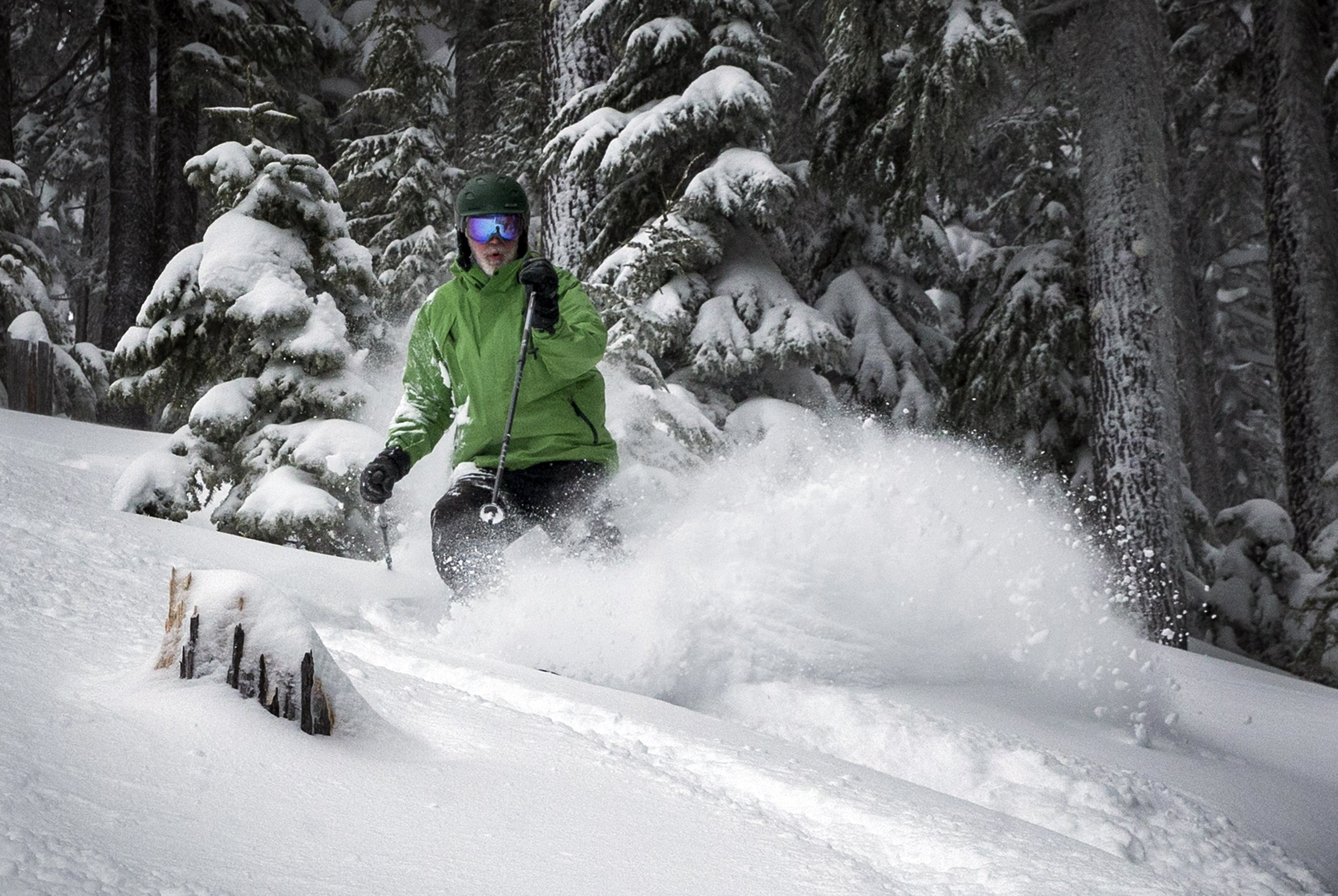
SALEM, Ore. (AP) — Winter storms that dumped snow this month have helped Oregon’s snowpack recover after lower-than-normal measurements — a boon for farmers and ranchers who have endured dry conditions recently.
The entire state has seen a 20 to 30 percent bump in snowpack and two to three times the normal precipitation since Feb. 1, the Capital Press reported this week.
As of Feb. 15, Oregon’s total snowpack was 93 percent of average, compared with 73 percent at the end of January and a paltry 40 percent at this time last year, said Julie Koeberle, a hydrologist with the U.S. Department of Agriculture’s Natural Resource Conservation Service.
That is contrary to the long-term weather forecast, which called for warmer and drier conditions across the Pacific Northwest.
“I’m not sure we saw this increase coming,” Koeberle said. “It was really a pleasant surprise.”
A healthy snowpack helps Oregon’s ranchers and farmers who rely on melting snow from the mountains to replenish streams and rivers that feed their irrigation systems.
Eastern Oregon is well ahead of the curve, with basins ranging between 114 and 132 percent of snow-water equivalent, which is defined as the amount of water in snow available to replenish streams and reservoirs.
Despite more snow falling in the Cascades, western Oregon still has some catching up to do, especially in the Hood, Sandy and Lower Deschutes basins, at 77 percent of average, and in the Willamette Basin, at 83 percent of average snowpack.
To the south, the Rogue and Umpqua basins have climbed to 91 percent of average, with 96 percent in the Klamath Basin.
“We’d like to see these storms continue,” Koeberle said. “If that does not happen, the best-case scenario would be to preserve the snowpack we just gained.”
There is a 55 percent chance that El Nino conditions will continue through spring, although it is a weak El Nino, said Mike Halpert, deputy director of the National Oceanic and Atmospheric Administration’s Climate Prediction Center.
Oregon usually reaches peak snow season in late March or early April, depending on the elevation. Last year, unseasonably warm weather caused snow to melt earlier than usual, exacerbating the summer drought.
“If we do end up losing our snow early, then we could hope for spring rainfall to help offset those impacts,” Koeberle said.