Sunday night’s brief tornado warning in north Vancouver, Orchards and Sifton caused alarm, but there was little damage — and no confirmed tornado in Clark County.
The National Weather Service confirmed that a tornado touched down in Multnomah County, Ore., but not on the other side of the Columbia River.
Scott Johnson, emergency management division manager for the Clark Regional Emergency Services Agency, said Monday that there have been reports of fallen vegetation but no structural damage.
“This is the kind of event — I don’t want to say ‘like’ — but it is the kind of event that allows us to review our protocols and see what we can do better,” he said.
The National Weather Service in Portland sent out a tornado warning at 7:48 p.m. Sunday, which was in effect for a little more than 25 minutes.
Clark Public Utilities reported no power outages from Sunday night’s turbulent weather. Clark County Public Works reported no storm damage.
“There really was nothing that went poorly,” Johnson said. “We had some minor flooding on the two interstate (freeways) that slows down things. But there were not any significant lessons learned from this event.”
The National Weather Service used a wireless emergency alert system to send warnings to a specific area, Johnson said. Smartphone users do not need to sign up to receive these alerts, he said.
“We think that went really well,” he said, adding that coordination with police, fire and other first responders went smoothly.
There was one snag: people calling 911 to inquire about the tornado warning. Johnson said the dispatch center doesn’t track the number of those calls, but he emphasized that people should not call 911 dispatchers for nonemergency issues.
“Only call 911 if you have or see an emergency,” he said, adding that calling 911 for nonemergency issues “ties up the phone lines and inhibits us from responding.”
The National Weather Service confirmed Monday that what it categorized as an EF0 tornado, a relatively weak twister with peak winds of 65 mph, touched down on farmland in northwest Multnomah County at 6:44 p.m. Sunday. The tornado caused minor damage, including destroying a canopy, damaging a solar panel array, knocking barn doors off their hinges, snapping 4-inch tree branches and damaging corn and pumpkin fields.
More unsettled weather
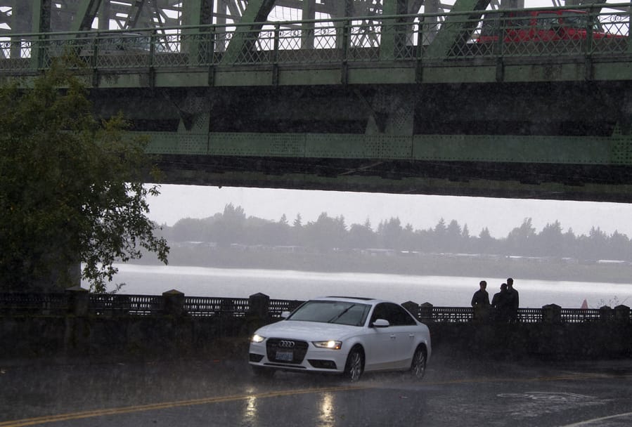
Sunday night’s tornado warning capped 24 hours of unsettled weather than included periods of bright sunshine and heavy rainfall.
According to the National Weather Service, 0.43 inch of rain fell on Vancouver on Sunday and 0.19 inch on Saturday. The total of 0.62 inch is more than twice the average 0.25 inch during that same eight-day period in September.
Tuesday’s forecast calls for showers, mainly after 9 a.m., with the weather turning drier beginning Wednesday.
“We have a high-pressure ridge moving over the area, which is usually pretty synonymous with clear conditions and drier conditions,” said Rebecca Muessle, a meteorologist with the National Weather Service in Portland. “On Friday, we have a front moving in from the north Pacific. That is going to be switching things up a bit.”
With more showers heading toward the region late Thursday night, this might seem to be shaping up as a particularly wet September, but Muessle said normal rainfall for September is 1.54 inches.
“It’s not unusual for us to get a lot of rainfall in September,” she said. “One of the challenges is that people have been remembering the last few years, which have fairly warm and dry.”
And before you decide to take the portable air conditioner out of the window, remember: Summer doesn’t officially end until Sept. 23.