LONGVIEW — Castle Rock sophomore Logan Sutera has long known about the significance of Mount St. Helens. But after participating in research on the mountain, he said he’s learned that there’s far more to the neighborhood volcano than meets the eye.
“Everyone goes up there and thinks wow, a site of destruction,” Sutera said. “And it’s going to happen again, but when I go up there now I see this place where scientists, for the first time ever, are able to learn from a ecosystem recovering from a complete natural disaster. (In some places the land) was wiped to bare rock.”
Sutera is part of the high school’s biology class taught by Ryan Penner. For nearly a decade, Penner has taken students to Mount St. Helens to study how plants and trees are reclaiming what was once a blasted and barren landscape.
And another lesson is just as important to him: The mountain is not just a place to hike or sled, but a geologic force to be reckoned with.
“Our mountain is a major influence in our region,” Penner said during a recent phone interview. “And on a geologic time scale, it will pose some great dangers.”
Penner’s class is part of a long-standing education program run by the Mount St. Helens Institute, and the program is “always a blast,” Penner said.
Surprisingly, though, most local school districts don’t teach about the volcano in a comprehensive, hands-on way, even though Cowlitz County was the area most affected by the blast on May 18, 1980.
“I watched the mountain blow and I remember it as a little kid, so I probably know more than a person my age because I also teach it,” Penner said. “But I’m always amazed at how many people who live locally have never been up to the mountain to learn about it.”
Sutera, who just moved to the Castle Rock School District from Toutle, said while his Toutle science teacher also taught him a lot about the mountain, he learned a lot by visiting it, too.
“I didn’t know about different successional changes and how the environment is growing back,” Sutera said. “And that how the land was managed before the mountain blew has a great effect on mountain recovery.”
Started in 2011 at Prairie High School, the high school field ecology program has since expanded with the help of a Washington STEM grant to include a half-dozen schools around the mountain each year. Toutle Lake is the only other Cowlitz County district participating. Abi Groskopf, programs director for the institute, said the program connects students to the “volcano in their backyard.”
Penner’s students tend not to know much about the mountain or the 1980 eruption, he said, but they’re eager to learn.
“I’d like them to know more (when they start), but they’re always interested,” Penner said. “I give my students much more information and background on the mountain than (a) slideshow.”
Groskopf said she finds that previous knowledge of the mountain varies based on school district. Districts like Toutle and Castle Rock “tend to have a stronger relationship with the mountain than some of the schools in Vancouver,” she said.
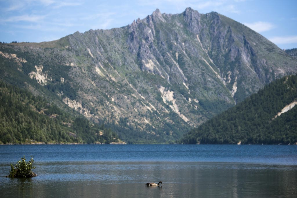
The institute maintains 37 research plots for students around the mountain. Students study how plants come back in three of the major disturbance zone in the 230-square-mile blast area: the blow-down zone, the standing dead zone and the landslide that filled the Toutle Valley up to 600 feet deep.
“We tried to put our plots in a variety of those disturbance areas, so students can make comparisons about what’s happening,” Groskopf said.
They only major disturbance zone they don’t study is the Pumice Plain, the broad, fan-shaped area between Spirit Lake and the north foot of the volcano, where an intense amount of university research is taking place.
Each location provides students a different opportunity, Penner said. The landslide area is very delicate, and using the Mount St.Helens Institute’s research plots gives students a feel for field work.
“If you walk out there, you just obliterate anything you step on,” Penner said, so students have to learn to be aware of research plots.
The blow-down zone, where the lateral blast flattened trees, allows students to address questions of variables, Penner said. Some areas had been logged before the blast; some were salvaged logged after the eruption; and the fallen trees were left alone as part of the 110,000-acre Mount St. Helens National Volcanic Monument. So students can come up with a variety of questions.
And along the perimeter of the blow down zone, in the narrow fringe where trees died but remained standing, students can test how much the standing trees are influencing development of a new forest, Penner said.
“The point of this project is twofold,” Penner said. “One is to understand field studies and the other is … to understand succession and see growth over time or growth in different areas.” (Ecological succession is the process of how and when different plant species return to an area after a disturbance.)
Groskopf said the methods the students use were developed with the help of U.S. Forest Service researcher Charlie Crisafulli, so they’re the “real thing.” (A TDN story on Crisafulli ran April 12, and can be found online in the Mount St. Helens story collection.)
The program also teaches students about how research works, she said, and that science is often “messy” and requires many repetitions, as well as acceptance that often the results are not what scientists expect.
“As a culture we have to keep trying to be able to find the solution,” Groskopf said. “It’s not a once and done the way your school classroom labs are … where we know what the answers will be before we even start.”
Back at school, Penner said he flips the traditional science model around due to time constraints. Usually, scientists come up with a question, then collect data to answer it. Penner’s class uses the data to come up with, then answer, a question. Then they make a poster showing results.
“Some questions I know are not going to be good questions, but that’s not the point,” Penner said.
This year, Sutera said his group studied how canopy cover of the trees affects how many small animals live in the ponds.
“We found as the environment grows and matures, there’s more animals,” he said.
While he’s done research projects before, Sutera said the experience was awesome, and something he thought all students should take.
“The mountain is right in everyone’s backyards, but not everybody knows … why people flock to it and why its being preserved as it is,” he said.
While the public’s awareness of the mountain as a geological hazard seems to be fading, it shouldn’t, Penner said, adding that the area offers a wealth of research, education and recreation.
“Everybody should come and check out the mountain,” Penner said. “It’s awesome.”
And Groskopf hopes that people remember that Mount St. Helens for more than its giant eruption.
“Our cultural perception of it continues to evolve beyond a single day in time,” she said, while acknowledging that May 18, 1980 “was historic.”
Penner agrees, saying he’ll “always make this volcano be part of my classroom and life.”