BEND, Ore. — It’s what most every skier and snowboarder in the Northwest wants to hear about the upcoming winter.
La Nina.
“I’m optimistic,” said Larry O’Neill, director of Oregon Climate Services at Oregon State University in Corvallis.
“You can’t say for sure. But with all the information that we have, there’s good reason to be optimistic.”
O’Neill said the tropical Pacific Ocean conditions are consistent with a La Nina weather pattern developing, and the National Weather Service Climate Prediction Center estimates a 75 percent chance of La Nina conditions staying throughout the winter.
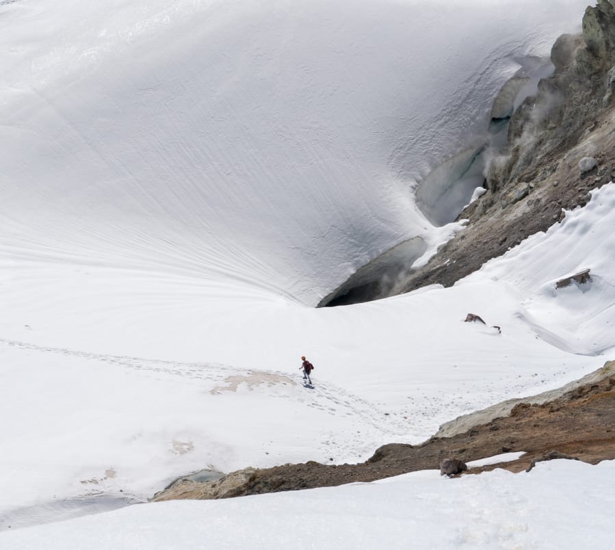
A La Nina typically makes for cooler temperatures and above average precipitation in the Northwest meaning the potential for a big snow season.
El Nino which usually makes for a warmer and drier Northwest winter and La Nina are seasonal weather patterns driven by sea surface temperatures in the Pacific Ocean.
“On average in a La Nina, historically we’ve gotten above-average snowfall in the Cascades,” O’Neill said. “There’s a little bit stronger signal with just precipitation in general, either rain or snow. We might get above-average precipitation, but whether that falls as snow and sticks around is kind of a wildcard at this point. We might have a higher chance of rain on snow events.”
After the warmest September in Bend on record, and a warm October thus far, most of the remainder of fall is expected to be cooler than average with more precipitation than average, according to O’Neill.
“The two-week to one-month seasonal forecast suggests it’s going to be a wetter fall, but there’s a lot of uncertainty with that,” O’Neill said. “It just depends on the temperature set up for it. Eastern Oregon is supposed to be cold but it may not make it to the Cascades. There’s a good chance we’ll have decent precipitation this fall, but the temperatures are kind of a mixed bag.”
Mt. Bachelor ski area, which typically attempts to open for winter operations on Thanksgiving weekend each year, announced earlier this month that it plans to open by Dec. 7, provided there is enough snow to open all three of its base areas. That will enable more physical distancing amid the COVID-19 pandemic.
“Instead of looking ahead to forecast the season, we looked backwards at historical snowfalls as one variable in determining a December 7 opening,” said Leigh Capozzi, brand and marketing director at Mt. Bachelor. “Our goal is to open and stay open for the duration of the season. Having a larger terrain footprint than we typically do on opening day is critical to enable physical distancing and create a safe environment for our staff, guests and community.”
Last winter was a weak El Nino, O’Neill said, as the first significant snowfall arrived in late December. January and February also featured decent snow for skiing and snowboarding before resorts shut down in mid-March due to the pandemic.
“The skiing got really nice just as COVID hit,” O”Neill said.
A La Nina that brings early snowfall could help assuage that pent-up demand that some skiers and snowboarders might feel from a season cut short.
The last La Nina on record was 2017-18, and it made for a memorable snow year in Central Oregon and throughout the Cascade Range.
With a base elevation of 6,300 feet, Bachelor can pretty much count on getting decent snow every winter. But that is no longer the case for smaller ski resorts like Willamette Pass (base elevation 5,128 feet) and Hoodoo (base elevation 4,668 feet).
“Being right at that elevation, just a 500-foot shift in the snow elevation can mean the difference between a lot of rain and a lot of snow,” O’Neill said. “With climate change, we’re getting these bigger oscillations in the jet stream. We’re starting to warm enough, that the average freezing level is starting to rise above (mountain) passes. At times we’re getting these earlier rain bursts in October, when before it would have fallen as more snow. The trend now is for it to fall as rain.”