A few early snowstorms can’t erase a drought that started about two years ago.
But it’s progress.
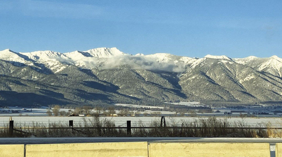
The mountain snowpack — a vital source of water in Northeastern Oregon — is well above average across the region.
As of Monday morning, Dec. 5, the water content in snow at 19 measuring sites ranging from the northern to the southern Blue Mountains, and including the Wallowa and Elkhorn ranges, was 60 percent above average.
At a few sites the water content was more than double the typical amount for the date.
Water content is a more meaningful statistic than snow depth, since a foot of dry snow can have less moisture than several inches of soggy snow.
“I’m thankful for everything we have,” said Mark Bennett, a Baker County commissioner who also owns a cattle ranch in the southern part of the county, near Unity.
Bennett said about a foot of snow was on the ground at his ranch on Monday morning.
“That’s great,” he said. “And it seems to have, for Eastern Oregon, a decent moisture content.”
Snow in this region typically contains less moisture than snow in the Cascades, where temperatures generally are higher and the snow much wetter.
The snowpack situation is especially promising in the northern Blues.
At High Ridge, near Tollgate, the water content Monday morning was 8.4 inches — 227 percent of average.
At Milk Shakes, which is near the Oregon-Washington border, the water content was 10.7 inches, which is nearly twice the average.
In the Elkhorns, the water content ranges from 133 percent of average at Bourne, to 172 percent of average at Gold Center, near Sumpter.
In the Wallowas, the situation is more favorable on the west side of the range, which tends to be snowier than the east. The water content is 165 percent of average at both Moss Springs, above Cove, and Taylor Green, near Eagle Creek.
On the east side of the range the water content is 119 percent of average at Aneroid Lake south of Wallowa Lake, and 111 percent at Mount Howard, near Wallowa Lake.
In the southern Wallowas, the water content at Schneider Meadows, north of Halfway, is 126 percent of average.
Precipitation still lags
Although the snowpack is prodigious for early December, total precipitation for the water year, which starts Oct. 1, remains below average in some areas, particularly in the Elkhorns.
That reflects the unusually dry October and November. No measurable precipitation fell at the Baker City Airport from Nov. 8-26.
At Eilertson Meadow, along Rock Creek west of Haines, total precipitation since Oct. 1 is 5.8 inches, which is 5 percent below average.
At Bourne, the total of 5.4 inches is 16 percent below average.
But in the northern Blues the onslaught of snow over the past 10 days or so has boosted total precipitation, since Oct. 1, to 20 percent above average at High Ridge.
Bennett said the lack of moisture during October and November — before the ground froze — is troubling because it raises the prospect that when the snowpack, however deep it gets, begins to melt next spring, much of the water will soak into the soil rather than run into streams and reservoirs that farmers and ranchers depend on for irrigation water.
Typically the snowpack reaches its peak at higher elevations, generally above 6,000 feet, in March or early April.