Vancouver leaders work to reshape neighborhoods so residents can get around without cars
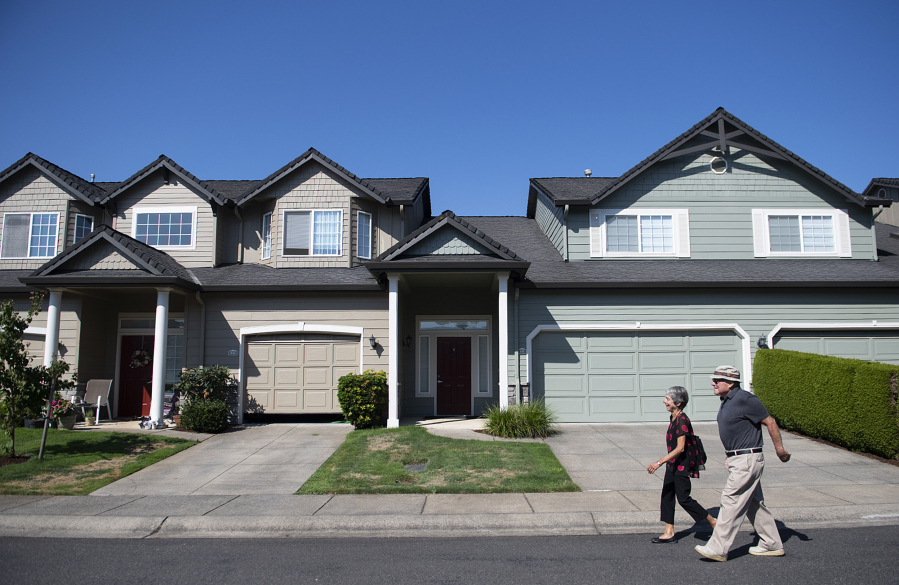
When Dick Gill and his wife, Laura, lived in Chicago, they were able to grab groceries, get to work or enjoy the city’s restaurants by walking or taking public transit.
Then they retired and moved to Vancouver in 2016.