Originally published: July 16, 2009
JOHNSTON RIDGE — On a gray Tuesday morning, a bevy of scientists clustered around a set of 14 peculiar silver boxes in a gravel parking lot near Mount St. Helens.
Anticipation was high as the group waited for the sun to burn through a blanket of low-hanging clouds. A helicopter waited nearby to hoist the packages into the volcano’s crater and around the mountain flanks, putting the sensors into position to measure every volcanic hiccup.
Once in place, the probes would form their own communication network.
“No one in the world has ever done this before,” said WenZhan Song, a computer scientist from Washington State University Vancouver.
In essence, the probes will “talk” to one another.
It marked the first real-world deployment of probes capable of prioritizing data and deciding on their own the best way to transmit from point to point in a self-forming network. A probe whose radio transmission becomes blocked by a sudden blast of ash, for example, would quickly relay its signal by way of another path.
“That’s the beauty of this thing,” said Josh Doubleday, a scientist with NASA’s Jet Propulsion Laboratory who specializes in artificial intelligence. “It’s going to find its own way out. It doesn’t have to be anything dramatic. It could be something as simple as a snowdrift.”
The concept was borne of tragedy.
Communication broke down between New York firefighters and police when the first tower fell at the World Trade Center after the Sept. 11, 2001, attacks. Rather than relying on a network tied to one vulnerable receiver, Song said, the software he designed with WSU computer science director Behrooz Shirazi could be modified to enable individual radio transmitters to form a self-organizing network.
“The nodes can talk with each other directly, without cell phone towers,” Song said.
Tuesday’s deployment marked the culmination of a three-year partnership between the U.S. Geological Survey, WSU and NASA’s Jet Propulsion Laboratory. NASA contributed the bulk of the funding for the project — $1.63 million, with another $500,000 from the USGS — with an eye toward adapting the technology in environments even less hospitable than an erupting volcano.
“We’re trying to show this is quite feasible to use out in space,” Doubleday said.
Rocket scientists with JPL envision a sensor array capable of automatically transmitting data from the surface of, say, Mars.
The JPL, based in Pasadena, Calif., said Song’s software could lead to the development of a “smart” network of probes and orbiting satellites beyond Earth. The scientists who conceived of the network dubbed it Optimized Autonomous Space Insitu Sensor web, or OASIS.
“It was after hours,” quipped Sharon Kedar, a senior member of JPL’s technical staff.
If the name was sketched on a cocktail napkin, the concept most assuredly was not.
Rather than burning scarce battery power transmitting inconsequential reams of data from the planet surface to an orbiting satellite and then on to Earth, this new array would be capable of picking and choosing notable developments. When necessary, signals and probes could reposition themselves during a meteor shower, for example. This beats the alternative: waiting 20 minutes it takes for a signal to travel at light speed back to Earth, have a scientist analyze it, then wait another 20 minutes for the command to arrive back.
For NASA, Mount St. Helens serves as a kind of stand-in for Mars.
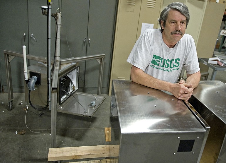
Brimming with antennas and loaded with sensors, each of the silver packages is about the size of a single kitchen cabinet and held off the ground with three steel legs — loosely resembling a spider. Like the nodes of an electrocardiogram that measure the beat of a human heart, these probes will take the pulse of the volcano.
A heavy plate measures the tiniest earthquake. A GPS antenna detects ground deformation down to the millimeter. Another sensor even measures air pressure, so as to detect a steam blast at night or under cloud cover.
Given the fact that the volcano’s eruption paused in 2008, deploying more than a dozen new sensors isn’t strictly necessary from the standpoint of hazard monitoring, according to Rick LaHusen, an instrumentation engineer with the U.S. Geological Survey’s Cascades Volcano Observatory in Vancouver.
“This is kind of overkill,” he said, before climbing into the helicopter.
The spiders, and Song’s thumb-size memory card embedded within each, will serve their most valuable function as a prototype for hazard monitoring across the country. LaHusen said that Song’s network could be especially useful when paired with GPS devices measuring landslides.
Once the clouds had cleared away a straight view to the volcano eight miles away, the helicopter lifted off with a spider dangling from a grapple hook below. One after another, LaHusen directed the pilot to lower each gadget down onto several well-worn locations on and around the volcano’s two lava domes and the mountain’s flanks.
Song watched the helicopter buzz back and forth from a viewpoint near the visitor center at Johnston Ridge.
A laptop registered the signal sent by each spider, as well as radio connections the spiders were assembling between one another and the anchor point at Johnston Ridge. One spider switched between two receivers every few seconds, beaming its radio signal from one to the other. Song was encouraged.
“Signal quality is not going to be the same line,” he said. “Radio quality fluctuates.”
Ultimately, the spiders wove an electronic web that connected all but one across a distance of nearly six miles and elevations that varied by hundreds of feet. LaHusen said he would revisit the one orphan spider, which has a directional antenna that was probably pointing into the steep rocky slope where he dropped it.
LaHusen said the spiders themselves are relatively inexpensive, worth about $3,000 including their component parts.
All of them will stay on the volcano through the winter. LaHusen anticipates redeploying some of them to the erupting Mount Kilauea in Hawaii, while others may be distributed to volcanoes in Alaska.
In the meantime, scientists with the Jet Propulsion Lab plan to connect the spiders with a satellite orbiting the Earth. If the volcano quivers with pre-eruptive activity, a NASA satellite could automatically be re-tasked to Mount St. Helens. Using shortwave imaging, the satellite could scan the crater for telltale heat signals that indicate magma is nearing the surface. This is especially useful in the Pacific Northwest’s rainy climate.
“Most days, it’s cloudy and we can’t see it from the ground,” LaHusen said. “But it can be seen from directly above (via satellite).”
Kedar, with the JPL, said the satellite becomes just another node in a web stretching from the volcano into space.
“It’s just another sensor in your network,” he said. “It becomes another tool.”