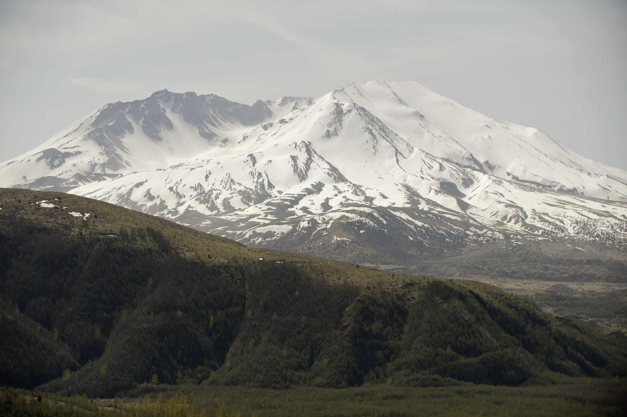
SEATTLE — A new study of Mount St. Helens aims to look deep — about 60 miles down to the zone where tectonic plates collide and magma rises.
The study is one of the first to examine the plumbing between the mantle and the volcano, said one of the principal investigators, University of Washington Professor John Vidale. Creating images of the reservoirs of molten rock beneath the volcano would help quantify the risk of an eruption and could help predict the danger at volcanoes around the world.
Most volcano studies look at the upper crust, within 10 miles of the surface, Vidale said Wednesday.
“We’re trying to look all the way down to the mantle, to see the deep structures and see what magma bodies we can find and how it rises to the surface,” he said. “It’s an ambitious study.”
Work is beginning now on the four-year study funded by a $3 million National Sci
ence Foundation grant. The study area will cover about 60 square miles around the mountain in southwest Washington.
In addition to the University of Washington, the study involves work by the Cascades Volcano Observatory in Vancouver, Oregon State University in Corvallis, Rice University in Houston and the Lamont-Doherty Earth Observatory at Columbia University in New York.
Work by Rice Professor Alan Levander will involve setting up about 2,500 small seismographs around the mountain in the next year or two and setting off 10 to 20 underground explosions in 80-foot-deep wells.
“They won’t disturb the ground much, but they will produce a signal you can see out 100 miles,” Vidale said. “With all those instruments, we should have a very detailed picture.”
The deeper imaging will try to picture where the Juan de Fuca tectonic plate from the Pacific is forced under the North America plate. This Cascade “subduction zone” also is the area that can produce magnitude-9 earthquakes when the plates slip or break. The magma from this zone makes its way to the surface in Northwest volcanoes.
Besides the seismic work, the study will look at the magnetic and electrical properties of the deep rock.
“Getting a map of where electricity does flow is a useful guide to identify magma,” Vidale said.
It may show how the Cascade volcanoes are connected, said Vidale, who also is the Washington state seismologist and director of the Pacific Northwest Seismic Network.
Some of the first results should be available in a couple of years.
Since its big eruption in 1980 that killed 57 people, Mount St. Helens has been one of the most-studied volcanoes in the world. It’s the centerpiece of the 170-square-mile Mount St. Helens National Volcanic Monument that was set aside for research, education and recreation.