LONGMONT, Colo. — Search teams working their way down the list of those still unaccounted for in Colorado’s devastating flooding on Thursday were using satellite images to map out where houses once stood before the disaster washed them away.
The number of people reported unaccounted for plunged from a high of 1,200 to about 200 as rescuers reach stranded victims, and electricity and phone services are restored to ravaged areas, allowing residents to contact family, friends or authorities.
Meanwhile, authorities have resigned themselves to the fact that some people plan to stay in their cut off communities, even though winter in the foothills isn’t far off. They’ve been warned that ambulances and deputies won’t be able to reach them. Larimer County sheriff Justin Smith said he’s still encouraging people to leave but nevertheless he’s been impressed with the residents of one area who’ve already started rebuilding their access road using shovels, pick axes and ATVs.
In a sign of things to come, Trail Ridge Road through Rocky Mountain National Park — a key supply route to the town of Estes Park — was temporarily closed because of snow overnight. The high-elevation road normally closes in October for the winter but the park is working to keep it open as long as possible this year.
Business owners were allowed back into the heavily damaged town of Lyons to assess the damage on Wednesday, and homeowners under mandatory evacuations were expected to follow Thursday.
Also Wednesday, Jamestown residents were allowed home.
Jennifer Hillmann, a spokeswoman for the Larimer County Sheriff’s Office north of Boulder, said Wednesday that widespread airlifts have given way to “pinpoint” rescues and door-to-door searches.
Urban search-and-rescue teams with dogs and medical supplies began picking through homes, vehicles and debris piles for victims.
“We’re having a lot of people who are holed up and they don’t want to leave the area,” Hillmann said. But she added that “we’re getting a lot more people calling in and saying, `hey, here’s where I’m at. I’m safe.”‘
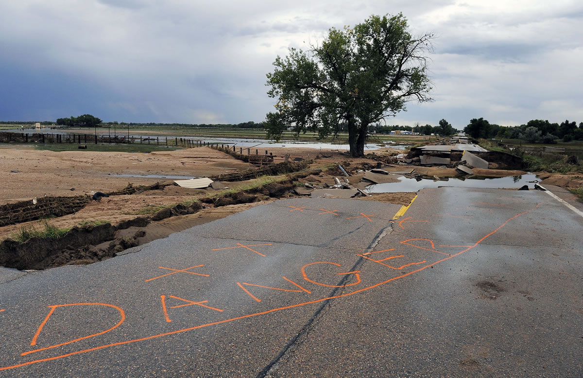
Search crews also are documenting the damage they find, Boulder County Sheriff Joe Pelle said.
It is part of responders ending the “high-octane” emergency response to the widespread flooding that began last week “and moving into the long and arduous task ahead,” he said.
Ten helicopters were still flying rescue missions, down from a high of about two dozen.
Many homeowners ignored the evacuation orders to stay with their homes, and they waved off rescue helicopters flying overhead.
Hillmann said search crews were showing some of them photos of how broad the destruction is in hopes they will leave, noting that some mountain communities could start getting snow soon.
“Although it might be OK where you are now, up the canyon and down the canyon are completely washed out,” she said.