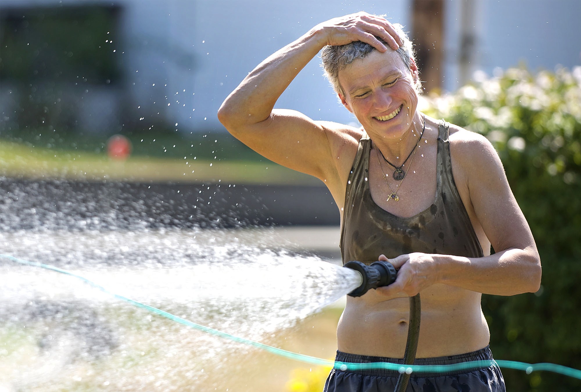
Today’s advice for those that hate the heat: Run, don’t walk, to the nearest air conditioner.
This afternoon, temperatures could reach 98 degrees, which is both the record high for the year set on July 1 and the record high for Aug. 11, set in 1961.
And it could get hotter than that, depending on when a burst of cooler relief comes, bringing what’s likely to be an active thunderstorm system with it.
“I’m not ready to say it’s going to be the hottest day of the year, because we can get pretty hot into September,” said Jeremiah Pyle, a meteorologist with the National Weather Service in Portland. “But it’s certainly the hottest in the next seven days.”
The day is also likely to break the record low high temperature for Aug. 11 — that’s the warmest low overnight temperature. That record was 65 degrees, set in 2009. The lowest high temperature overnight was 68 degrees, and it’s unlikely to get cooler before midnight tonight, he said.
“Most likely that record will fall,” Pyle said.
The warm air is coming from the interior west, Nevada and eastern Oregon. That’s going to shift in the next 24 hours, first with an upper level closed low pressure system that’s spinning unstable air counterclockwise to us from the San Francisco Bay area, and then with a second front on Tuesday that will come down with cooler marine air from the Gulf of Alaska.
“It’s a fairly difficult forecast going into the middle of the week,” Pyle said. “It’s actually one of the better thunderstorm systems we’ve seen in quite a while.”
Before the cooler air arrives, though, officials advise limiting time outdoors and watching for signs of heat exhaustion and heat stroke.
“People should take extra care today to make sure they don’t push beyond their limits,” said Erik Denninghoff, a emergency room doctor with PeaceHealth Southwest. “Try to avoid spending extended time in the direct sun today. To stay cool, stay in the shade, visit an air conditioned store or movie theater and drink plenty of water or Gatorade.”
Signs of heat exhaustion include dizziness, fatigue, clammy skin, rapid pulse, muscle cramps and intense thirst. Signs of heat stroke include hot, dry skin, a lack of sweat, high body temperature, rapid pulse and feinting.
In either case, PeaceHealth advises to give the person liquids, cool them down and get them into the shade. Unless the case is mild, the person should also go to the doctor or hospital.
“If you or someone you are working with experiences these conditions, find shade and take immediate steps to reduce body temperature,” Denninghoff said in a news statement.
By Tuesday, the weather should drop to the mid-80s, and through mid-week it should be even cooler, in the mid-70s, Pyle said.
“If we can just make it through today, there’s no really hot days for a while,” Pyle said.