FLORENCE, Ore. (AP) — Most of the routes off-road users have cut through vegetated areas in the Oregon Dunes National Recreation Area will be closed under a decision from the U.S. Forest Service aimed at ending years of wrangling.
The decision issued Thursday will allow some informal routes and designate some restricted areas for open riding, the Corvallis Gazette-Times reported.
In the formal record of decision, Supervisor Jerry Ingersoll of the Siuslaw National Forest said he tried to reduce conflicts between motorized and non-motorized uses of the recreation area while accommodating at least some of the requests made by recreational off-roaders.
That included modifying earlier proposals and allowing open riding in a larger segment of the North Riding Area that is used heavily by families with children and is close to campsites.
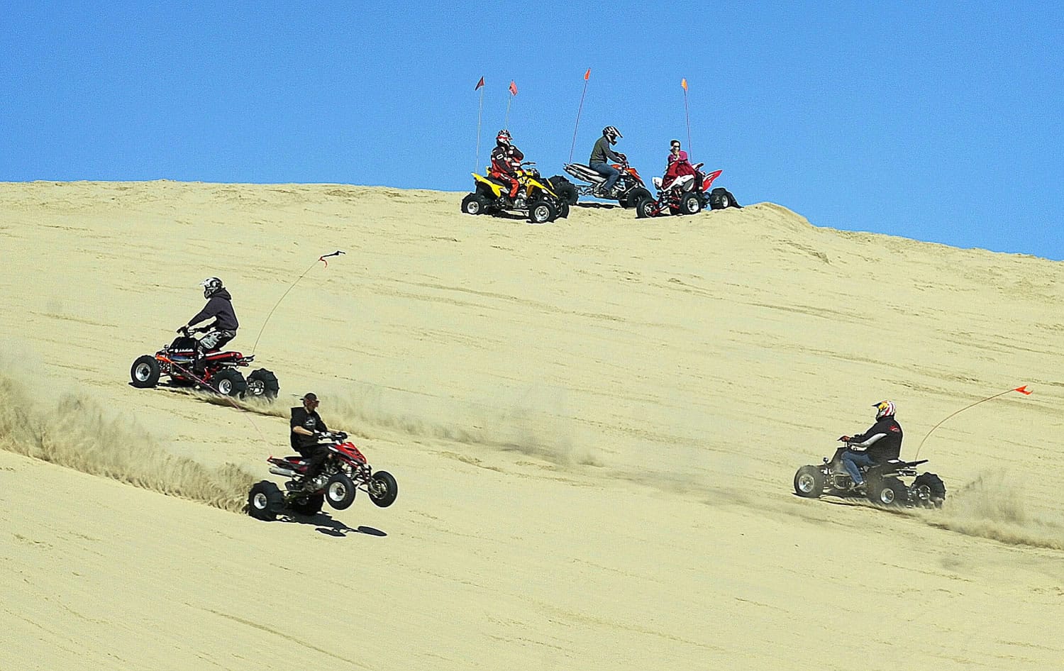
The National Recreation Area consists of 45 square miles stretching from Florence to North Bend along the Oregon Coast.
It is a playground for riders of dirt bikes, dune buggies and four-wheelers, lumped together under Forest Service nomenclature as off-highway vehicles, or OHVs.
It also draws hikers, beachcombers and others who don’t use motors in their recreation.
Parts of the dunes are marked off as habitat for western snowy plovers and other protected species.
Historically, a little more than 9 square miles of open sand had been set aside for off-road riding, with another nearly 7 square miles of vegetated areas where riding was allowed on 34 miles of designated trails.
Over time, riders carved a 135-mile web of trails through the vegetated sections of the dunes, and in 2011 the Siuslaw National Forest took up the task of reasserting a long-ignored ban on riding non-designated routes.
The decision adds 2.3 miles to the official network of designated trails. It also changes the management designation on less than a square mile to allow riders to go anywhere they want, including 53.5 miles of user-created routes through vegetated areas.
The agency now plans a restoration project to reduce the amount of non-native vegetation and to re-establish open dune areas. Most of that vegetation was introduced intentionally decades ago and has spread, reducing open sand areas to just a fraction of their former area.