MINNEAPOLIS — Residents across the Upper Midwest are getting the snowfall that some have apparently been missing this winter.
Heavy snow is expected Tuesday in parts of Minnesota, Iowa, Michigan, North Dakota, South Dakota and Wisconsin.
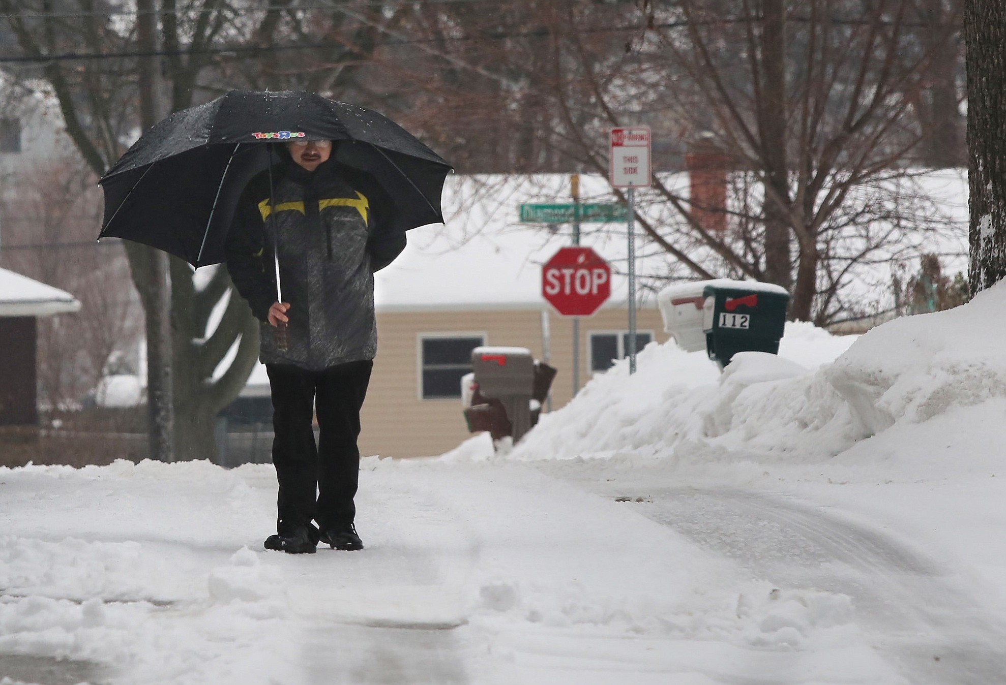
A band from west-central to northeastern Minnesota could see the heaviest amounts, 4-6 inches. Blizzard conditions are expected in south-central and west-central Minnesota as well as across south-central to northeastern South Dakota.
Meteorologist Jim Taggart with the National Weather Service in Chanhassen, Minnesota, said the state has seen about half its usual snowfall this season.
“If somebody likes winter weather and they want to go out, they’ll be happy,” Taggart said Monday of the approaching storm.
NORTHERN BLIZZARDS
The weather service posted winter storm watches, warnings and advisories for much of North and South Dakota, with mid-central and northeastern South Dakota under a blizzard warning. Arctic air was forecast to drop temperatures below zero overnight, and some areas could see wind chills in the minus 30s.
Forecasters say 5 or more inches of snow should be expected in the hardest-hit areas with winds gusting to 50 mph and blowing snow reducing visibility. South Dakota’s Transportation Secretary Darin Bergquist warned it would be “a dangerous spring storm.”
A blizzard warning was also in effect for much of central Minnesota, with the weather service warning of considerable blowing snow and drifting that could reduce visibility to less than a quarter of a mile in open areas.
Heavy snow and gusty winds also struck much of Wyoming, causing road closures and prompting transport officials to warn against all but essential travel across much of the state.
Icy roads were making travel treacherous in Iowa and Nebraska, leading to at least one fatal traffic accident in Omaha. Rain and freezing rain remained in the forecast for both states.
ST. PATRICK’S PLEA IN BOSTON
Organizers of Boston’s annual St. Patrick’s Day Parade say the event will go on as planned March 15, despite the 8½ feet of snow that has fallen on the city this winter, but they are asking for help in clearing the route.
Brian Mahoney, commander of the South Boston Allied War Veterans Council, is asking unions, businesses and residents to help shovel snow. He said it would be impossible to postpone the parade.
The city is just short of surpassing its 20-year-old snowfall record. Sunday’s snowfall brought the city’s total to 103.9 inches. It needs 3.7 inches more to break the 1995-1996 record of 107.6. Snow forecast for Tuesday and Wednesday could tip that total over the edge, according to Frank Nocera, a NWS meteorologist in Taunton, Massachusetts.
SNOWY NORTHERN ARIZONA
Out West, a winter storm that dumped heavy snow on northern Arizona all but departed Tuesday, although weather officials warned of scattered rain. Many schools remained closed for a second day.
Further south in the state, meanwhile, the weather service said Phoenix recorded an average high of 77.5 degrees last month — it’s second warmest February on record.