Trick-or-treating is getting high-tech.
Little goblins and wicked witches no longer have to rely on porch lights to tell them whether neighbors are handing out sweets on Halloween night. Instead, they and their parents can now plot their candy-seeking course with the help of a social media feature, Nextdoor’s Treat Map.
The map allows trick-or-treaters to see which houses are handing out candy and which are not. The catch, of course, is not everyone is using the Nextdoor site, so the map isn’t an inclusive list for all neighborhoods.
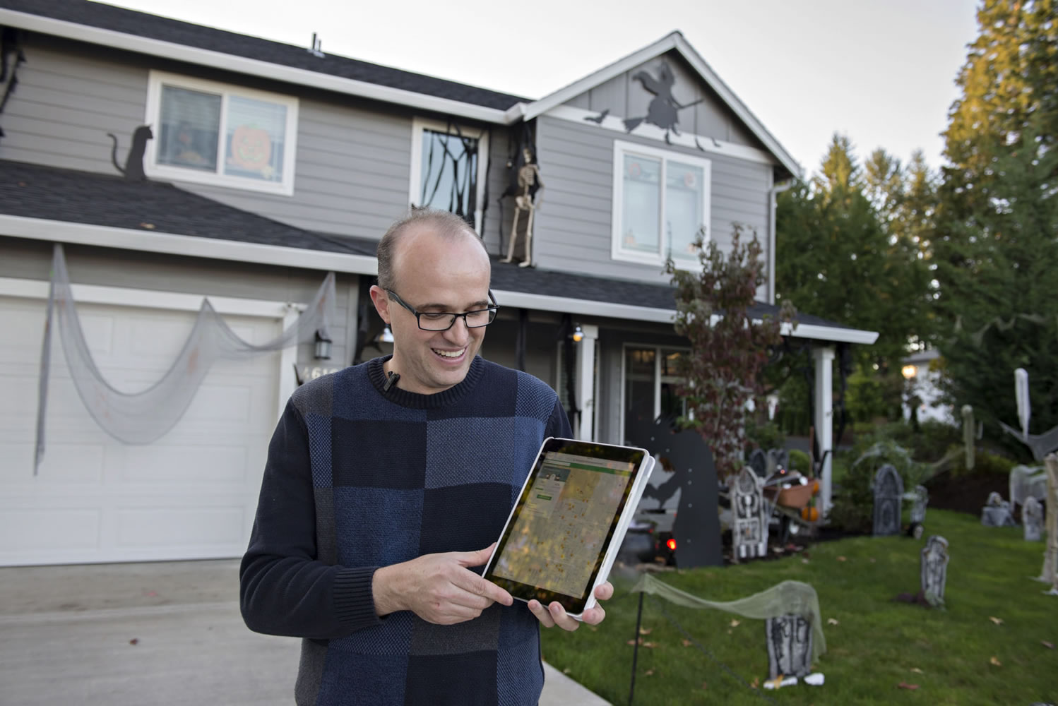
Still, Northwest neighborhood resident Jim Mains said he’s had success using the Treat Map. Mains and his wife, Ceci, put up elaborate Halloween decorations each year. Two years ago, they heard about the Treat Map and decided to mark their house as trick-or-treater friendly to try to recruit more visitors.
“It was kind of amazing. We saw a huge shift,” he said. “We noticed a big difference in the neighborhood residents trick-or-treating at our house because of Nextdoor.”
Vancouver's top 10 trick-or-treat hot spots
Here are the 10 Vancouver area neighborhoods with the most people indicating on the Nextdoor Treat Map online that they will be handing out candy, as of last Friday. The Nextdoor neighborhoods do not always align with city and county neighborhood names and boundaries.
• Maplecrest
• Northcrest
• Lincoln
• Falcons Nest
• Orchards-Silver Star
• Countryside Woods
• Fishers Creek
• Hough
• Riveridge
• Northwest
Nextdoor is the free and private social network for neighborhoods. Nextdoor is available online — www.nextdoor.com — and via apps for Android and iPhone. Those who sign up for Nextdoor can connect with others in their neighborhood and share community information.
In Clark County, people in 252 neighborhoods are using the site, according to Nextdoor. The Nextdoor neighborhoods do not always align with city and county neighborhood names and boundaries.
The Treat Map is a feature available to Nextdoor users every October. The feature allows Nextdoor users to indicate whether they will be handing out treats this Halloween. Those who will be accepting trick-or-treaters get a candy corn icon on their house. The feature also allows people to add a spooky house icon if they’re hosting a haunted house.
Users can also pull up the Treat Map for their neighborhood and a handful of surrounding neighborhoods, to see which homes will be handing out treats and map their trick-or-treating courses accordingly.
Angie Simas of Ridgefield has used the Nextdoor app for about a year. She heard about the Treat Map this year and decided to give it a try. After struggling a bit to find the Treat Map feature on her iPhone app, Simas successfully marked her home in the Hillhurst neighborhood as trick-or-treater friendly.
“Trick-or-treating is huge in our neighborhood,” she said.
But, Simas said, she didn’t see anybody else in her neighborhood signed up on the Treat Map when she marked her home a couple of weeks ago.
Because the neighborhood is so busy on Halloween, she suspects most trick-or-treaters rely on porch lights: if they’re on, candy is available; if not, no candy.
“I don’t see needing it in our neighborhood,” she said. “I grew up in rural areas. That would have been helpful for then.”
As a kid, Simas would have skipped the long driveways if she knew in advance there weren’t treats waiting at the end.
Judy Bumbarger-Enright, president of the Sunnyside Neighborhood Association, also signed up for the Treat Map. She tried the feature last year, too, but didn’t notice any change in the number of trick-or-treaters. She typically has about 70 kids come to her door each year.
The number of people using the app in her neighborhood, which covers a large geographical area north of Orchards, are few and far between. That, she said, is probably why it hasn’t made much of an impact.
“Give it a few years and people might pay attention to it,” Bumbarger-Enright said. “Right now, it’s probably not a big deal. It would be nice if it was.”
Bumbarger-Enright’s Sunnyside neighborhood is identified on Nextdoor as “Orchards-Silver Star.” That neighborhood is among the top of Treat Map users in the Vancouver area, according to Nextdoor.
Mains’ Northwest neighborhood is also among the most popular neighborhoods for map usage. When Main first signed up for Treat Map, only a couple of his neighbors were using the feature. That’s changed this year.
“This year, people are using it more,” Mains said. “Which is neat because then we’re not just a destination in the neighborhood. People can come park here and see all of the safe houses to trick-or-treat at.”