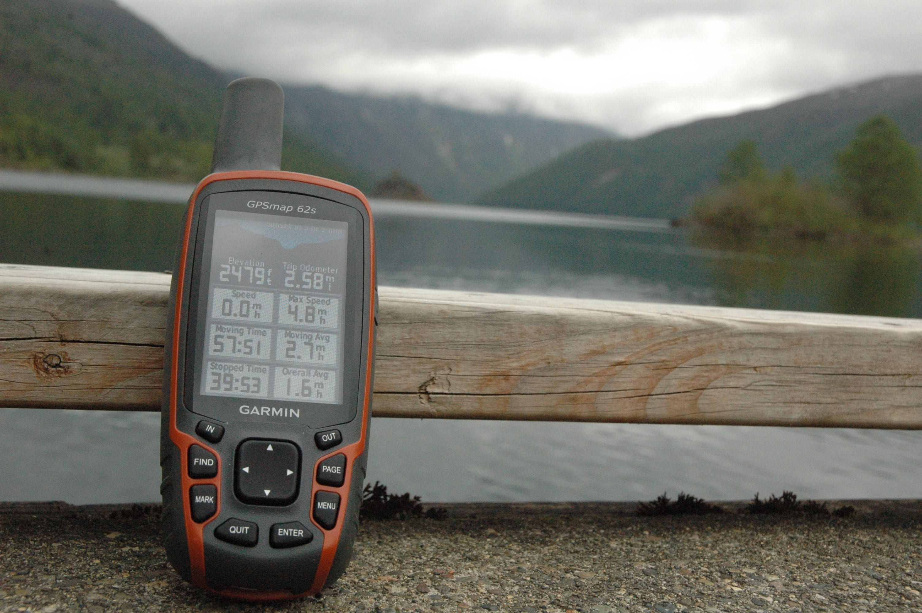
Q: What navigation tools should people take with them?
A: A map, a compass, an altimeter, cellphone GPS and satellite communication (a personal locator beacon or satellite phone).
Q: What about learning how to use these things?
A: Nobody is teaching the whole set. We (The Mountaineers) teach map, compass and altimeter with the basics of GPS. We are moving forward to incorporate these things. I think we need a course that covers all these tools. The closest that I know of is our wilderness navigation course. And we have a GPS course. We are launching e-learning, where you can learn about navigation online.
Q: Can you rely too much on technology?
A: One of the things I want to bring in is the military term of situational awareness. You know when you are driving with somebody else, your brain can shut off and you stop updating your mental map, you can get completely lost and turned around. If you are not actively engaged, and your brain isn’t updating your mental map, you are lost.
The same thing happens when you are staring at a little screen. You lose situational awareness. So, I’m trying to advocate folks use all these tools, not just as backup. If you are moving through the surroundings and your GPS says you’re here, if that’s true you should be at 5,000 feet. Then you look at your altimeter, “Oh my goodness, I am not.’’ And then you sort it out.