Land managers are conducting an overdue multi-year review and revision of the management plan for the Columbia River Gorge National Scenic Area.
The resulting document could have impacts for landowners and recreation enthusiasts alike for a decade or more after its finished.
Through a process they’re calling Gorge 2020, the Columbia River Gorge Commission and the U.S. Forest Service are working on updating the Gorge’s management plan.
As part of that process, officials are paying particularly close attention to the topics of economic vitality of communities in the Gorge, urban area boundaries, emerging land uses and the development review process, and recreation resource management.
The agencies have already held dozens of initial meetings around the Gorge to connect with stakeholders and listen to their concerns. From those meetings came the four aforementioned topics that will be explored in depth at future meetings.
“Residents of the Gorge will feel some differences with respect to the policies of what you can do with private land in the Gorge,” said Rachel Pawlitz, spokeswoman for the U.S. Forest Service Columbia River Gorge National Scenic Area.
“For the visitors to the Gorge,” she said, “recreation is one of the topics that will affect them the most.”
The National Scenic Area Act was created to protect and enhance the scenic, cultural, recreational and natural resources of the Gorge. Equally significant, the act was intended to support the economies within the Gorge by encouraging communities to grow within their urban growth boundaries and allowing growth that’s consistent with the goal of protecting the scenic area.
For the benefit of agencies and local stakeholders, the plan is supposed to be updated every 10 years, but the last update happened in 2004.
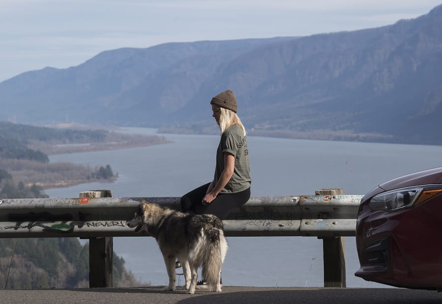
While the Gorge itself hasn’t changed much in the last 14 years, the way people interact with the landscape has.
Gorge 2020 has been in the works since the winter of 2016-17, when the scoping process began. The final plan is expected to be adopted in the fall of next year and put into action in 2020.
Throughout the update process, land managers and stakeholders plan to consider the purpose of the National Scenic Area Act and what role the Columbia River Gorge Commission might play in the realm of economic development, so long as it’s done in a manner that fits with the resource protection mission. Some stakeholders have said the two agencies could do more to foster development.
The agencies are also seeking to define the boundaries between urban areas, private properties and the protected federal lands. Understanding those boundaries is crucial for landowners because what they can do with their property greatly depends on whether it’s, say, within city limits or out in the scenic area.
‘Clear guidance’
For years, land managers have relied on Congress’s hand-drawn boundary maps, where the lines were made with thick markers. Those urban area boundaries have now been set, but the Scenic Area’s external boundaries haven’t.
One particular challenge facing officials is deciding what the process of modifying an urban area might look like, and defining the difference between “minor” and “major” modifications to an urban area boundary.
“The act itself said minor modifications can be made to urban areas, but it’s not clear what “minor” means,” said, Jessica Gist, senior natural resources planner Columbia River Gorge Commission. “I think we’re being asked for more predictability and clear guidance.”
Land managers will also look at how they can clarify what kind of land uses and developments can take place out in the Gorge, to catch up with the changing interests of Gorge communities.
While the land management plan was revised in 2004, a lot of what’s in the plan hasn’t been changed since it was first written in 1991. As a consequence, people now occasionally propose projects that no one was thinking of 14 or more years ago.
“We’ve seen a lot more changed in land use. Lots of vineyards, solar development, cideries, new forms of (agricultural) tourism, things that weren’t foreseen before,” Gist said.
“We’ve been able to create workarounds, but the lack of clarity causes issues in implementing the plan,” Gist said. “We know it can be overly time-consuming and burdensome and difficult to work with the process, because the plan doesn’t address some of these things.”
For Vancouver area residents, possible changes to how recreation sites are managed is perhaps one of the most significant topics.
The Forest Service uses an intensity class system to determine what kinds of amenities are at a recreation site and how “hardened” its features are. But there are real questions of how affective that system has been as use has grown substantially in recent years. There’s also the matter of the cost borne by Gorge communities when visitors need help and search and rescue crews need to respond.
The agencies so far have held two of four public informational meetings in Gorge communities. Throughout the process, land managers want to hear more from interested citizens, organizations and other partner agencies to join in for informed discussions of how to best implement the National Scenic Area Act in a way that works for the future.