Buses were delayed and several schools were closed on Wednesday following overnight snowfall across Clark County. And forecasters predict more snow may hit the area this weekend.
The National Weather Service in Portland had forecasted a mix of snow and rain across the Portland-Vancouver area for Wednesday morning, but weather officials were somewhat surprised by the amount of snowfall in one portion of the county.
The county’s school districts sent out alerts warning of the delays and closures.
The Battle Ground, Camas, Green Mountain, Hockinson and La Center school districts’ buses traveled on snow routes, which caused two-hour delays for the start of the school day.
Battle Ground and Hockinson schools canceled morning preschool programs.
Battle Ground announced around 7:30 a.m. that its north schools had been closed for the day. Washougal School District said about an hour later that it had closed its facilities for the day.
Green Mountain cancelled its lunch service and asked students to bring a lunch.
Meteorologist Evan Bentley said areas around 500 feet in the Vancouver area got a light dusting of snow, but not a measurable amount. The snow quickly melted in lower areas, he said.
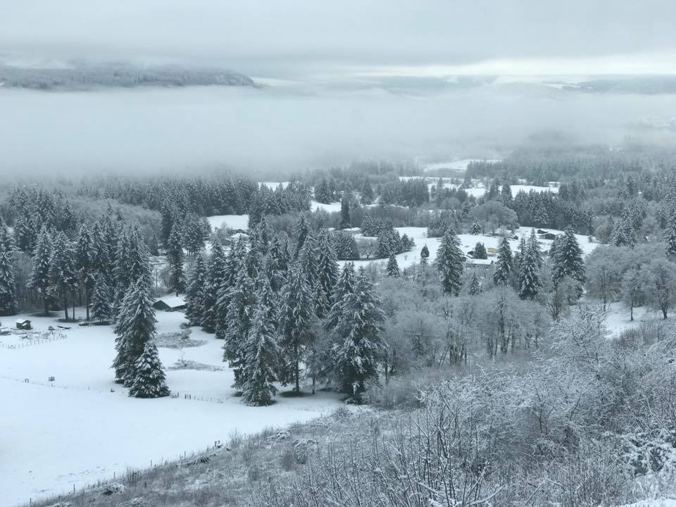
Battle Ground saw the most snow, with 1 to 2 inches around the community. Higher in the town’s hills, as much as 4 inches fell, Bentley said.
The accumulation in Battle Ground was a bit surprising, Bentley said, but that area tends to get hit hardest.
A mix of snow and rain may drench the area through the week, but the chance of snow is much lower. Moving into the weekend, snow could blanket Clark County again, but it’s still too early to tell, Bentley said.
A low-pressure system in the upper atmosphere moved into the area Tuesday night and Wednesday morning. That cold air mass was accompanied by moisture, said weather service meteorologist Matthew Cullen.
“As that moisture falls, because it was dry at the low levels initially, we get even more cooling, or enhanced cooling, so that’s brought us to around or below freezing and that’s what led this snow to fall to as low as 500 feet or so,” Cullen said.
The change in the weather pattern will likely remain for the latter half of February, according to the weather service.
“While the temperature will be the coldest we’ve seen for 2018, there will be limited moisture. This means that the below normal snowpack won’t improve much for the rest of February,” the weather service said in a Facebook post.
Jerzy Shedlock: 360-735-4534; jerzy.shedlock@columbian.com; Twitter: twitter.com/jerzyms