SPOKANE — The other day Paul Knowles received a curious call from a startled woman. She was out on a hike when she ran “into a dude in the nude.”
Knowles, Spokane County’s park planner, is used to fielding calls from hikers. It’s part of his job and a part he enjoys.
But this call was different.
The woman wanted to report a disrobed man. She’d been hiking on a trail in north Spokane when she’d turned a corner and seen the above-mentioned nudist ahead of her. The woman stopped and quietly backed away.
What trail, Knowles asked?
Not sure, the woman said. I found it on AllTrails, a popular crowd-sourced trail application. Knowles did some digging. Where’d she park? Where’d she hike?
Turned out the woman had been unknowingly hiking on private property and the dude in the nude was enjoying a perk of owning your own land, Knowles said.
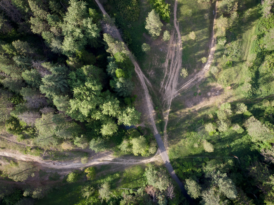
The story highlights a very real issue with the proliferation of user-generated hiking applications.
“These trails that show up on these apps aren’t vetted by anyone,” Knowles said. “And we don’t have the staff to monitor this stuff.
“It ends up being a Whac-a-Mole game.”
Land managers across the region report similar issues. In the Dishman Hills area, trail apps lead hikers onto private property, in that case property owned by KHQ. At the Waikiki Springs Nature Preserve it’s a similar story.
In addition to being illegal, trespassing can imperil ongoing land conservation efforts by angering landowners.
And over the past year-and-a-half land managers have seen the problem increase, likely driven by growth in outdoor recreation during the pandemic.
Which isn’t to say the apps are all bad, Knowles said. Trail apps, after all, provide real-time information on conditions and are a relatively easy entry point to outdoor recreation, a notoriously cliquey pursuit.
“As a very low-key outdoorsperson, I love AllTrails,” said Gonzaga graduate Lauren Campbell in a message. “It helps me quickly narrow down the hundreds of options to the trails that fit my very picky desires (of length, strenuousness, loop vs. out-and-back, etc.).”
Accuracy woes
But the accuracy of the apps — AllTrails, Strava and AllForks in particular — often leaves something to be desired. As illustrated by the “dude in the nude” encounter.
That’s a problem that AllTrails is aware of, said Meaghan Praznik the head of communications for AllTrails. Currently if there is a problem with a listed trail, land managers or others have to call customer support and flag the issue, she said.
But the company — which was founded in 2010 and is headquartered in San Francisco — is in the process of building a dedicated web portal where erroneous trail information can be reported, she said.
That change is prompted, in part, by a surge in interest. Signups for AllTrails increased by 123 percent in 2020, Praznik said. With that growth has come more problems, an issue that the company is trying to fix by hiring more “data integrity” employees tasked with finding and flagging trails that are closed or on private property.
As of last week the company had 67 people in the “data integrity team” worldwide. Praznik declined to share the geographic areas these employees were assigned to.
“We believe that a passion for conservation is first ignited by a passion for the outdoors,” she said in an email. “So the more people we can safely get outside, the more people we can convert to being engaged stewards of our public lands.”