BEND, Ore. — Rainfall and snow in the mountains in Central Oregon is just the start of a seasonal weather pattern that could make skiers and snowboarders extremely pleased this winter.
A La Niña is forecast, which typically makes for cooler temperatures and above-average precipitation in the Northwest — meaning the potential for a big snow season.
Marilyn Lohmann, a hydrologist for the National Weather Service in Pendleton, said a moderate La Niña is predicted for the coming winter, but it will likely fade away fairly quickly with the onset of spring.
“There have been other La Niña years where we’ve gotten the precipitation but the temperatures have been on the warm side, so we tend to get more rain than snow in the mountains,” Lohmann said. “But overall, the outlook for precipitation is very encouraging.”
She added that the La Niña will bring more storms to the Northwest, but the unknown is whether they will come from the Northwest and bring colder air and more snow, or come from the south and make for a higher snow line.
“That changes on a daily to weekly basis,” Lohmann said.
The effects of La Niña are more pervasive in January and February, she added. The National Weather Service’s Climate Prediction Center is calling for those months to have normal to below-normal temperatures for Central Oregon and above normal precipitation.
“It does look encouraging at this point,” Lohmann said.
El Niño — which usually makes for a warmer and drier Northwest winter — and La Niña are seasonal weather patterns driven by sea surface temperatures in the Pacific Ocean.
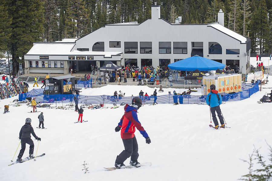
Mt. Bachelor ski area, which typically attempts to open for winter operations on Thanksgiving weekend each year, announced earlier this month that it plans to open on Nov. 26, provided there is enough snow to open all three of its base areas.
With a base elevation of 6,300 feet, Bachelor can pretty much count on getting decent snow every winter. But that is no longer the case for smaller ski resorts like Willamette Pass (base elevation 5,128 feet) and Hoodoo (base elevation 4,668 feet). Those resorts typically try to open by early to mid-December before the winter holidays.
“That’s always the hard part for some of those smaller, lower-elevation resorts,” Lohmann said. “We have seen in years past that unfortunately we’ll get a whole lot of precipitation, but mostly rain.”
Larry O’Neill, director of Oregon Climate Services at Oregon State University in Corvallis, said that just a 500-foot shift in elevation can mean the difference between a lot of rain and a lot of snow.
“With climate change, we’re getting these bigger oscillations in the jet stream,” O’Neill said. “We’re starting to warm enough that the average freezing level is starting to rise above (mountain) passes. At times we’re getting these earlier rain bursts in October, when before, it would have fallen as more snow. The trend now is for it to fall as rain.”
Lohmann said that last winter was considered a weak to moderate La Niña, and the Northwest received about a normal amount of snow in the mountains through January and February.
“But the season ended quite abruptly with much warmer temperatures and a faster melt-out last spring,” she said.
La Niñaconditions are determined by several factors, Lohmann explained, including the temperature of the Pacific Ocean off the coast of South America.
“The cooling of the water below the surface can continue that (La Niña) pattern,” she said. “There’s also a wind pattern, in which the winds actually kind of reverse in that area, too. And that is occurring, too. Last year we had that cooler water, but not the reversal of the winds. But this year both are already occurring, so we’re pretty confident of the La Nina occurring.”
While a La Niña means more precipitation in the Northwest, it has the opposite effect across the Southern U.S., where it makes for drier conditions.
After months of drought conditions in the Northwest, a substantially snowy winter is certainly welcome by snow sports enthusiasts and many others.
“We are looking forward to a much better year for precipitation across the Northwest,” Lohmann said, “and hoping for a good snowpack in the mountains for both recreation and water-supply concerns.”