<img height="1" width="1" style="display:none" src="https://www.facebook.com/tr?id=192888919167017&amp;ev=PageView&amp;noscript=1">
Friday,  April 26 , 2024

Linkedin Pinterest
News / Clark County News

Fog, haze vex Clark County residents, affect air quality

By Becca Robbins, Columbian staff reporter
Published: January 24, 2022, 5:17pm
2 Photos
A cyclist takes in a foggy view Monday morning as winter air persists along the Columbia River at the Vancouver waterfront on Monday morning. The foggy mornings followed by sunny afternoons should remain through the week, before the rain returns next week, according to forecasters.
A cyclist takes in a foggy view Monday morning as winter air persists along the Columbia River at the Vancouver waterfront on Monday morning. The foggy mornings followed by sunny afternoons should remain through the week, before the rain returns next week, according to forecasters. (Amanda Cowan/The Columbian) Photo Gallery

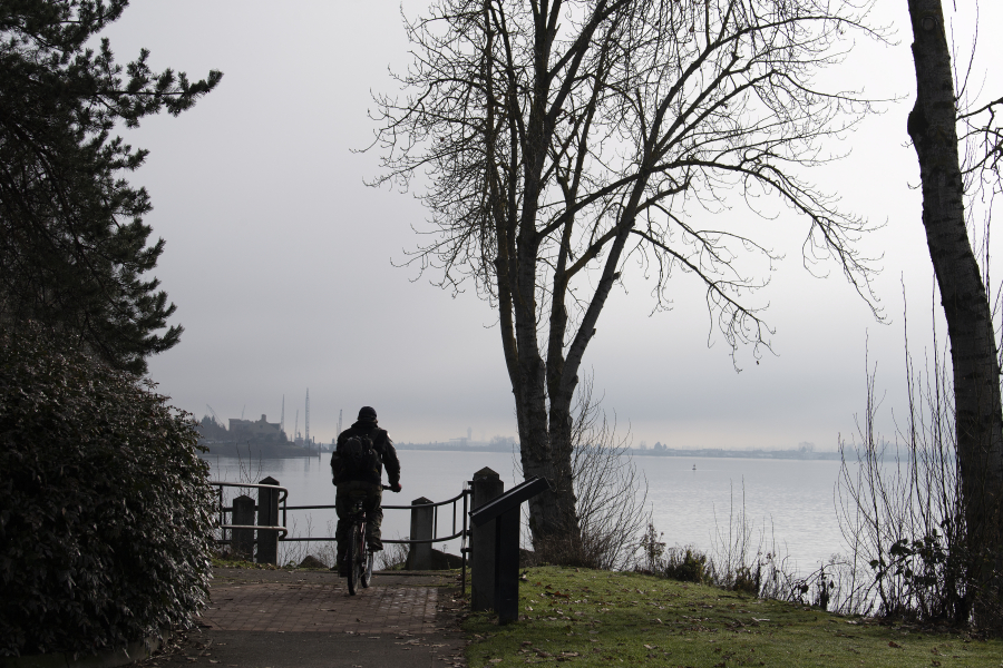
Clark County residents should enjoy the afternoon sun after it burns off this week’s morning fog, forecasters with the National Weather Service say, because the clouds and rain are expected to return by next week.

A persistent high pressure system has trapped overnight cold air toward the ground through the morning hours, creating a pattern of foggy and hazy mornings, said meteorologist Clinton Rockey. The stagnant air also traps pollution from wood-burning stoves and vehicles, which can make for poor air quality for sensitive groups.

Once the warming temperatures in the afternoon burn off the fog, the sun should shine, with high temperatures in the 40s, Rockey said. Higher elevations where the colder air isn’t trapped have been seeing temperatures well into the 50s and even approaching 60 degrees.

The rainy start to the month and the year has kept the area on pace with average rainfall amounts, despite the more recent dry stretch. Although this has been a longer stretch of dry weather, Rockey said it’s common for the area to see short dry spells in the winter months, particularly January.

The snowpack is above normal. After an early season dumping of about 10 to 15 feet of snow on area mountains in December, Rockey said some were concerned the rain that followed would melt the snowpack too early. However, that hasn’t happened, and forecasters don’t predict any big warmups anytime soon that would also impact the snowpack.

The Lower Columbia Basin is at 110 percent of the average snowpack, according to the U.S. Department of Agriculture.

Loading...