MIAMI — Nothing drives hurricane experts crazier than the sentiment, “Oh, it’s just a Category 1.”
It’s not just an annoying attitude, it’s a deadly one. Hardly a hurricane season goes by without a fresh example of a low-category storm causing more trouble than people expected.
Last year, Hurricane Ida swept from Louisiana to New York, killing 87 people. But more people died in the Northeast — where the remnants of the storm, not even a tropical depression at the time, caused catastrophic flash flooding — than in Louisiana, where Ida hit as a Category 4.
Sixteen years earlier, Hurricane Katrina made landfall in nearly the same spot, cementing its place as one of the most destructive hurricanes in modern history. More than 1,800 people died.
It was “only” a Category 3.
Scientists have long argued that the familiar Category 1 to 5 system that hurricane watchers are familiar with doesn’t do a good enough job explaining the risk of a storm. And they’ve proposed all kinds of new ways to categorize them.
“If Katrina is a 3 on a 1-to-5 scale, then that scale is broken. We need to do something else,” said Phil Klotzbach, a Colorado State University meteorologist.
The main problem is that the scale, developed by Coral Gables civil engineer Herbert Saffir and National Hurricane Center director Robert Simpson in 1973, was only designed to categorize storms based on wind speed. But that’s not how the public sees it.
“It’s effectively morphed not just to be the wind threat but all threats from a hurricane,” Klotzbach said.
And there are many. Hurricanes and tropical storms not only can bring devastating strong winds, but also high waves of storm surge, flooding rains and even tornadoes.
With another “above-average” six-month hurricane season starting June 1, scientists like Klotzbach wonder if a new category system could better explain the tremendous danger these storms carry — and help save lives.
New indexes and scales suggested
The issue some scientists have with the Saffir-Simpson scale is that the wind speeds don’t necessarily translate on land. They’re usually measured thousands of feet in the air with hurricane hunter planes while storms are over the ocean.
“You’re never gonna find a 150 mph wind sustained on land,” Klotzbach said. “The minute that storm goes on land that wind doesn’t exist anymore.”
And one measurement doesn’t speak for the whole storm. Hurricanes aren’t a single point. They cover a huge swath, with the strongest winds usually on the eastern side of the direction a storm is moving.
That’s where an alternate metric — the Integrated Kinetic Energy scale — comes in. It ranks storms from a 0.00 to a 4.99 based on the energy of a storm’s entire wind field. Scientists say it offers a more realistic picture of a storm’s total strength.
There’s also the Cyclone Damage Potential Index, which scores storms 1-10 based on wind speed, size of the storm and how fast it’s moving. That can be helpful for differentiating between a storm with a high-wind speed that zooms by and a weaker one that lingers in one spot for longer.
Private industry is in with the alternative scales, too. In 2019, Accuweather introduced the RealImpact Scale, a six-point scale that evaluates wind speeds, storm size, flooding potential and the population of the area a storm is expected to strike.
Klotzbach favors a 1-5 scale based on barometric pressure, which drops as a storm strengthens. Hurricane hunters measure pressure by dropping a sensor into the heart of the storm that beams data back to researchers as it falls.
In a 2020 paper, he and other researchers found categorizing storms based on pressure correlated better with damage and deaths than wind speed alone. They also found that this scale matched closely with the real impacts of older storms; it didn’t register any powerful storms as weaklings, or vice versa.
“That’s my argument. Simplicity,” he said.
The role of rainfall
For Marshall Shepherd, director of the University of Georgia’s atmospheric sciences program, the biggest problem with the current hurricane ranking system is rain.
He pointed to Hurricane Florence, which came roaring toward the Atlantic coast as a Category 4 but collapsed to a Category 1 before coming ashore in North Carolina. When the category downgrades made news in 2018, some residents decided to ignore earlier evacuation orders and stay put. But rain and storm surge from the weaker storm still caused record-breaking flooding that killed dozens and left hundreds in need of rescue evacuations.
Over a career of research, Shepherd has found that small storms can pack a huge punch in terms of rainfall, one that storm watchers only paying attention to categories may be unprepared for.
“We get all geared up as we should for Cat 3, 4, 5 but often the most impactful in terms of rainfall can be a tropical storm,” he said. “I see debates on Twitter all the time, is it a Cat 2 or a strong Cat 1? And I’m saying it doesn’t matter, the impacts are the same.”
Shepherd and other researchers proposed a metric to address this problem, one that goes alongside hurricane categories. They call it the “extreme rainfall multiplier.”
Researchers found that historic storms fell between a 1 and a 7 on the scale. Hurricane Florence ranked 5.7 on the day it made landfall, the second highest of any historical storm after Hurricane Harvey.
Shepherd said the scale could be used for all rainstorms, not just hurricanes. People die every year after driving on flooded roads and bridges because they don’t understand the danger.
“Until we fundamentally amplify the risk of flooding and water in general for rainstorms, that’s always a backdrop challenge to conveying hurricane risk as well,” he said.
‘A pretty institutionalized thing’
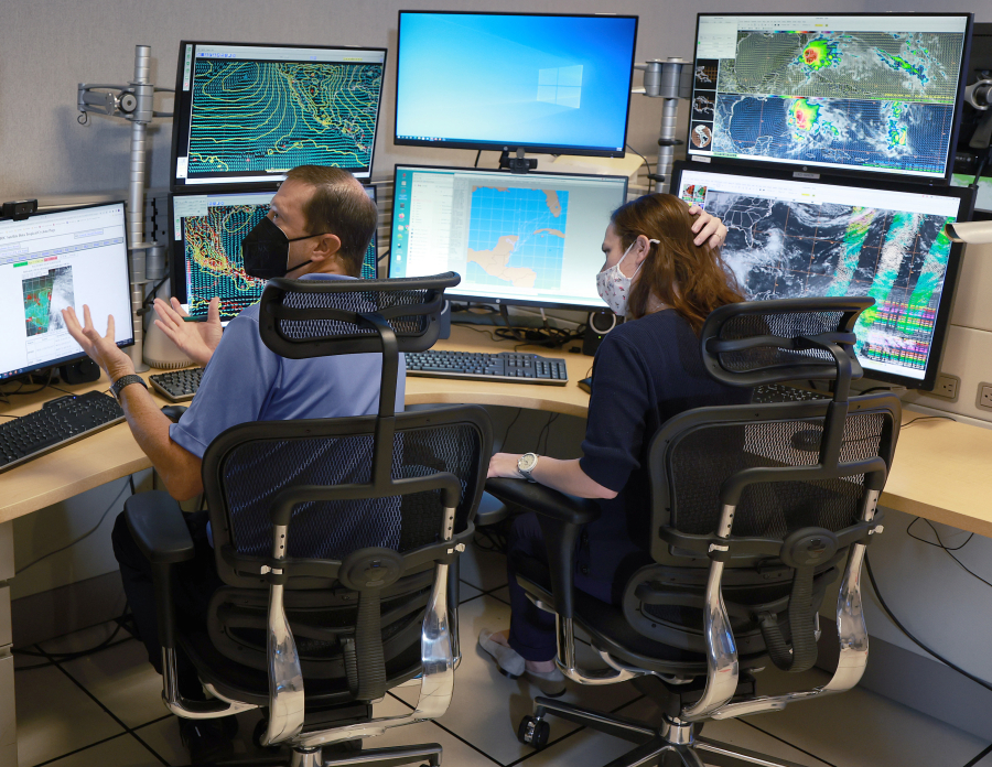
The fact that the Saffir-Simpson scale doesn’t accurately convey the danger of a storm is no mystery to the experts at the National Hurricane Center. But it’s hard to do away with one of the most recognizable scales in the world.
“It’s a pretty institutionalized thing; even if we choose not to make use of it, people are going to talk about it,” said Michael Brennan, branch chief of the hurricane specialist unit at the hurricane center.
In defense of Saffir-Simpson, Brennan said it works well for ships and some of the more mountainous Caribbean islands, where the major threat of a storm is the winds. And besides, there’s no main contender for a replacement.
“There’s really not any other single scale that would encapsulate all the risks in a way that would be easy to communicate to the public,” he said.
Instead, the hurricane center’s approach has been to de-emphasize the scale and focus on individual hazards. The center has launched a map that shows the estimated arrival time of hurricane-force winds and another that predicts how much storm surge a community might see.
The hurricane center has also debuted a new set of storm surge watches and warnings alongside its hurricane watches and warnings.
“If you tell someone it’s a letter X storm, what does that person do about that? It doesn’t tell them anything about it,” Brennan said. “How do you get actionable info to people that they take the appropriate action on.”